"Nisar's Expertise Enhances Understanding of Forests and Wetlands: JPL"
TL;DR Summary
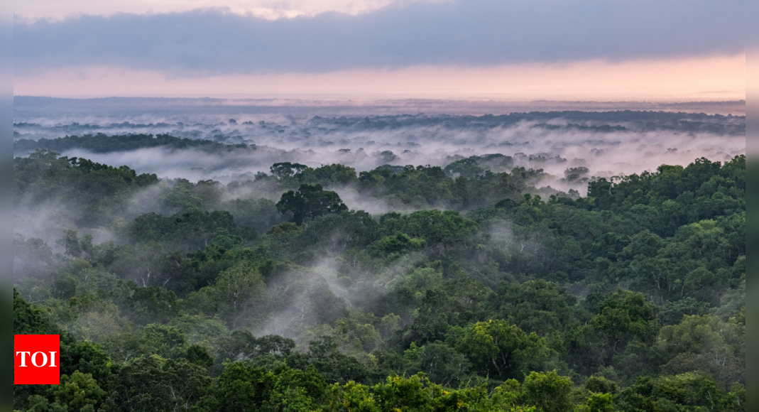
The Nasa-Isro Synthetic Aperture Radar (Nisar) satellite, scheduled to launch in 2024, will provide researchers with unprecedented insights into Earth's forests and wetlands. By scanning the planet's land and ice surfaces every 12 days, Nisar will track changes in forests and wetlands, which play crucial roles in the global carbon cycle and climate change. The satellite's radar technology will help understand the impact of deforestation on the carbon cycle, improve knowledge of forest growth and degradation, and aid in studying geological events and environmental changes such as earthquakes, volcanic eruptions, and glacier melting.
Reading Insights
Total Reads
0
Unique Readers
0
Time Saved
2 min
vs 3 min read
Condensed
82%
531 → 93 words
Want the full story? Read the original article
Read on IndiaTimes