"Volcanic Origins: Zealandia, Earth's Hidden Continent, Emerges from Fiery Depths"
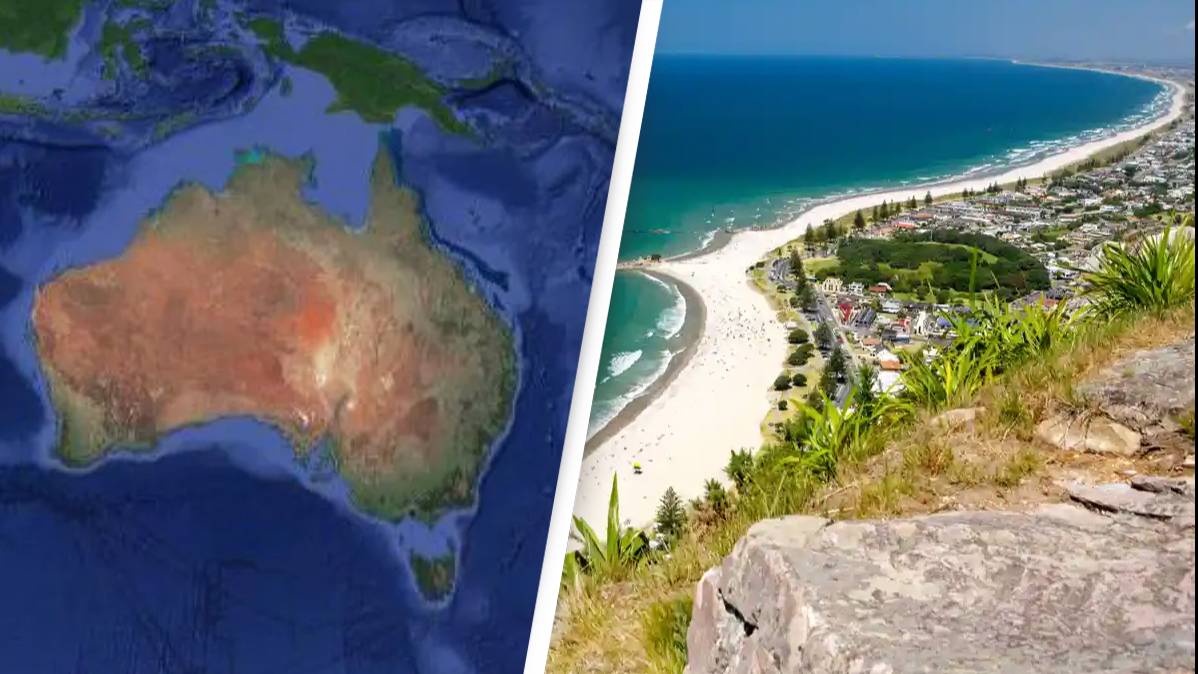
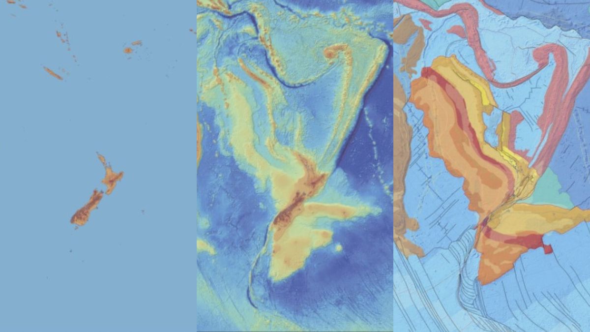
Zealandia, the underwater continent that includes New Zealand and New Caledonia, has been fully mapped for the first time, providing scientists with new insights into its formation. The mapping revealed that Zealandia stretched, twisted, and thinned as it separated from the supercontinent Gondwana between 60 million and 100 million years ago. The separation was partly driven by a giant volcanic region containing magnetic lava rocks. The mapping also uncovered a 100 million to 250 million-year-old granite backbone that winds through the middle of Zealandia. This comprehensive map of Zealandia could help in understanding New Zealand's resources, environment, and natural hazards.