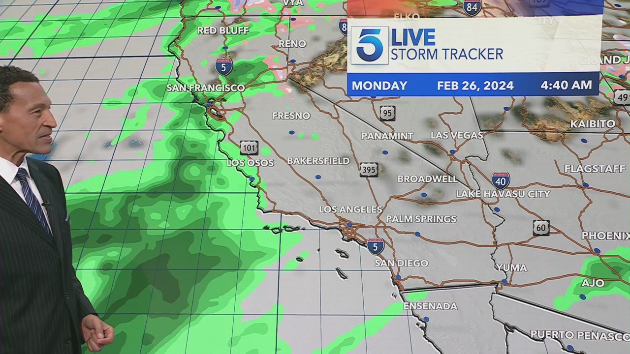
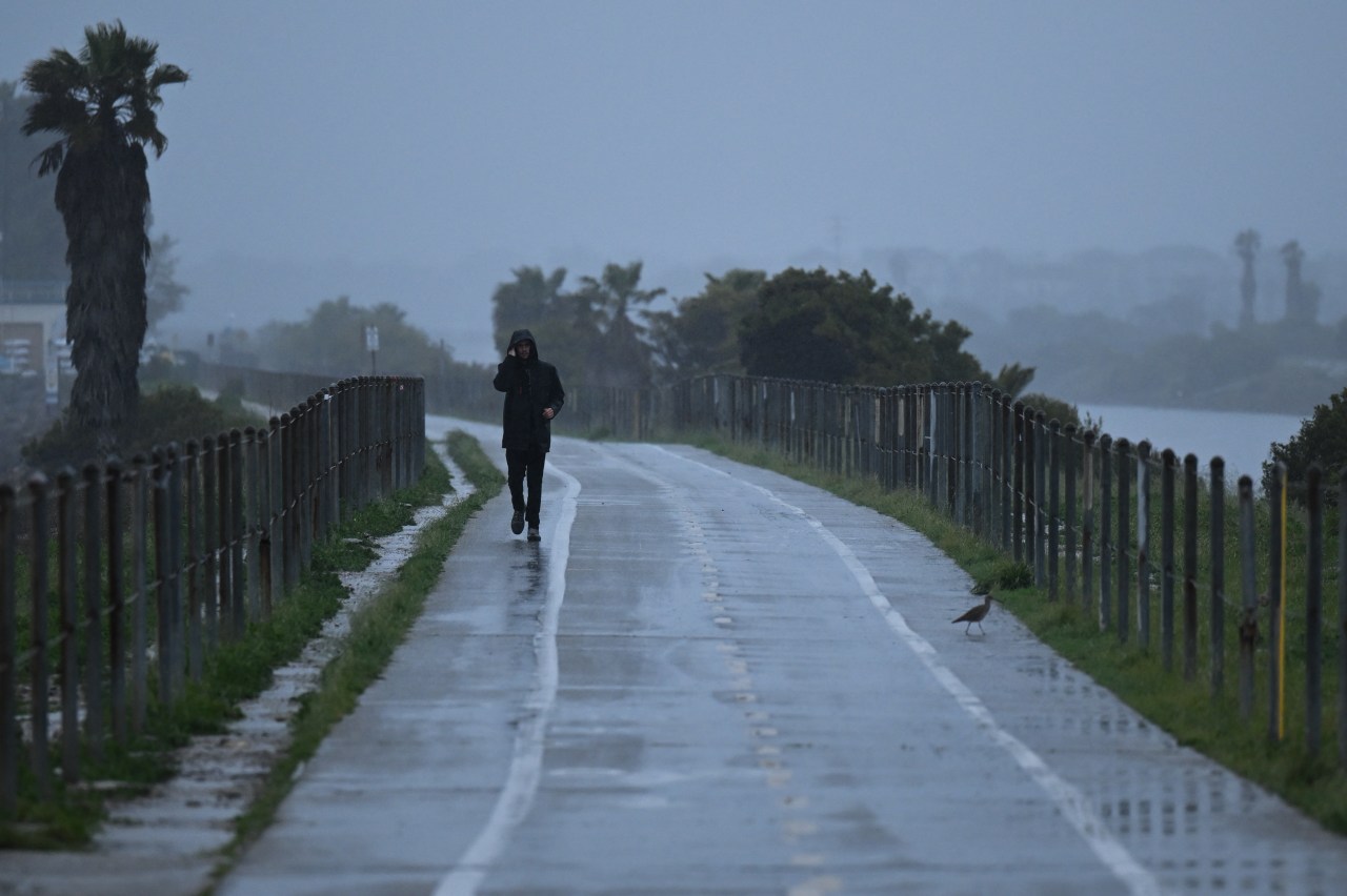
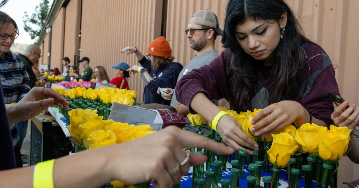
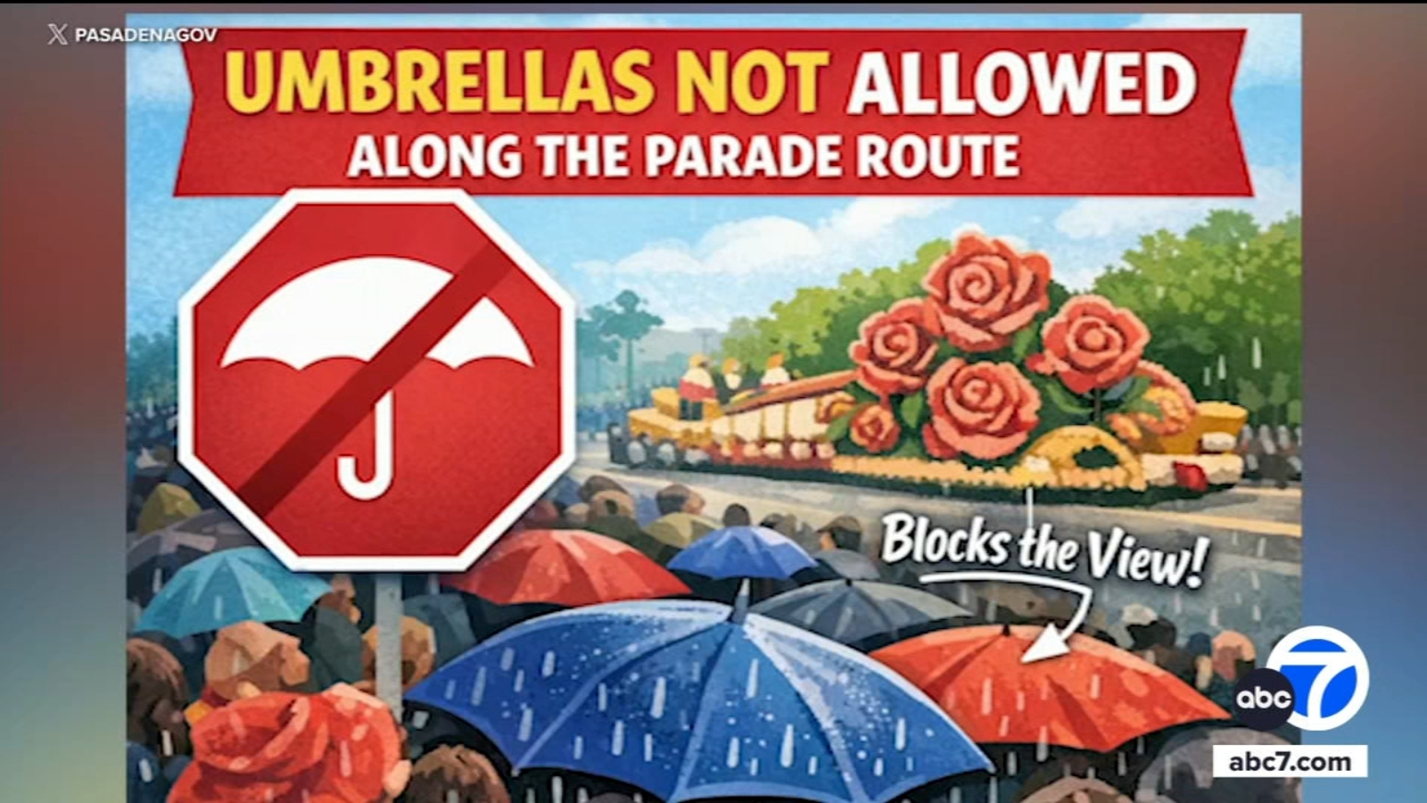
The city of Pasadena has warned attendees of the Rose Parade not to bring umbrellas due to rain forecasted for New Year's Day, which could be the first rain during the event since 2006. Instead, spectators are advised to wear rain jackets or ponchos, as umbrellas will block views along the parade route. The chances of rain are high, with forecasts indicating an 80-90% likelihood.
Southern California faces potential rain during the Rose Parade for the first time in two decades, prompting organizers to prepare for wet conditions, possible flooding, and safety concerns, while maintaining optimism that the parade will proceed as usual despite the weather.
Heavy rain in the Portland area is tapering off tonight, but it has caused flooding and river warnings, with some rivers reaching major flood stages. The weather will calm down through Christmas week with scattered showers and no significant wind, making for relatively mild holiday weather. Snow is expected to fall tonight, potentially impacting ski areas, while the overall forecast suggests minimal weather disruptions during Christmas.
Unseasonably cool weather continues through Labor Day weekend with temperatures in the 40s and 70s, a dry spell, and a chance of rain arriving Thursday, followed by even cooler air next week, with a potential for more rain and a brief warm-up mid-month.
The Atlantic hurricane season is currently quiet for Texas, with minimal activity expected in the next week, but the season isn't over yet. A front will bring cooler temperatures and increased rain chances this weekend, especially around Labor Day, with most of the region receiving 0.5 to 1.5 inches of rain and highs dropping to the upper 80s to low 90s.
The D.C. area is experiencing patchy fog and will see increasing rain tonight, with heavy downpours expected through Wednesday, potentially easing the region's drought. A dense fog advisory is in effect until 2 a.m., with visibility dropping to 0.25 miles or less. Temperatures will rise to near 60 before gusty winds bring a drop into the upper 30s to mid-40s by Thursday. The rainstorm could bring 1 to 2 inches of rain, the most in over two months, with possible spotty flooding and winds over 30 mph.
Upstate New York and parts of the Tri-State area are bracing for a spring storm bringing heavy snow, rain, and high wind gusts, with the Adirondacks and Catskills expecting up to two feet of snow. While areas like New York City will be spared from snow, they will experience intense rainfall and potential flooding between Tuesday and Thursday, with wind gusts posing a threat as well. Showers are expected to linger through the weekend.
Massachusetts is expected to experience warmer temperatures this weekend, with highs reaching 45-50 degrees on Saturday and slightly milder conditions on Sunday. However, rain is forecasted for Saturday, with a steady downpour expected for the rest of the day. Looking ahead to March, while the Climate Prediction Center anticipates a warmer than average month, the author advises against putting away winter gear just yet, as March in New England can still bring cold and stormy weather, and there is a possibility of wintry precipitation later in the month.
After a period of dry weather, Southern California is expected to see more rain as a low-pressure system from the Pacific Northwest moves in, bringing showers to the region late Sunday into Monday. The storm is not anticipated to bring heavy rainfall, with expected totals of an inch or less in metro Los Angeles before it moves out on Tuesday. In the meantime, the Southland can expect clear skies and temperatures in the upper 60s and low 70s.
A Winter Weather Advisory has been issued for several Northeast Ohio counties due to anticipated freezing rain, impacting the morning commute on Tuesday. Ice accumulation and snow will melt off by mid-morning, followed by rain throughout the day with breaks late. The forecast also includes more rain on Wednesday and Thursday, with temperatures near 50° on Thursday, and rain clearing out by the end of the week.
A low-pressure system developing in the Pacific Northwest will bring a chance of rain to Southern California, starting from the Central Coast and gradually moving south. The National Weather Service predicts rainfall amounts to be modest, with higher totals in the north and minimal amounts in Los Angeles County. The storm system will also result in lower temperatures, with daytime highs expected to reach the upper 60s to low 70s in coastal areas and inland valleys on Sunday, Monday, and Tuesday.
The Tampa Bay area can expect passing showers this afternoon and evening, with spotty rain in central Florida and the Gulf Coast on Tuesday. Wednesday will see stronger winds and rounds of downpours, with the best chance for widespread rain on Thursday as an area of low pressure crosses the state. Rain totals during this three-day event could reach 1-3 inches in many areas. Drier conditions are expected on Friday and through the weekend.
The summer heat in Portland, Oregon, has come to an end as cooler fall weather arrives early this year. A thick marine layer has moved inland, which was a common occurrence in summers before 2013 but has become rare in recent years due to consistent warm/hot weather. The temperature in Portland reached a high of 71 degrees, the coolest day in over two months. August is still on track to be the warmest on record in Portland, but the forecast for the next 10 days shows a lack of heat with a possibility of showers. The wettest period is expected to be in the first seven days, which will help dampen fires and bring relief to the region.
Vermont communities are beginning the cleanup process after days of flooding, with water levels receding but concerns about more rain in the forecast. Residents are advised to check for boil-water notices, road closures, and school closures, while also taking precautions when returning to flooded properties. Resources and assistance can be found through Vermont 2-1-1 and the state's emergency management agency.