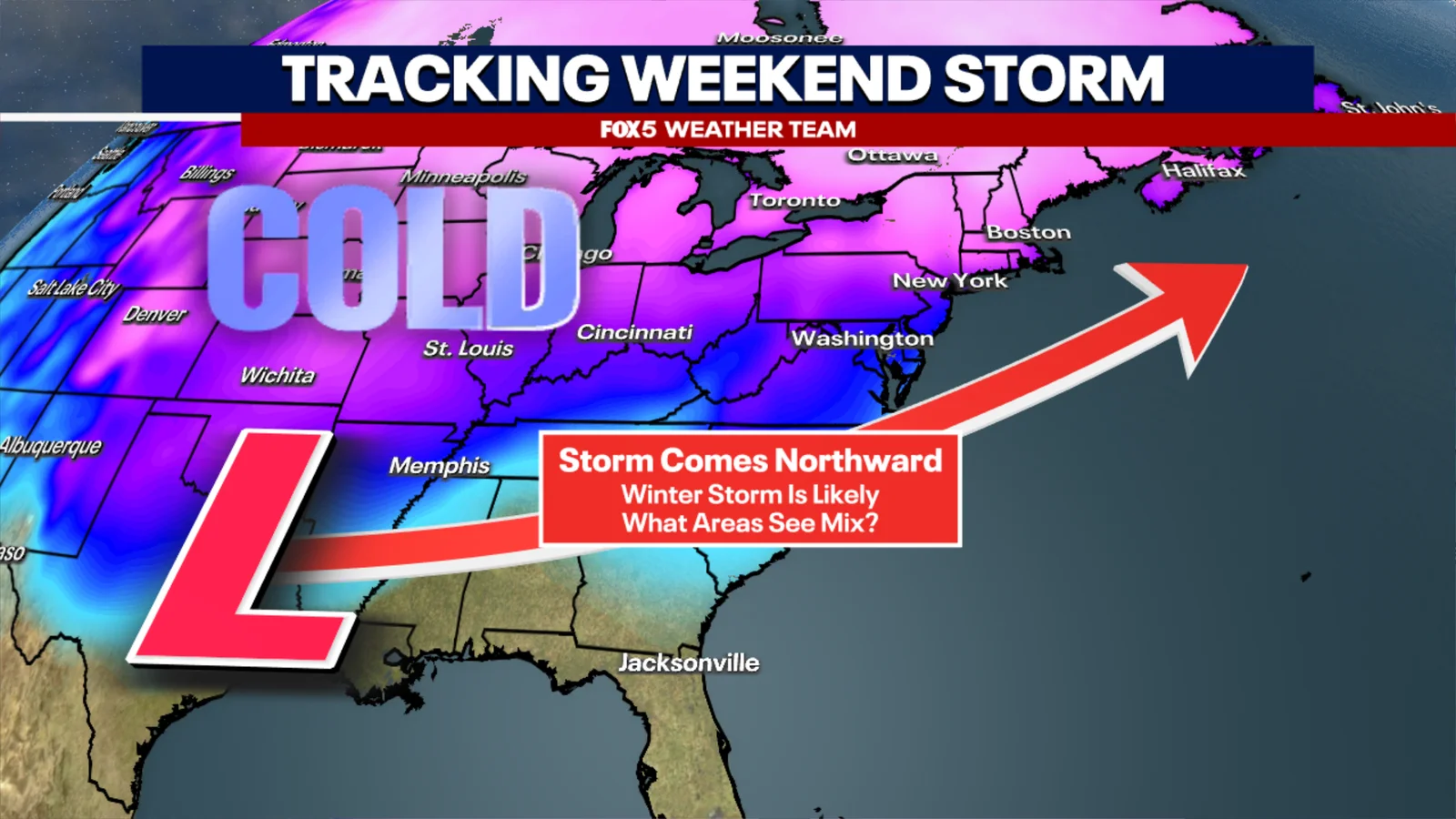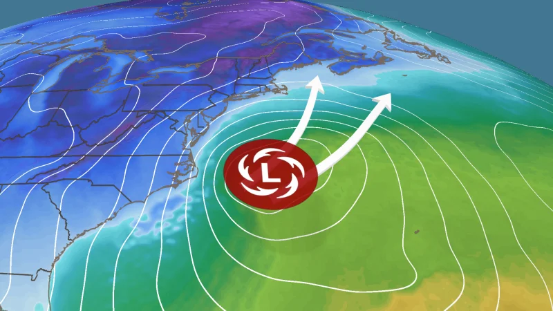
East Coast Faces Possible Bomb Cyclone This Weekend: Three Snow Scenarios
Forecasters expect a powerful winter storm to form off the Carolinas this weekend and intensify into a bomb cyclone, though its exact track remains uncertain. Models outline three main scenarios: a coastal storm that spares major Northeast cities, a near-coast path bringing heavy snow from the Mid-Atlantic to New England, or a farther-out system that stays offshore with minimal impacts. Small track shifts (around 100–200 miles) could mean the difference between significant snow for the I-95 corridor and a cold, windy weekend elsewhere, so residents should monitor forecasts for potential blizzard winds, coastal impacts, and beach erosion.