"Anticipating Snow: Impacts and Forecasts for Western Washington and Northwest Oregon"
TL;DR Summary
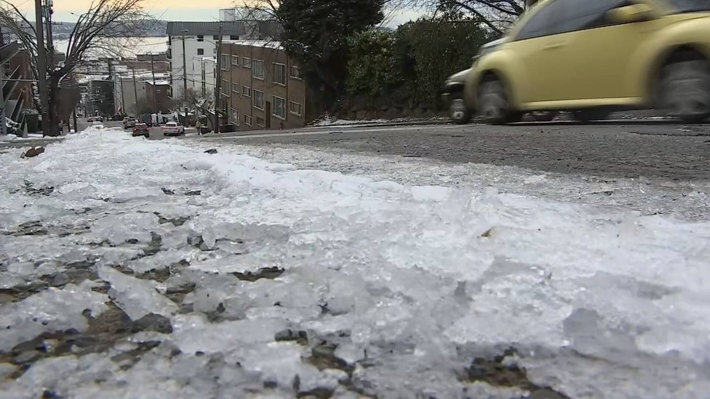
Forecast models for Western Washington show a wide range of possibilities for snow this week, with light snow seen in the South Sound and potential for wet snow showers in King and Snohomish counties. Thursday may bring some light snow or flurries, with the best chance for consistent snow in the North Sound and North Interior. Friday's forecast remains uncertain, with the potential for major lowland snow, sleet, or freezing rain depending on the track of a low-pressure area. The forecast models are expected to converge on a common solution in the next couple of days, but preparations for winter weather impacts on Friday and Saturday are advised.
- ‘Wide range’ of possibilities for Western Washington snow as forecasts take shape KIRO Seattle
- Feet of snow, low visibility force mountain passes to shut down KING 5 Seattle
- As high winds subside, when should western Washington expect lowland snow? | KOMO KOMO News
- Multiple NW Oregon, SW Washington school districts closed, delayed due to snow KATU
- New Winter Storm Set To Bring Snow To Northwest | Weather.com The Weather Channel
Reading Insights
Total Reads
0
Unique Readers
25
Time Saved
2 min
vs 3 min read
Condensed
75%
424 → 108 words
Want the full story? Read the original article
Read on KIRO Seattle