"NASA's Pollution-Tracking Satellite Reveals Stunning Air Quality Images"
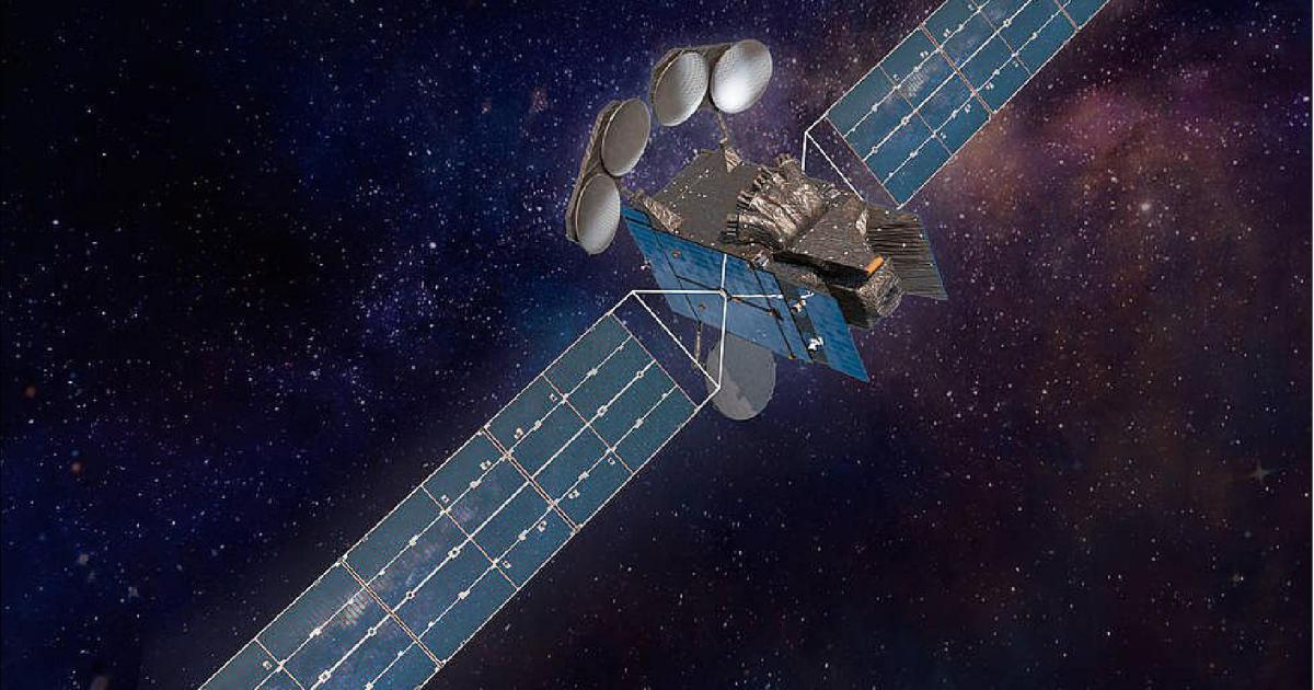
NASA's TEMPO satellite, designed to monitor air pollution from space, has shared its first images, showcasing its ability to track pollution across North America. TEMPO can measure air pollution with high resolution and in short time frames, providing data on factors like rush hour traffic and wildfires. The satellite's data will be used to monitor and improve air quality, benefiting communities and decision-makers. The images include pollution maps of Los Angeles, New York, Washington, Houston, and New Orleans, showing nitrogen dioxide levels. TEMPO will continue to collect data on ozone, nitrogen dioxide, formaldehyde, aerosols, water vapor, and trace gases across North America.
Reading Insights
0
6
3 min
vs 4 min read
87%
793 → 102 words
Want the full story? Read the original article
Read on Digital Trends