"Explore Mars in Unprecedented Detail with Massive 5.7-Terapixel Image"
TL;DR Summary
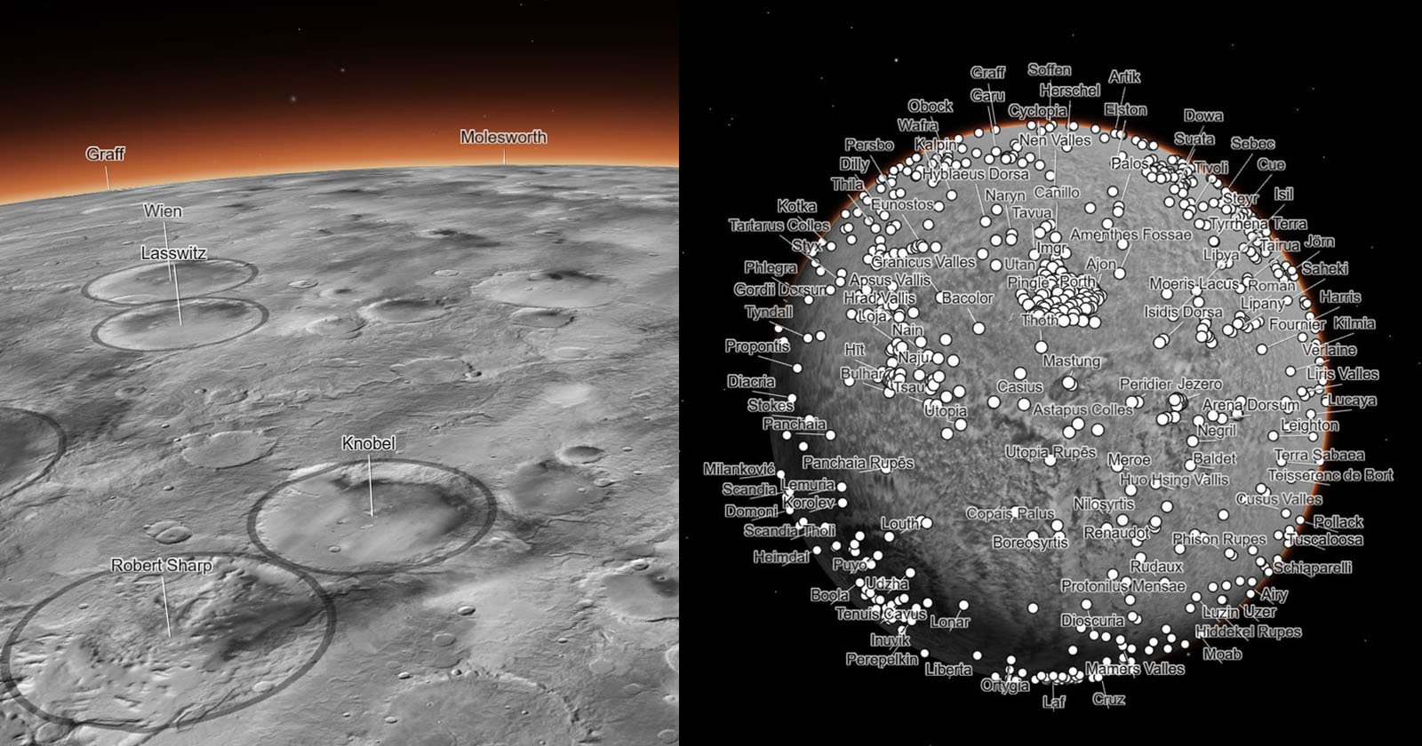
Caltech’s Bruce Murray Laboratory for Planetary Visualization has created a 5.7-terapixel global image of Mars, which is freely available to researchers and the public through NASA’s Planetary Data System. The image was created at a scale of five meters per pixel and is comprised of more than 110,000 individual images captured by the Context Camera aboard NASA’s Mars Reconnaissance Orbiter. The 5.7 trillion pixel-image covers 99.5 percent of the Martian surface between 88 degrees south and 88 degrees north. The remaining 0.5 percent was either not imaged or available in high enough quality when the mosaic was created.
- Scientists Have Created a Huge 5.7-Terapixel Global Image of Mars PetaPixel
- This interactive Martian mosaic from NASA is the coolest thing I’ve seen this year Yahoo Entertainment
- #Shorts | The Largest Image of Mars NASA Jet Propulsion Laboratory
- Incredible High-Res Interactive Map Shows Mars As You've Never Seen It Before IFLScience
- Navigate a new Mars map of craters and volcanoes EarthSky
Reading Insights
Total Reads
0
Unique Readers
5
Time Saved
3 min
vs 4 min read
Condensed
87%
778 → 98 words
Want the full story? Read the original article
Read on PetaPixel