FEMA Urges Preparedness for Massive 2026 Winter Storm Across 34 States
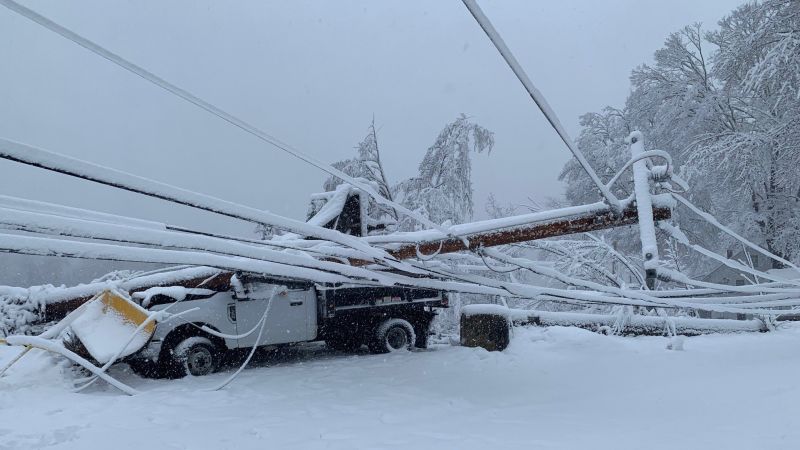
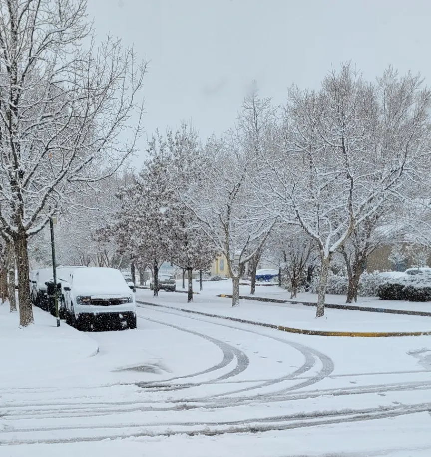
A massive winter storm is forecast to bring heavy snow, dangerous freezing rain, and life-threatening wind chills across up to 34 states, potentially affecting 230 million Americans and causing widespread power outages, tree damage, and hazardous travel. FEMA and DHS urge following local officials, enabling emergency alerts, and preparing supplies for several days, including heating sources and shelter plans. Stay indoors when advised, avoid travel, check on neighbors, and practice safety to prevent fires, carbon monoxide poisoning, hypothermia, and frostbite. Use resources like 2-1-1 for services, text SHELTER + ZIP to 43362 to locate shelters, and Ready.gov/winter-weather for more guidance.