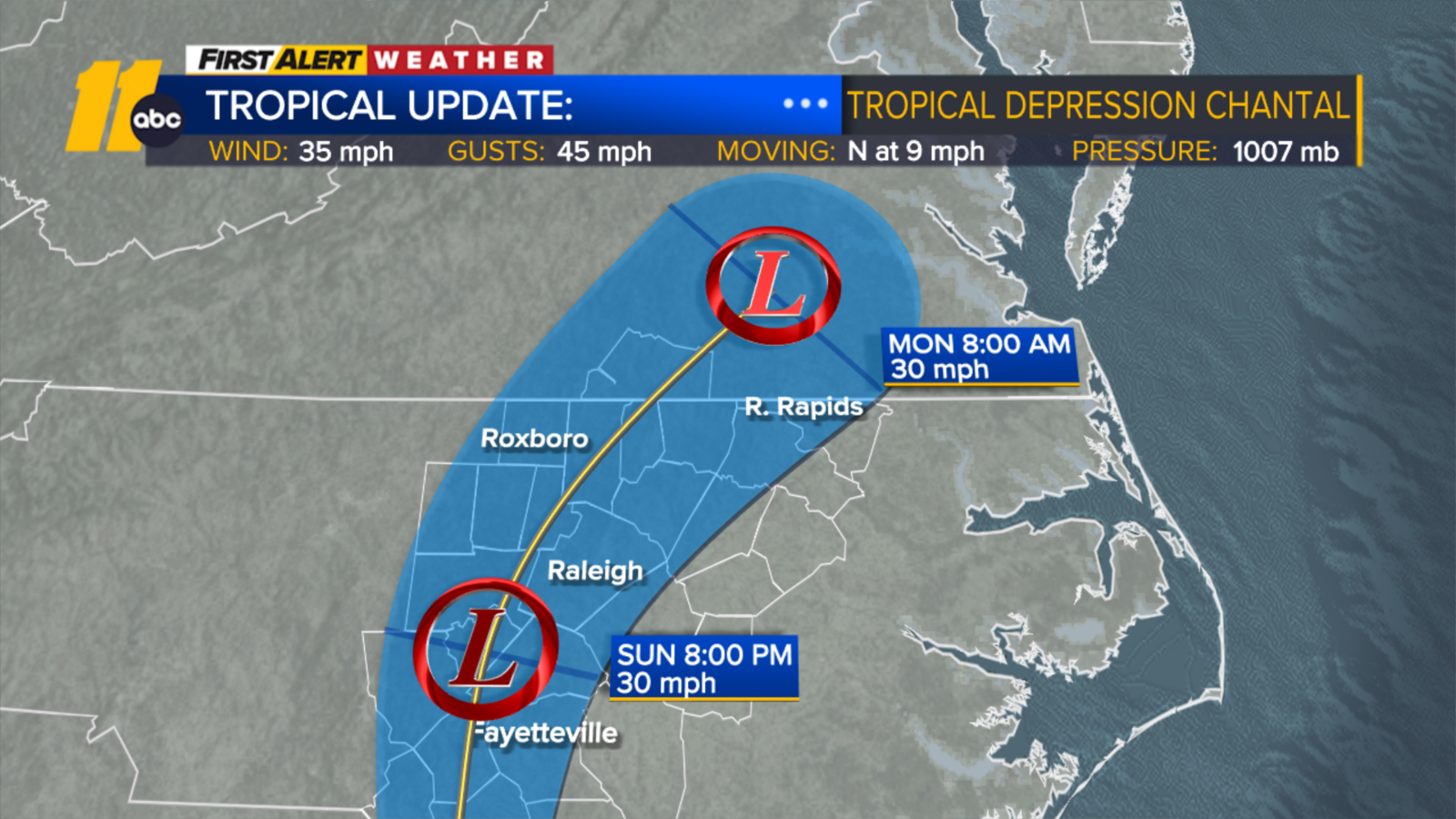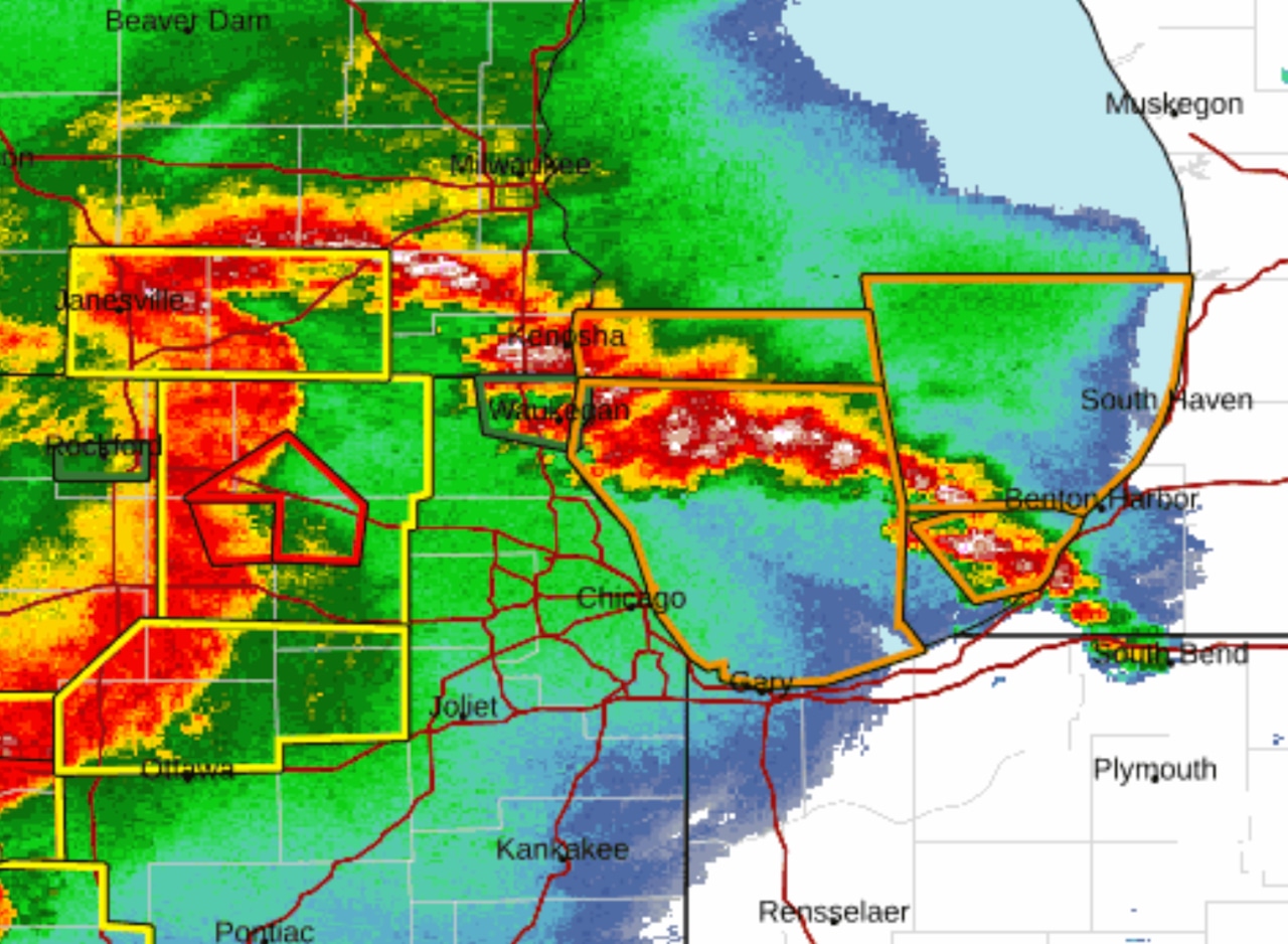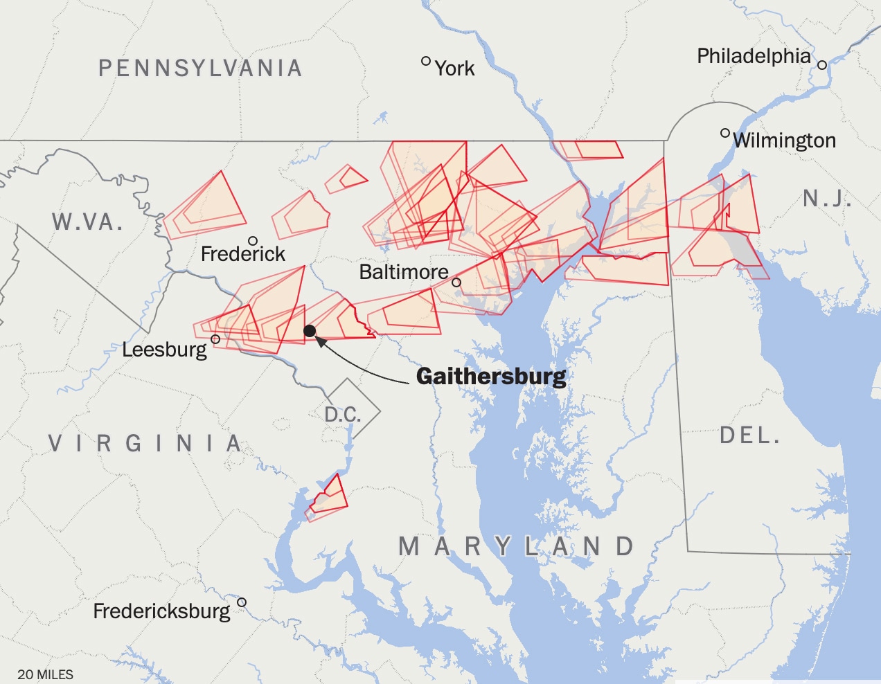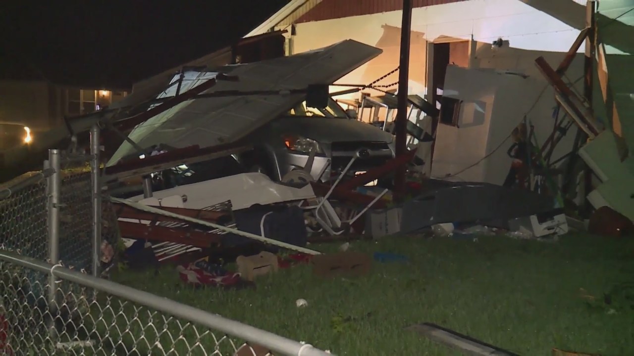
Indiana Storms Bring Hail, Trigger Tornado Watches Across Central Region
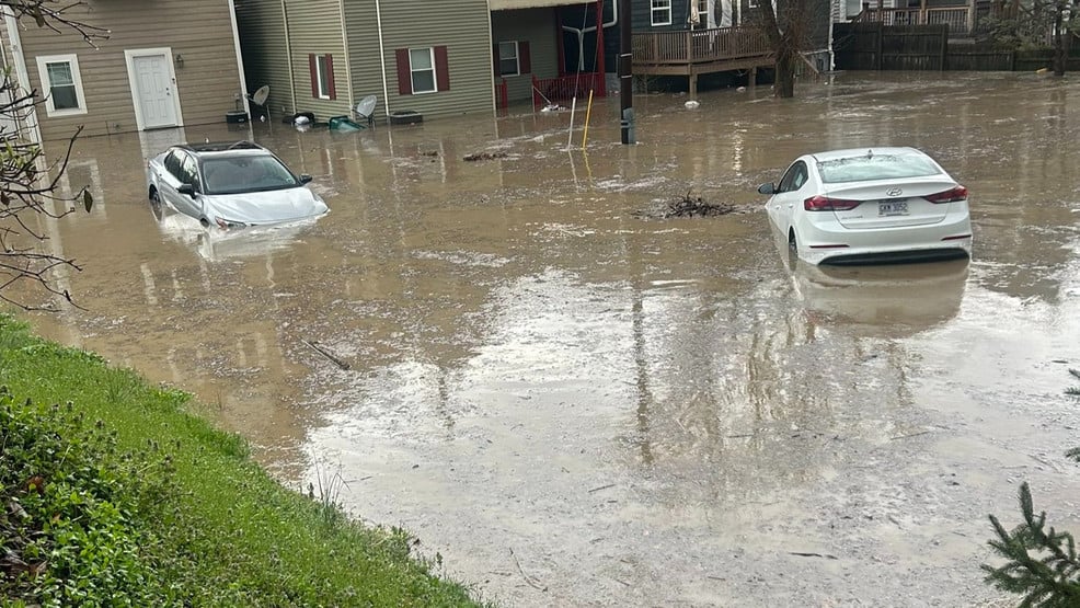
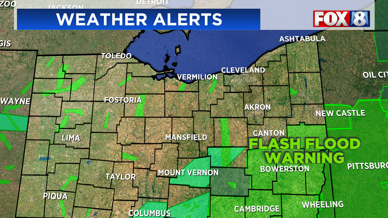
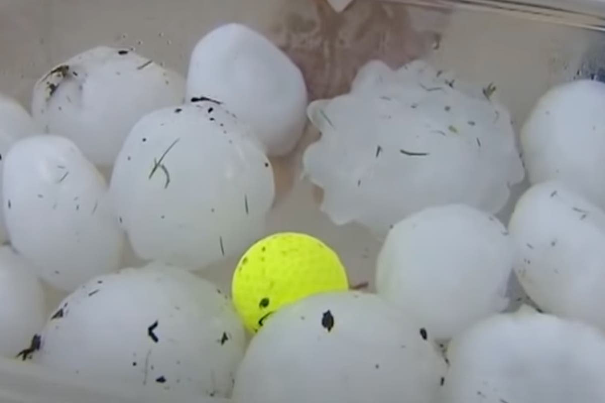
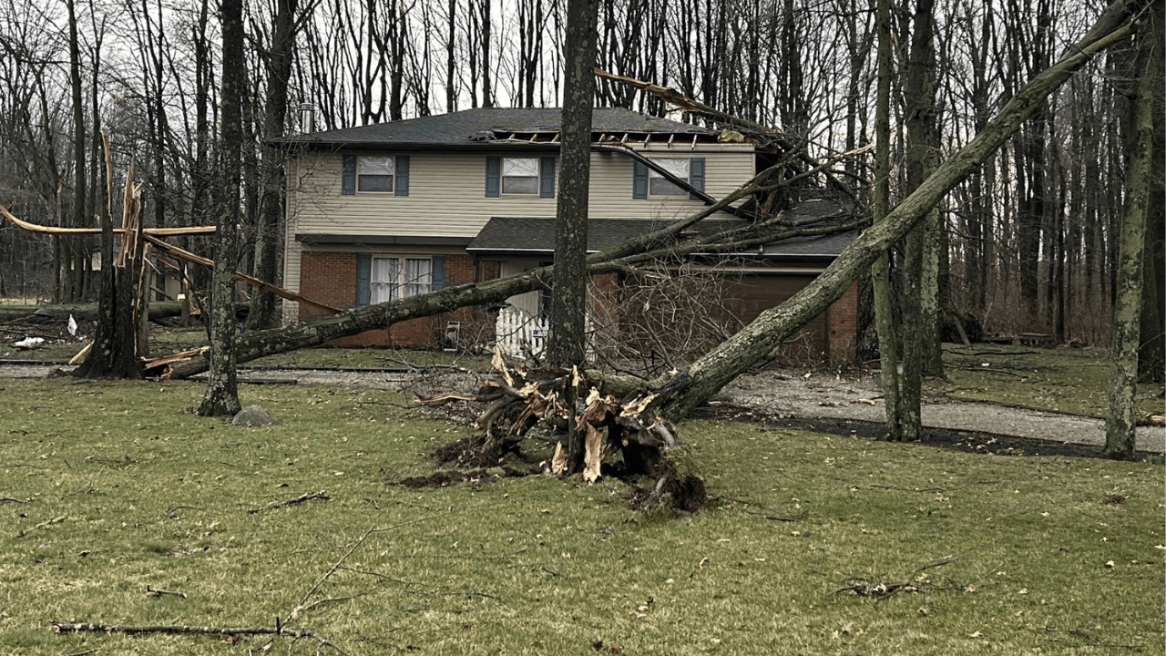
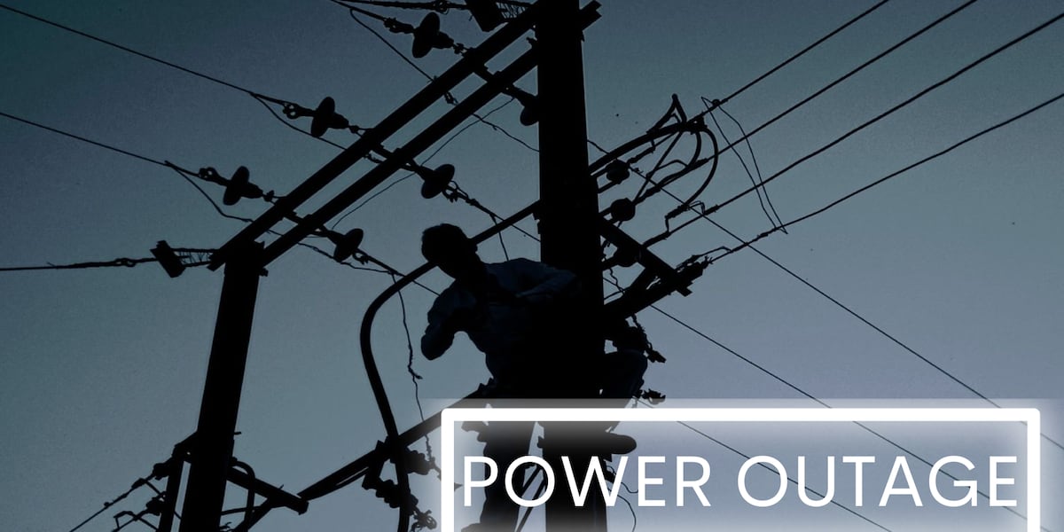
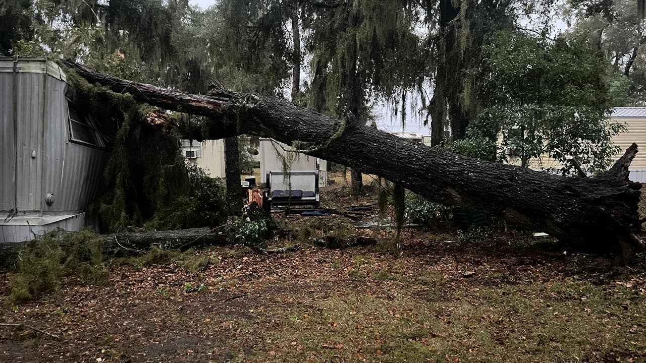
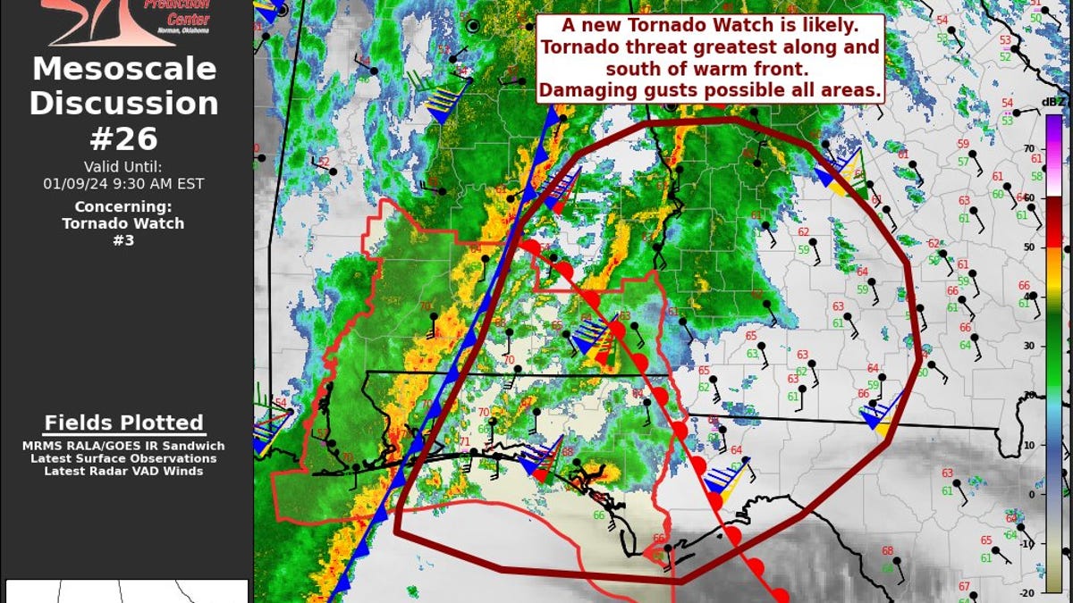
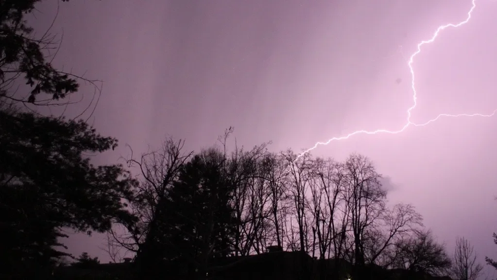
A line of severe storms moved through central Indiana, bringing hail and damaging winds and prompting tornado watches for Marion County and nearby counties, with a confirmed tornado west of Bloomington and multiple tornado warnings in Morgan, Bartholomew, Johnson, and Shelby counties. After the system passes, cooler temperatures and a chance of Sunday snow are expected.