California braces for multi-foot Sierra snow as storms roll in
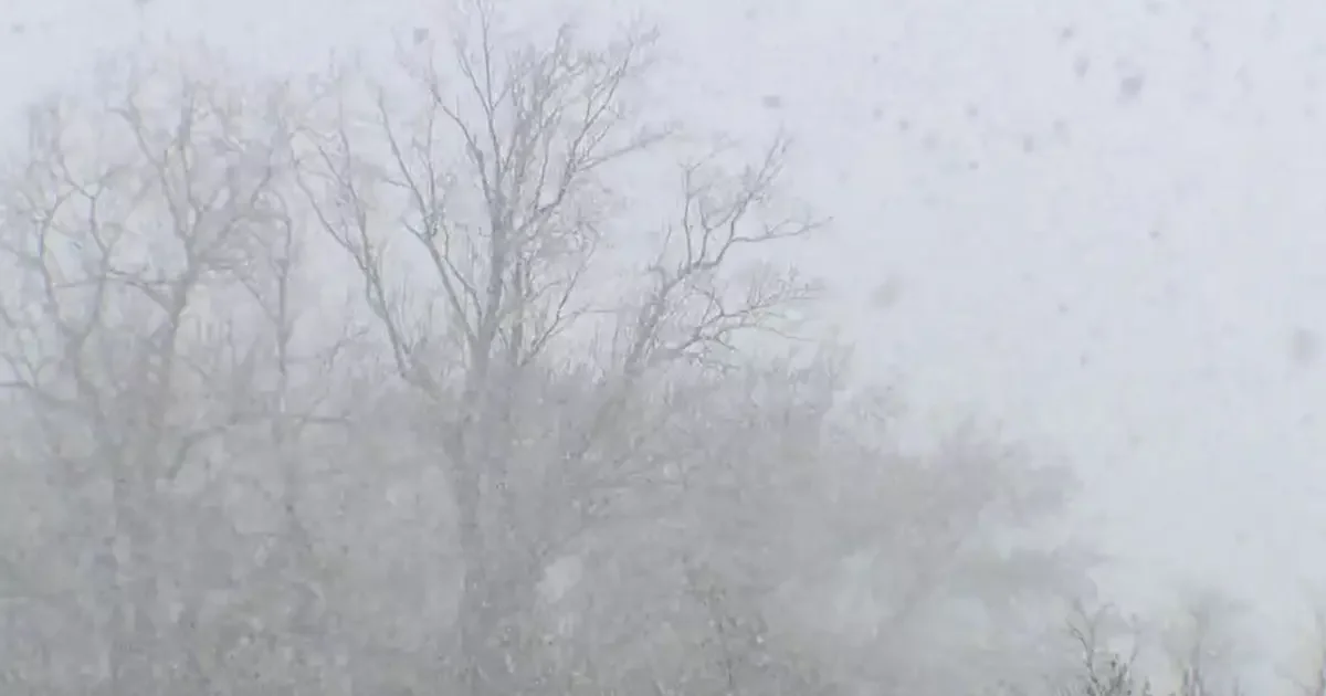
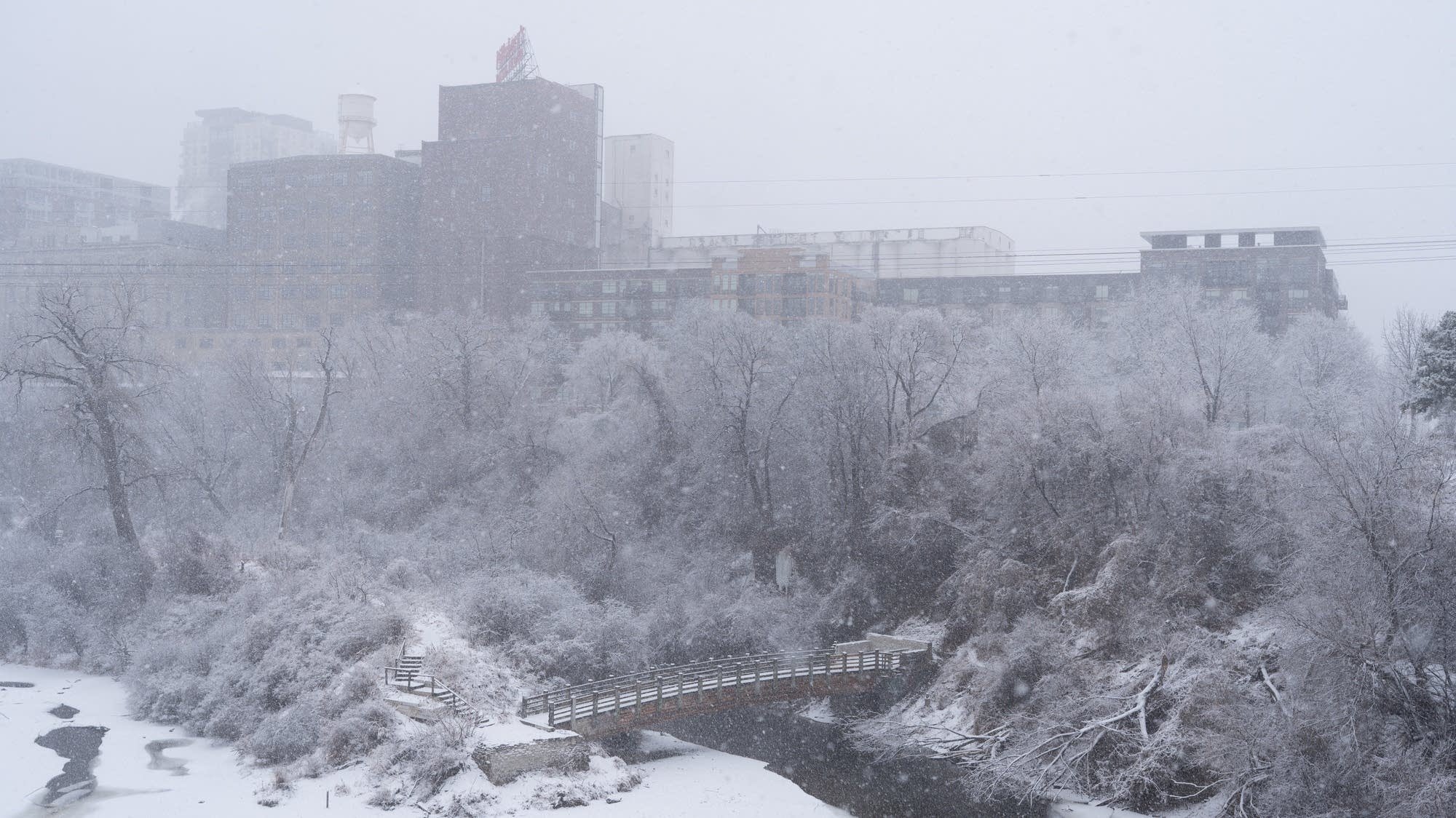
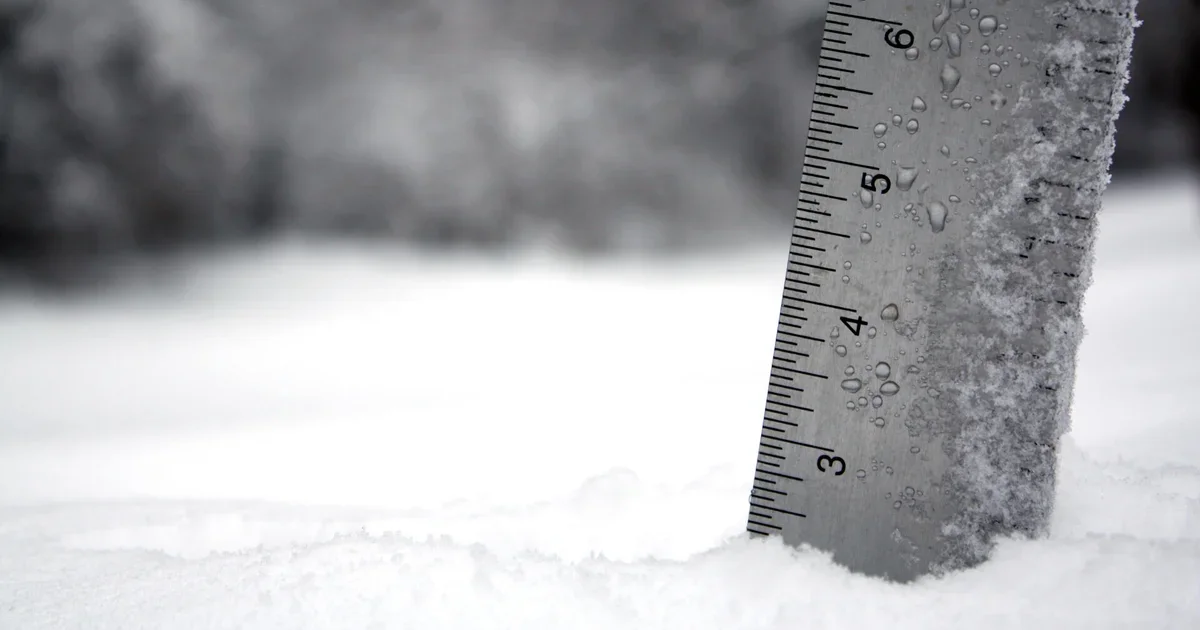
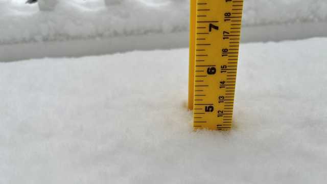
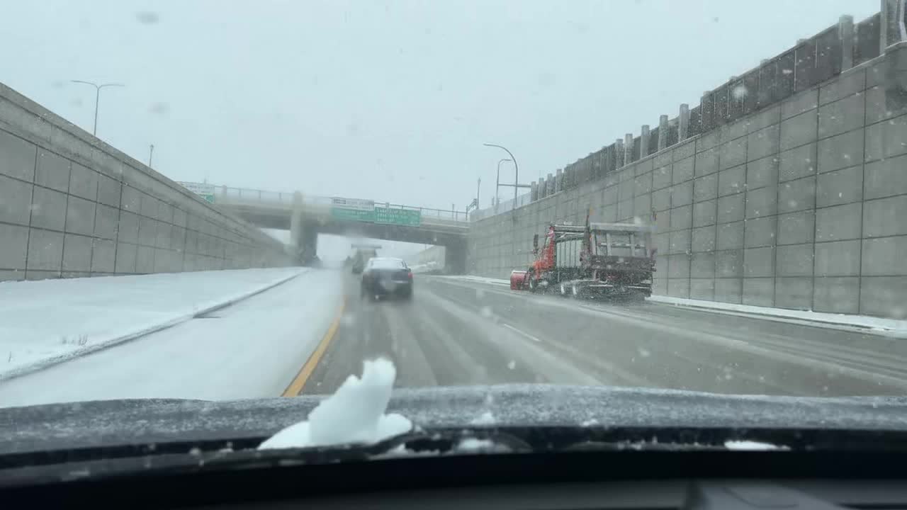
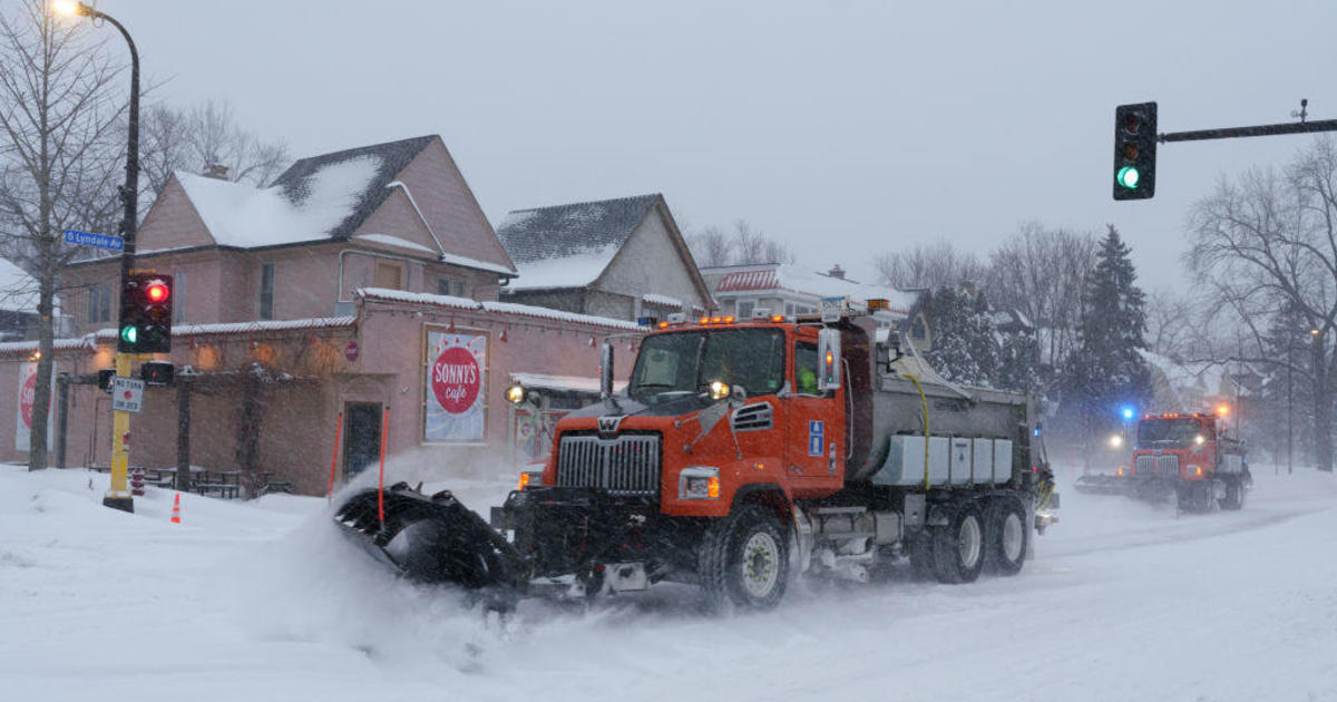
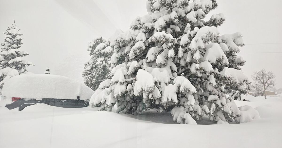
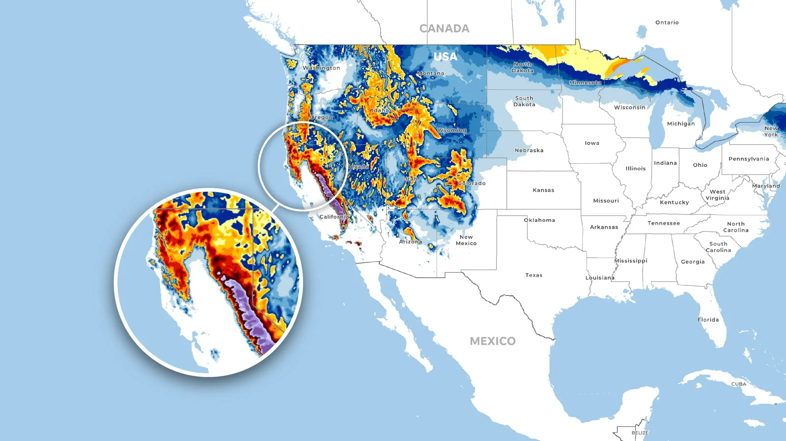
A series of winter storms is forecast to bring 4 to 8 feet of snow to the Sierra by midweek, with snow levels dropping to roughly 3,500–4,500 feet; Donner Peak logged 33 inches in the last 48 hours, and Sacramento could see minor snow by Wednesday as heavy rain and snow sweep across the state, with power outages reported in El Dorado and Calaveras counties.