Houston Braces for Widespread Ice as Winter Storm Takes Shape
TL;DR Summary
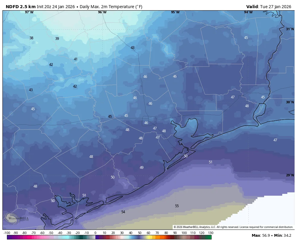
Forecasts indicate a wintry mix will bring widespread ice to the Houston area Sunday, with about 0.1–0.25 inch of ice inland and up to 0.1 inch near the coast, as temperatures dip below freezing tonight and again Sunday night; there’s a chance of sleet and even thundersleet, and travel should be limited as roads may be hazardous. Some inland areas may briefly rise above freezing Sunday afternoon, but temperatures fall back Sunday night into a very cold Monday. A very cold start is expected Monday, with sunny skies helping but icing risk lingering inland; another Arctic front could arrive next weekend. An update is expected later tonight.
- Forecast comes into better focus, with ice impacts likely for large parts of Houston on Sunday spacecityweather.com
- Live updates: Houston winter storm latest, Saturday timeline, icy roads fox26houston.com
- Thunderstorms and rain ahead of Ice & Winter Storm Warnings in Houston click2houston.com
- When will freezing weather hit Austin? Here's an hour-by-hour forecast statesman.com
- Forecast shift: Even more ice is now expected in South Texas expressnews.com
Reading Insights
Total Reads
0
Unique Readers
5
Time Saved
5 min
vs 6 min read
Condensed
90%
1,055 → 107 words
Want the full story? Read the original article
Read on spacecityweather.com