Historic Northeast Blizzard Dumps Record Snow, Halting Travel and Power
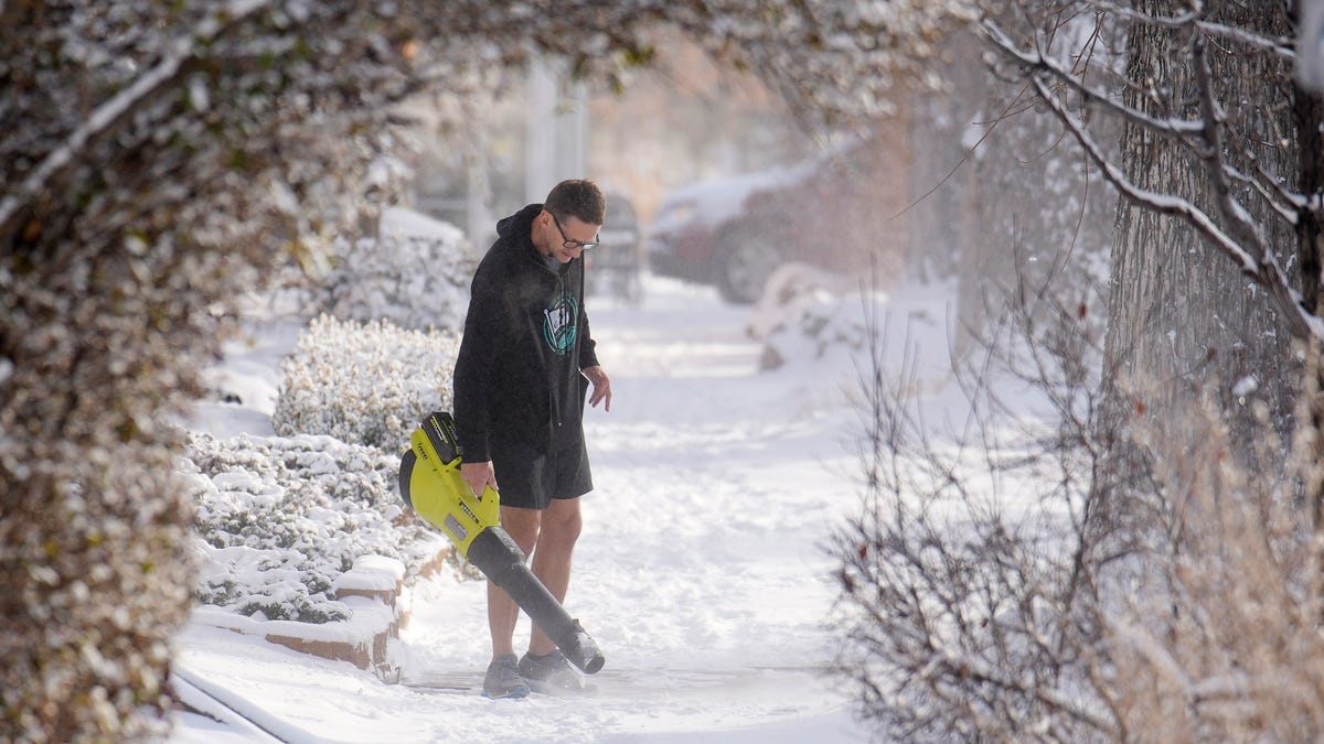
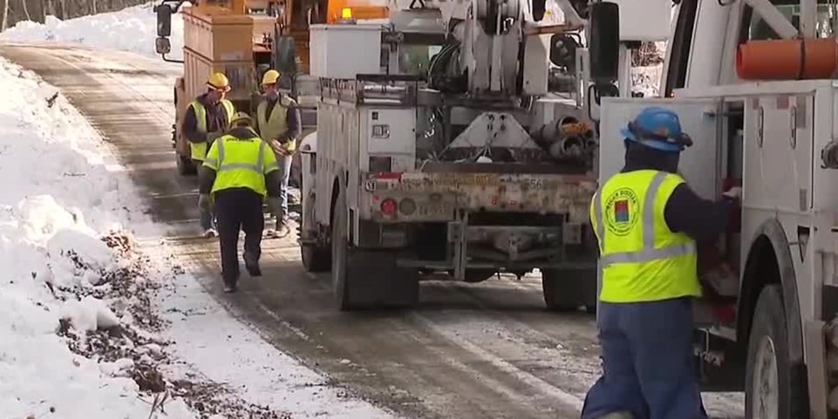
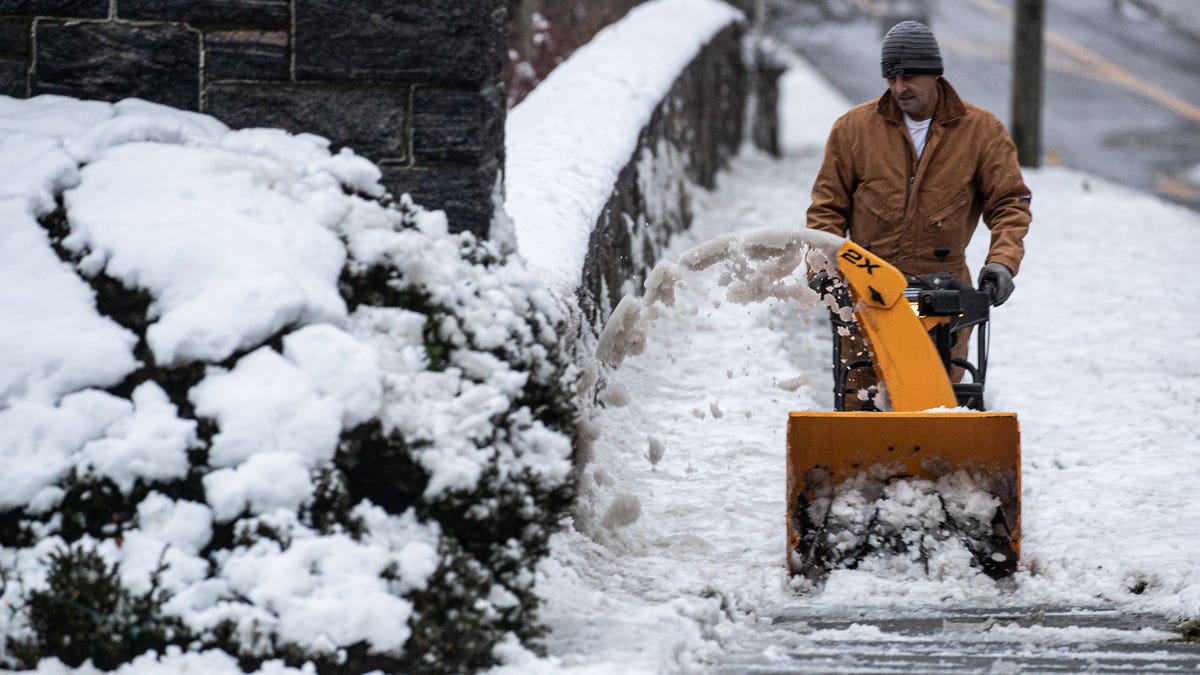
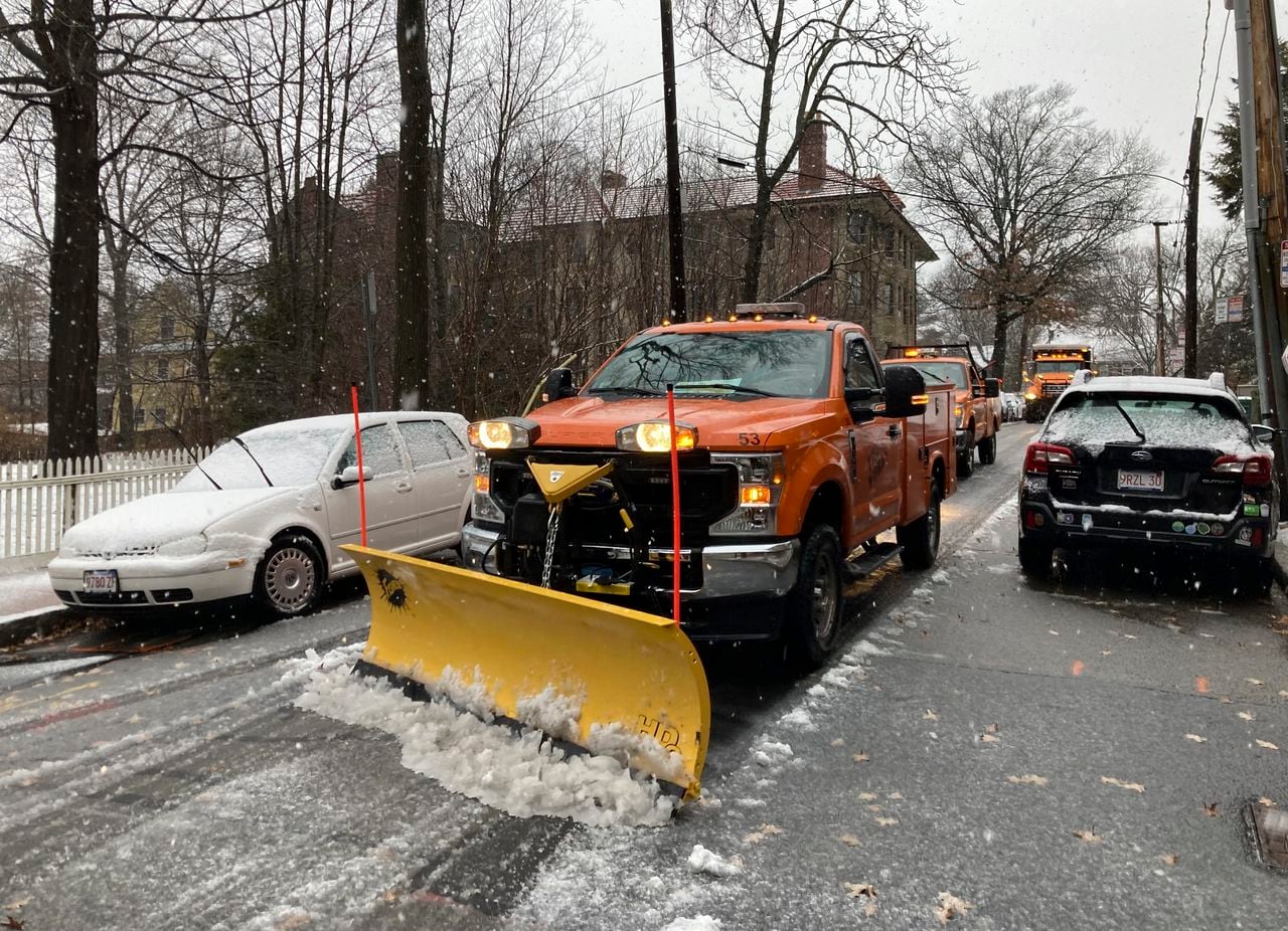
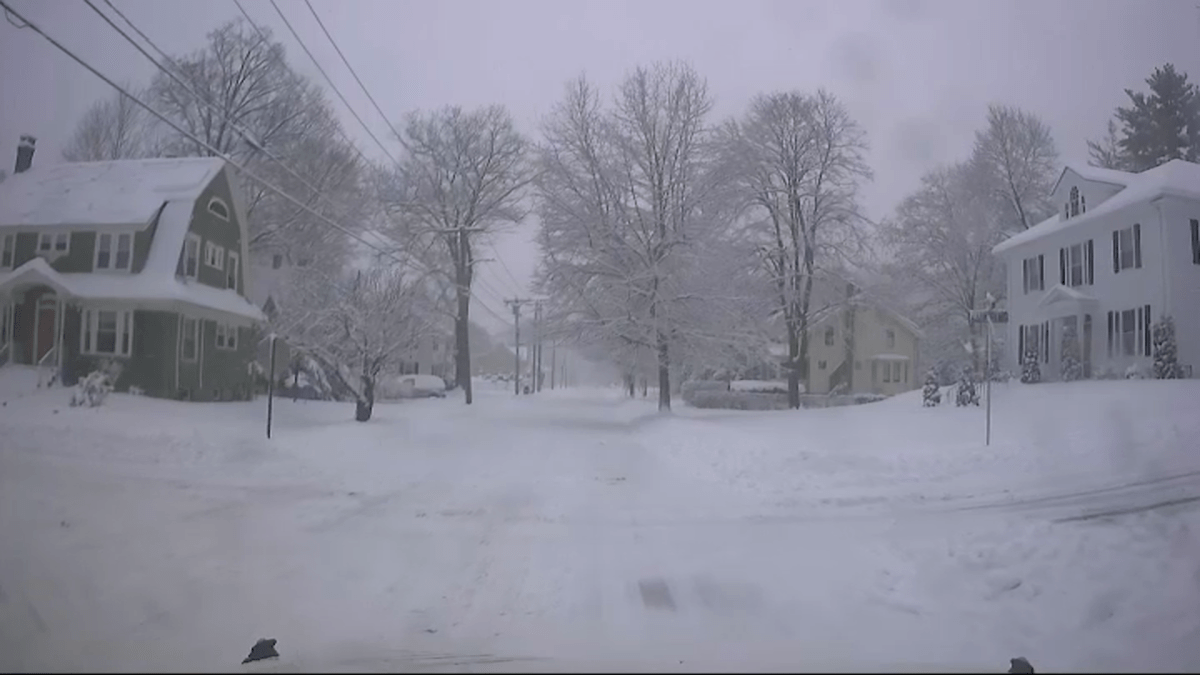
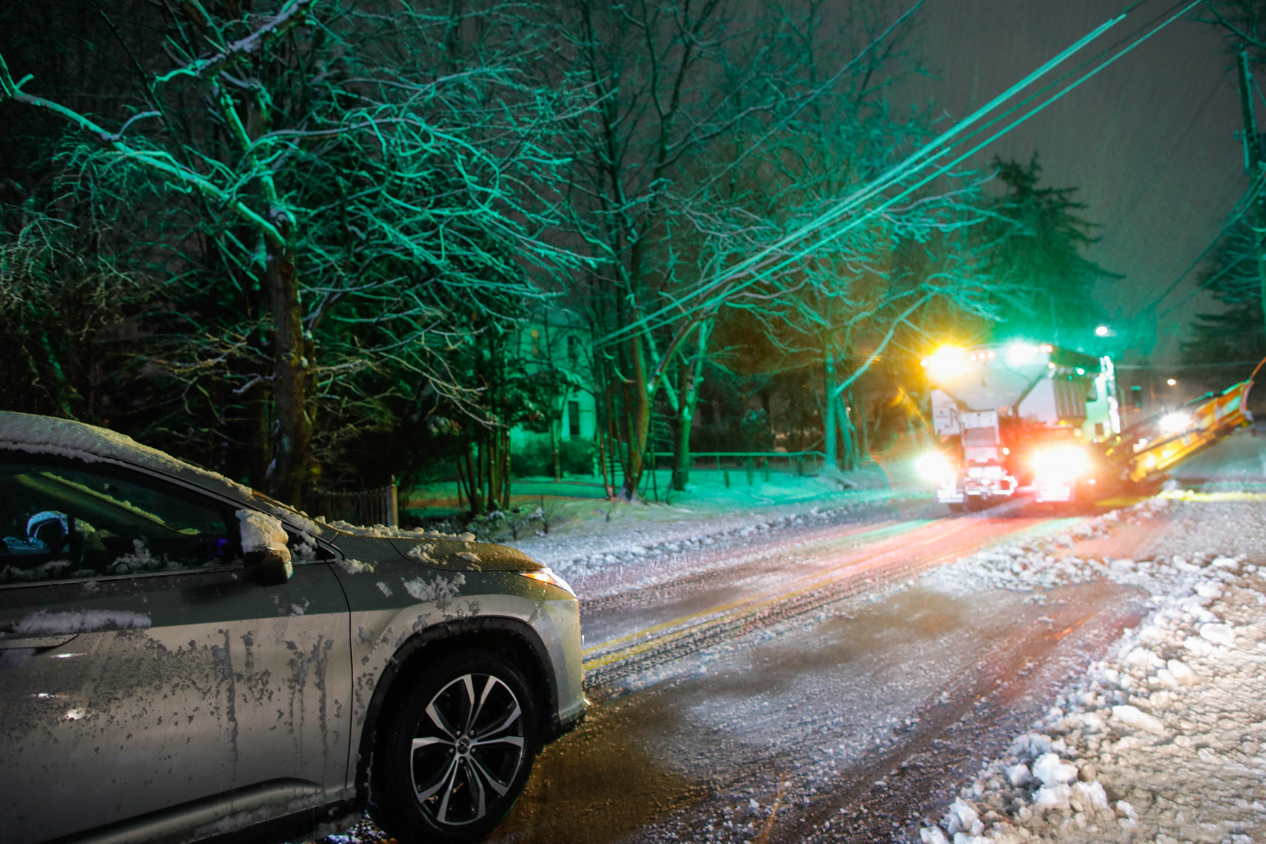
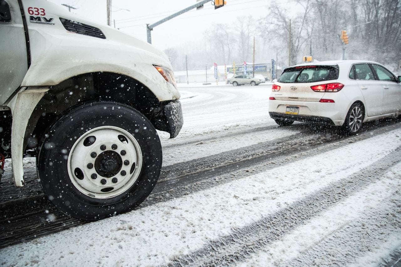
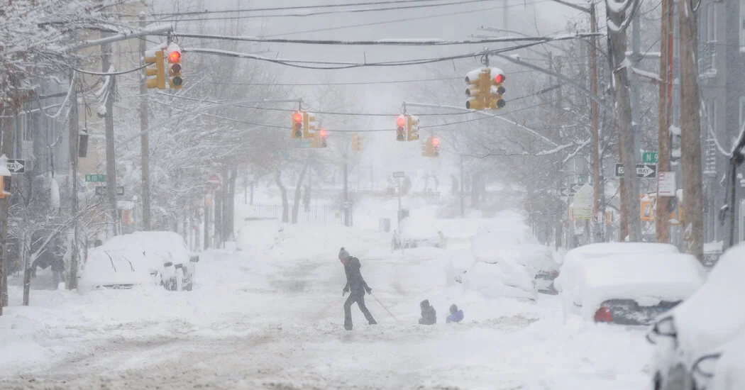
A historic bomb cyclone blankets the Northeast with record snowfall—from Rhode Island’s three-plus feet to about 20 inches in New York City—causing widespread power outages, canceling thousands of flights and dimming travel across the region. Massachusetts reports hundreds of stranded vehicles, Cape Cod outages, and travel bans; New York City enacts homelessness outreach amid freezing conditions; cities mobilize extensive snow removal and shelters, with restoration expected to take days as crews work around the clock and Boston stores excess snow in ‘snow farms.’