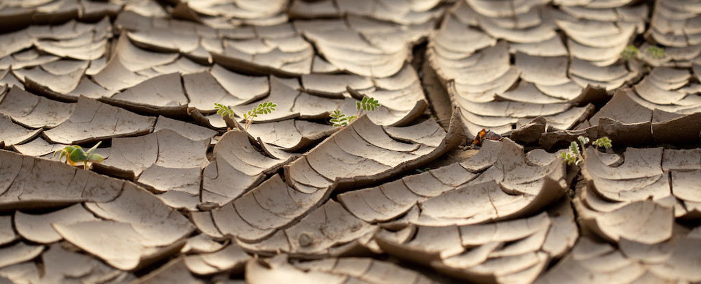
Scientists have discovered that South Africa's land is rising up to 2 millimeters per year, primarily due to drought-induced water loss, challenging previous mantle flow explanations. This finding, supported by GNSS and satellite data, highlights the impact of climate change on Earth's crust and offers a potential new method for monitoring water scarcity.,
NASA's Jet Propulsion Laboratory is testing a new system called GUARDIAN that uses data from GPS and other wayfinding satellites to detect tsunamis by analyzing the low-frequency sound and gravity waves created by the displacement of air above the ocean's surface. The system can produce a snapshot of a tsunami's rumble reaching the ionosphere within 10 minutes and could potentially provide up to an hour of warning. GUARDIAN is currently focused on the Pacific Ocean's Ring of Fire, where 78% of confirmed tsunamis between 1900 and 2015 occurred. The system aims to complement existing ground- and ocean-based instruments for faster tsunami detection.