Unveiling Yellowstone's Hidden Active Faults with Laser Scans
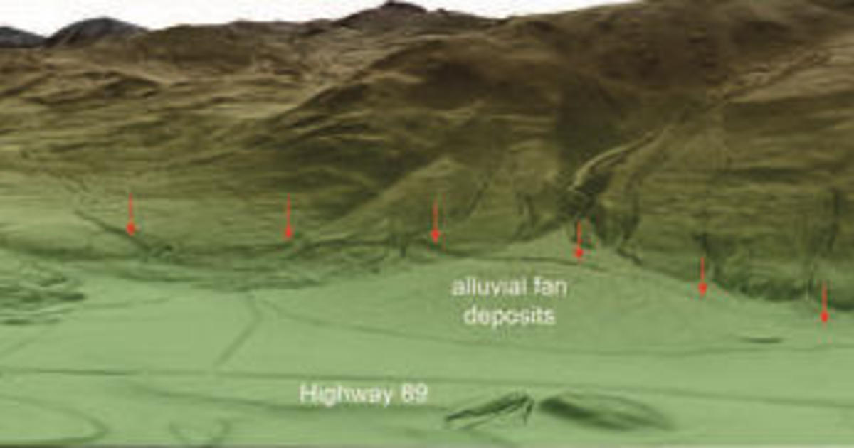
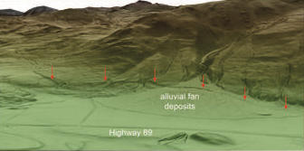
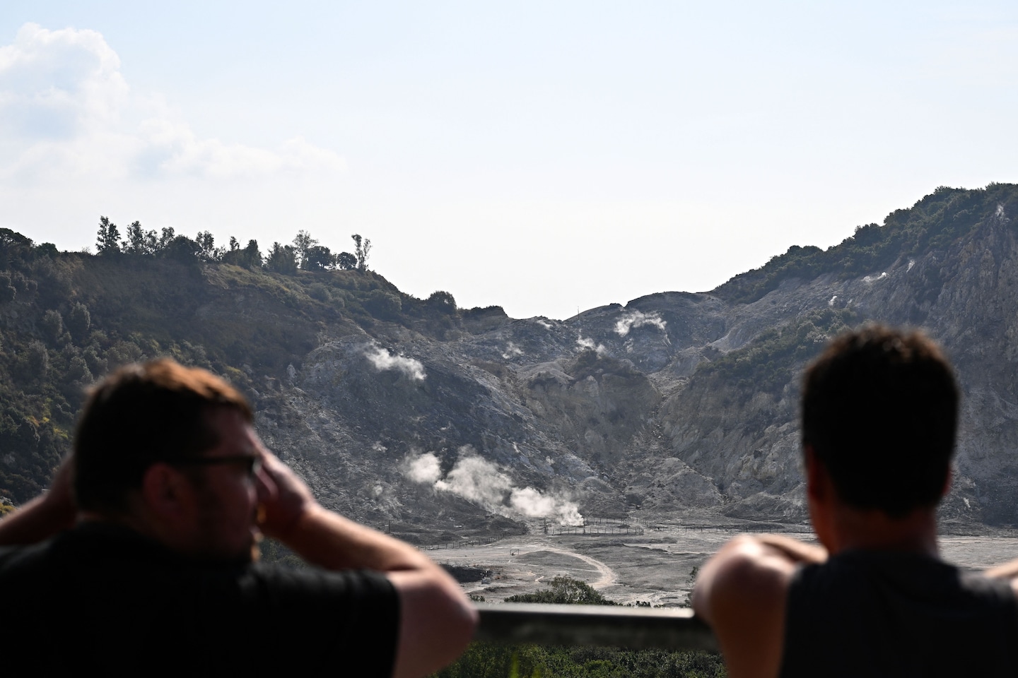
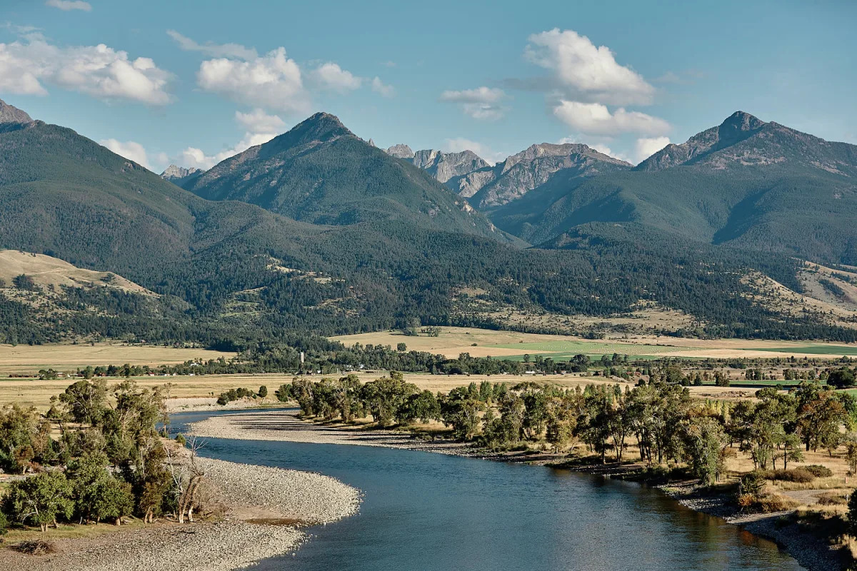
Lidar technology has revealed a network of active faults in the northern region of Yellowstone National Park, posing earthquake threats to nearby communities. Lidar, a remote sensing technique, uses laser sensors to detect concealed features on the ground. The surveys conducted in 2020 uncovered fault scarps and breaks in the ground, indicating past earthquakes of magnitude-6.5 or greater. The data will help geologists analyze the faults and assess future risks. Lidar technology also offers insights into the link between seismic events, geothermal activity, and volcanic activity in Yellowstone.