"Google Maps introduces 3D Immersive View for Routes"
Originally Published 2 years ago — by TechCrunch
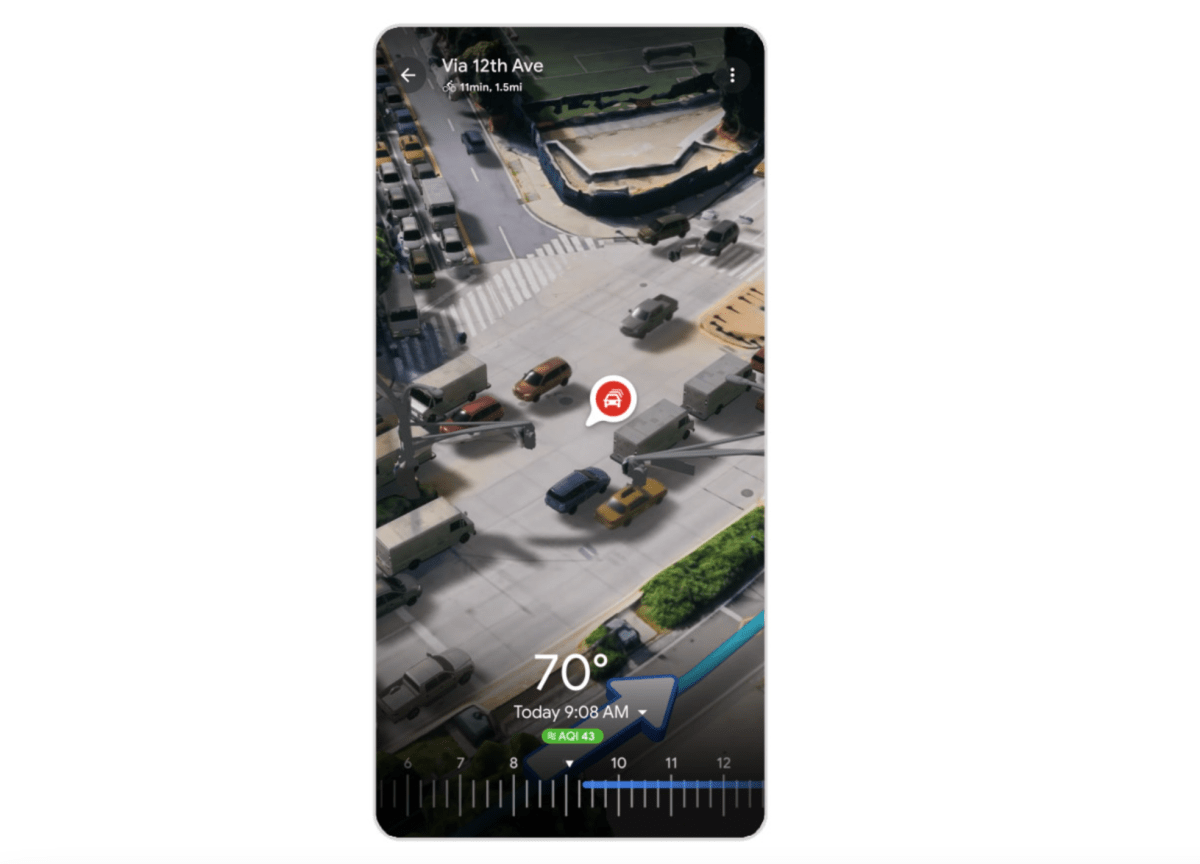
Google Maps is introducing a new feature called "Immersive View for Routes" in select cities, which brings all the necessary information about a route into one place, including traffic simulations, bike lanes, complex intersections, parking, and more. The feature will roll out on both Android and iOS in 15 cities, and it uses computer vision and AI to fuse billions of Street View and aerial images together to create a digital model of the world. Google is also launching an Aerial View API for developers and an experimental release of Photorealistic 3D titles for developers.