Unraveling Morocco's 'Blind Earthquake': Satellite Data, Aid Bafflement, and Risk Reduction
TL;DR Summary
Satellite data collected from 430 miles above Earth is providing scientists with crucial information about the recent earthquake in Morocco. The data, obtained through a technique called InSAR, reveals that the earthquake involved both horizontal and upward movement of the land. Analysis suggests that an ancient fault called the Tizi n’Test fault may have been responsible for the quake, despite being inactive in recent history. These "blind earthquakes" are challenging to study as they do not crack through to the surface. The findings contribute to a better understanding of the event and could help assess future risks.
- Satellite Data Yields Clues to Morocco's 'Blind Earthquake' The New York Times
- Morocco's reluctance to accept quake aid baffles foreign governments The Washington Post
- Morocco earthquake updates: Over 2,600 killed in rare, powerful quake 6abc Philadelphia
- Here’s how to help earthquake-hit Morocco reduce the risk of disease Al Jazeera English
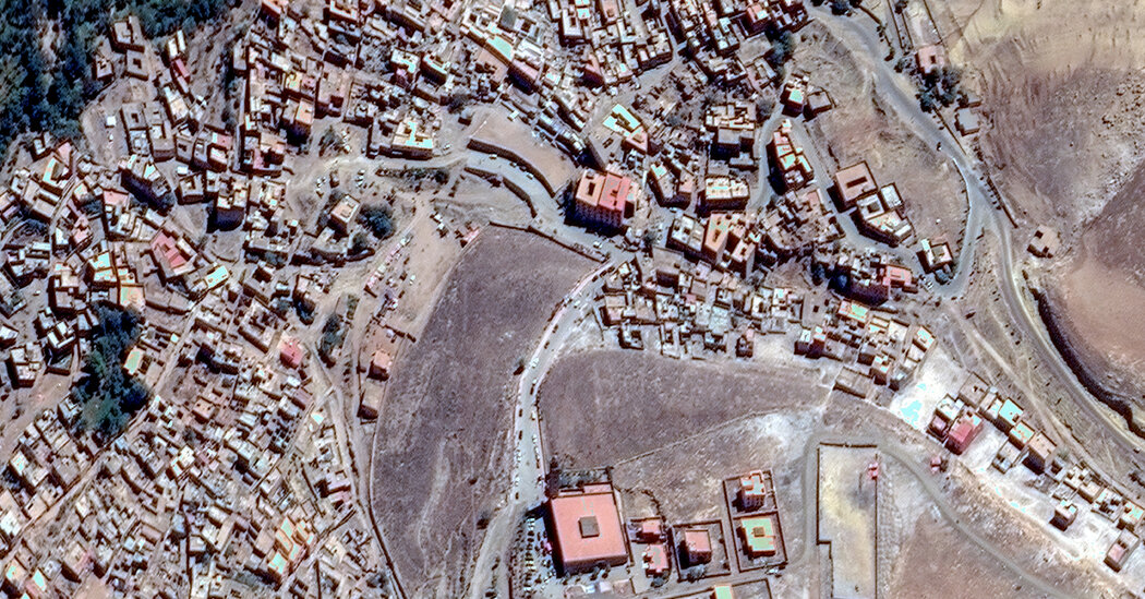
- Maps and photos show the impact of the Morocco earthquake CNN
Reading Insights
Total Reads
0
Unique Readers
2
Time Saved
2 min
vs 3 min read
Condensed
83%
586 → 97 words
Want the full story? Read the original article
Read on The New York Times