Winter Storm Watch: Rain, Snow, and Colder Temperatures Expected in the Pacific Northwest
TL;DR Summary
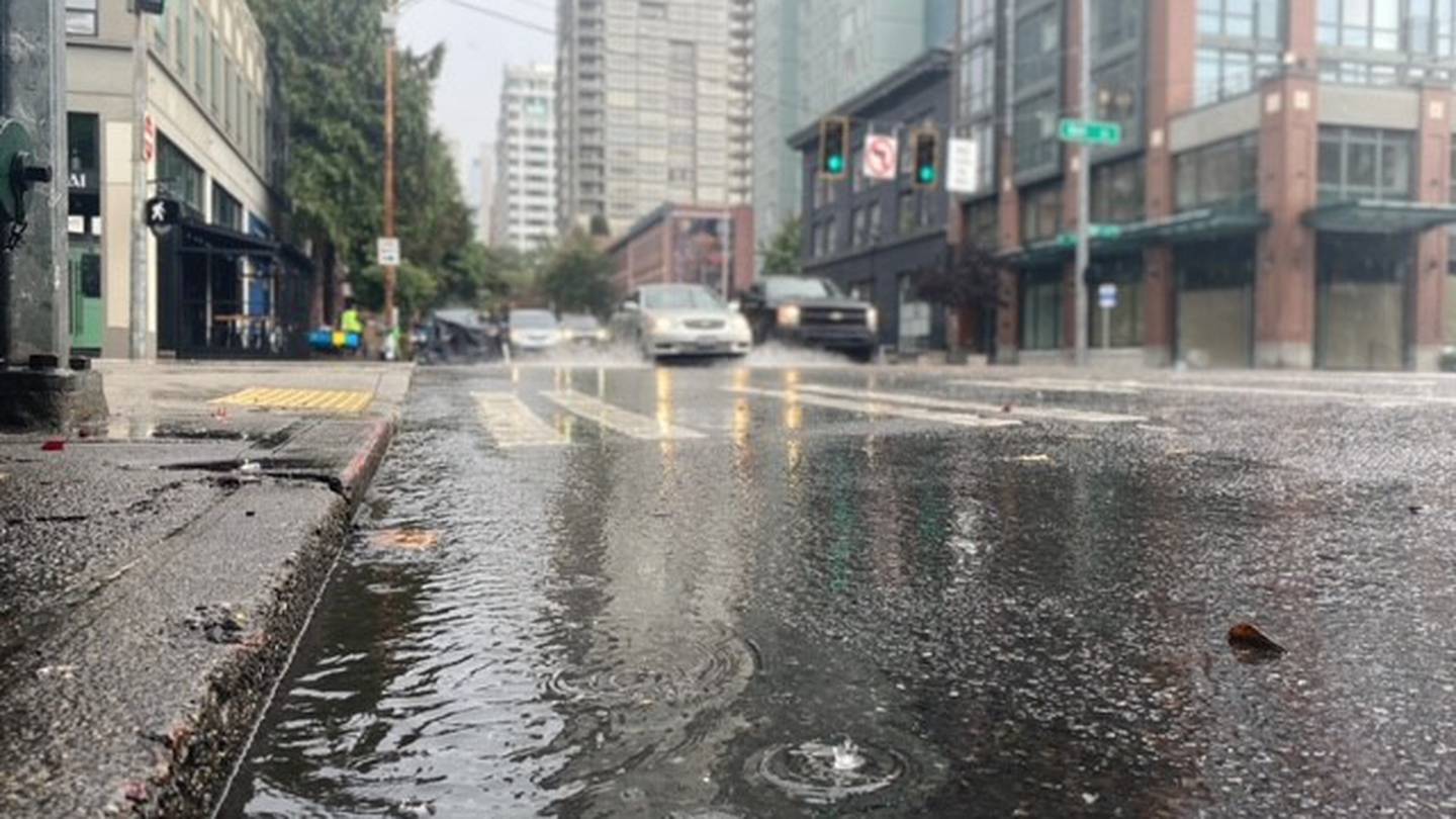
Rain showers will taper off in Western Washington, with mostly cloudy skies and temperatures in the upper 50s to lower 60s. A convergence zone may develop on Monday night, bringing showers and isolated heavier rain. Widespread precipitation could bring 0.50-0.75" of rain across Puget Sound lowlands through Tuesday. Snow levels will drop between 2,000-4,000', with the possibility of up to 12" of snow for elevations above 3,000' and 1-6" below 3,000'. A Winter Storm Watch is in effect for mountain passes and areas east of the north and central Cascades. Widespread lowland rain and mountain snow are expected through at least Thursday.
- Rain on the way plus a Winter Storm Watch warns of significant mountain snow KIRO Seattle
- Winter Storm Watch issued due to expected heavy snow expected in eastern Whatcom County Whatcom News
- Colder temperatures and low snow levels coming this week to the Pacific Northwest KATU
- First mountain snowfall possible in Whatcom County as cooler weather lies ahead Bellingham Herald
- Sharply colder weather later this week; Rain and snow ahead KELOLAND.com
Reading Insights
Total Reads
0
Unique Readers
1
Time Saved
0 min
vs 1 min read
Condensed
45%
186 → 102 words
Want the full story? Read the original article
Read on KIRO Seattle