Tag

Snowaccumulation

All articles tagged with #snowaccumulation

"Maine Faces Travel Challenges as Snowstorms Pile Up and Disrupt Roadways"

Originally Published 2 years ago — by WMTW Portland

Featured image for "Maine Faces Travel Challenges as Snowstorms Pile Up and Disrupt Roadways"
Source: WMTW Portland

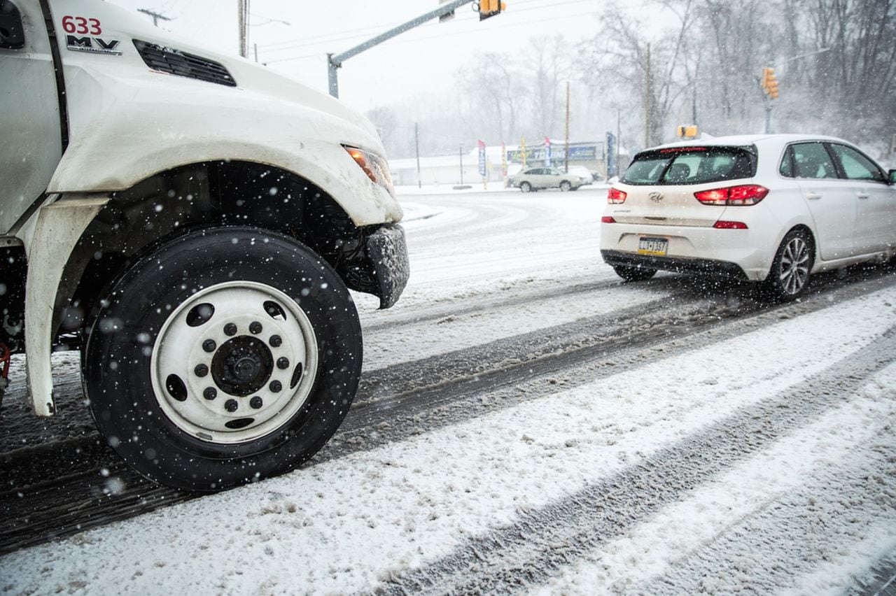
Maine is experiencing significant snowfall, leading to challenging travel conditions across the state. Coastal areas are facing low visibility due to winds up to 20 mph, and heavy snowfall is expected, with 12 to 18 inches in areas from Kennebunk to New Hampshire, 8 to 12 inches from northern York County through the midcoast including Portland, and 2 to 8 inches in the mountains. Residents are advised to be cautious if traveling.

"New Jersey Braces for Up to 12 Inches of Snow Amid Warnings and Preparations"

Originally Published 2 years ago — by NJ.com

Featured image for "New Jersey Braces for Up to 12 Inches of Snow Amid Warnings and Preparations"
Source: NJ.com

Northern New Jersey is experiencing significant snowfall, with totals reaching up to 10.5 inches in some towns as a winter coastal storm continues to impact the area. The heavy snowfall, accompanied by strong wind gusts and creating hazardous road conditions, has led to over 6,300 power outages across the state. The National Weather Service reports snow falling at a rate of 1 to 2 inches per hour in some areas, indicating that this could be the biggest snowstorm New Jersey has seen in over a year.

"Impending Snow Showers Escalate to Major Storm Next Week"

Originally Published 2 years ago — by KCCI Des Moines

Featured image for "Impending Snow Showers Escalate to Major Storm Next Week"
Source: KCCI Des Moines

Iowa is bracing for a series of snow events, with light snowfall expected overnight into Sunday, followed by a more significant system early next week. A Winter Storm Watch has been issued for parts of western and southern Iowa, with snow accumulations of 4-6 inches expected in the south and 2-4 inches in the Des Moines area. The snow, beginning as a rain/snow mix on Monday afternoon, will transition to snow by evening and continue into Tuesday morning. This could lead to slippery road conditions and strong winds with gusts up to 40 mph as the system moves out. Further snow chances are forecasted for late Wednesday into Thursday and again next weekend, with a notable drop in temperatures by the end of the week.

"Winter Storm Alert: Kansas City Braces for Snow, Impactful Weather Across MO Ozarks"

Originally Published 2 years ago — by KSHB 41 Kansas City News

Featured image for "Winter Storm Alert: Kansas City Braces for Snow, Impactful Weather Across MO Ozarks"
Source: KSHB 41 Kansas City News

The National Weather Service has issued a winter storm watch for the Kansas City area from Monday morning through Tuesday afternoon, with heavy snow of 4 to 6 inches and wind gusts up to 45 mph expected. The storm may significantly reduce visibility and impact travel during commutes.

"New Mexico Braces for Successive Winter Storms Bringing Snow and Travel Disruptions"

Originally Published 2 years ago — by KOAT New Mexico

Featured image for "New Mexico Braces for Successive Winter Storms Bringing Snow and Travel Disruptions"
Source: KOAT New Mexico

New Mexico is bracing for a winter storm with warnings and watches issued across the state. The northwest region is under a winter storm warning, expecting 2 to 12 inches of snow depending on elevation, with winds up to 40 mph. The northeast has a winter storm watch, with 1 to 6 inches of snow forecasted and potential blizzard-like conditions. Travel could be hazardous with snow-packed roads and whiteout conditions. As the storm moves out, dangerously cold wind chills are anticipated. Residents are advised to stay informed through local weather apps and prepare for possible commuting and power disruptions.

"Omaha Braces for Snowy Start to the Week with Intense Cold to Follow"

Originally Published 2 years ago — by KETV Omaha

Featured image for "Omaha Braces for Snowy Start to the Week with Intense Cold to Follow"
Source: KETV Omaha

The Omaha area is under a winter storm watch from Sunday night to Tuesday morning, with expectations of 3 to 6 inches of heavy, wet snow in eastern Nebraska and 1 to 3 inches in western Iowa. The impending storm is likely to cause significant travel disruptions, including along Interstates 80 and 29, with potential for closures and infrastructure disruptions. Residents are advised to prepare for the storm and stay informed on weather updates.

"Comprehensive Update on Pennsylvania's Impending Winter Storm and Snowfall Predictions"

Originally Published 2 years ago — by WGAL Susquehanna Valley Pa.

Featured image for "Comprehensive Update on Pennsylvania's Impending Winter Storm and Snowfall Predictions"
Source: WGAL Susquehanna Valley Pa.

South-central Pennsylvania is bracing for a winter storm today with an advisory in effect from the morning. Snow will develop between 10 AM and 12 PM, with potential snowfall rates of an inch per hour, leading to reduced visibility and deteriorating road conditions. The snow will be moderate to heavy northwest of I-81, with a mix of snow and rain, especially southeast of I-81. Precipitation is expected to taper off between 6 and 10 PM. Accumulations of 5 to 8 inches are expected in the majority of the Susquehanna Valley, with 2 to 5 inches in southern areas, potentially reduced by rain. The Pennsylvania Farm Show is advised against today due to weather, and the forecast for the following days includes improving conditions.

"St. Louis Braces for More Snow as Winter Storms Continue to Sweep Through the Region"

Originally Published 2 years ago — by KTVI Fox 2 St. Louis

Featured image for "St. Louis Braces for More Snow as Winter Storms Continue to Sweep Through the Region"
Source: KTVI Fox 2 St. Louis

St. Louis has experienced a snowfall of up to 2.5 inches, with the highest amounts in St. Louis County. Following the snow, chilly temperatures and patchy fog are expected, with no significant additional accumulations. The weather will remain cold with a chance of rain and a rain/snow mix starting Monday afternoon, potentially transitioning to significant snowfall Tuesday afternoon and evening. St. Louis has a 30% chance of receiving over 5 inches of snow, but the storm's path is still uncertain, which could affect snowfall predictions and travel conditions due to gusty winds and blowing snow.

"Snow Forecast: Winter Advisory and Accumulation Predictions for the Upcoming Week"

Originally Published 2 years ago — by KY3

Featured image for "Snow Forecast: Winter Advisory and Accumulation Predictions for the Upcoming Week"
Source: KY3

The National Weather Service has issued a Winter Weather Advisory for several counties in the Ozarks, effective until 8 a.m. Saturday. The advisory warns of potential snow accumulations up to one inch and a light glaze of ice, which could make untreated roads hazardous. Residents are advised to stay informed via the KY3 First Alert Weather app and exercise caution while traveling.

"Snowfall Predictions: From Cincinnati's Timeline to Minnesota's Weekend Forecast"

Originally Published 2 years ago — by RochesterFirst

Featured image for "Snowfall Predictions: From Cincinnati's Timeline to Minnesota's Weekend Forecast"
Source: RochesterFirst

Western New York (WNY) is set to receive a range of snow accumulations this weekend, with the heaviest snowfall expected southeast of Rochester, potentially reaching several inches to half a foot. The snow will begin late Saturday afternoon and continue into the night, with additional light showers on Sunday. While not a major snowstorm, it will be enough for some areas to require shoveling or plowing, and for children to enjoy sledding. The exact snowfall amounts may vary depending on the performance of the snow system and possible lake enhancement.

"Omaha and Lincoln Brace for Snowfall and Intense Cold Next Week"

Originally Published 2 years ago — by WOWT

Featured image for "Omaha and Lincoln Brace for Snowfall and Intense Cold Next Week"
Source: WOWT

Omaha, Nebraska, is bracing for significant snowfall and intense cold as Monday and Tuesday have been designated as 6 First Alert Weather Days. The snow is expected to start Monday morning, with the heaviest snowfall in the afternoon and potential impacts on the Tuesday morning commute. Accumulations of at least 3 inches are likely, with some areas possibly exceeding 6 inches. Gusty winds on Tuesday will blow snow around and bring in colder air, with temperatures dropping throughout the day. The forecast indicates more snow and cold later in the week, with Friday also being a 6 First Alert Weather Day, leading into a weekend with highs in the teens and overnight lows below zero.

"Northeastern US Braces for Major Snowfall and Power Outages as New Storm Approaches"

Originally Published 2 years ago — by NBC10 Boston

Featured image for "Northeastern US Braces for Major Snowfall and Power Outages as New Storm Approaches"
Source: NBC10 Boston

Boston is bracing for a significant winter storm this weekend, with snowfall totals ranging from an inch or two in the city to around 6 inches inland. The storm will bring wet snow, making snow removal challenging, and will affect travel with reduced visibility and slippery roads. Coastal areas may experience gusty winds. After a brief respite on Monday, another multifaceted storm is expected Tuesday, potentially bringing snow, rain, and strong winds.

"Omaha and Lincoln Brace for Multiple Rounds of Snow, Travel Disruptions Ahead"

Originally Published 2 years ago — by KETV Omaha

Featured image for "Omaha and Lincoln Brace for Multiple Rounds of Snow, Travel Disruptions Ahead"
Source: KETV Omaha

The Omaha area is bracing for a winter weather event that is expected to bring 3 to 6 inches of snow from late Sunday night through Tuesday morning. The snowfall is likely to cause significant travel impacts, including disruptions and potential closures. Residents are advised to stay informed on the latest forecasts and prepare for the upcoming severe weather conditions.

"Massachusetts and New Hampshire Brace for Weekend Snowstorm with Potential Foot of Snow"

Originally Published 2 years ago — by NBC10 Boston

Featured image for "Massachusetts and New Hampshire Brace for Weekend Snowstorm with Potential Foot of Snow"
Source: NBC10 Boston

Massachusetts is bracing for a winter storm this weekend, with snow starting Saturday night and intensifying on Sunday. Accumulations will be light initially but will increase throughout Sunday afternoon, with the potential for snowfall rates of up to an inch per hour in some areas. Strong winds may lead to power outages, especially on the Cape and Islands. The storm is expected to wind down by Sunday night, followed by very cold temperatures. Another significant storm with rain and strong winds is forecasted for Wednesday, and yet another storm may hit by the end of next week. Residents can track the storm using the NBC10 Boston app.

"Predicting Snowfall: South-Central Pennsylvania Braces for Winter Storm"

Originally Published 2 years ago — by WGAL Susquehanna Valley Pa.

Featured image for "Predicting Snowfall: South-Central Pennsylvania Braces for Winter Storm"
Source: WGAL Susquehanna Valley Pa.

South-central Pennsylvania is bracing for a winter storm set to begin Saturday morning, with snowfall expected to start in the southernmost counties and spread across the area by lunchtime. The storm may bring a mix of snow, sleet, and freezing rain, particularly in York and Lancaster counties, before changing to rain in southeastern counties. Accumulations of 2 to 5 inches are expected for most of the area, with 5 to 8 inches possible north and west of Harrisburg. Winter storm watches are in effect, and residents are advised to complete errands early and exercise caution while traveling. The storm is predicted to conclude by Sunday evening, followed by a brief break before another system arrives midweek.