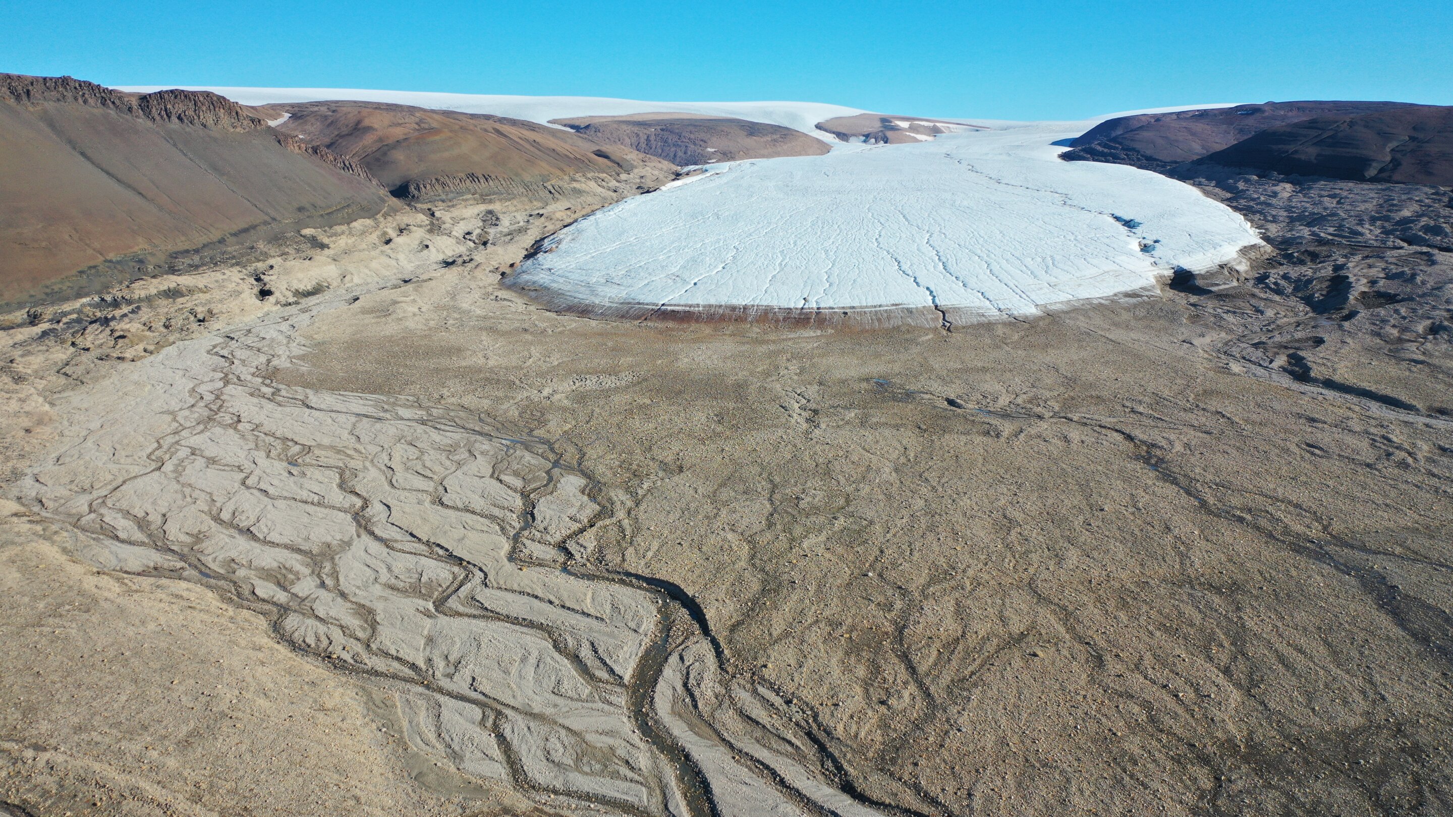
"Greenland's Ice Sheet Melting, Giving Rise to Vegetation: Satellite Analysis"
A major satellite analysis reveals that approximately 11,000 square miles of Greenland's ice sheet and glaciers have melted over the last three decades, being replaced by vegetation, barren rock, and wetlands due to warmer air temperatures. The loss of ice triggers further warming, impacting land surface temperatures, greenhouse gas emissions, and the stability of the landscape. The study warns of more extreme temperatures in the future and highlights the significant impact on indigenous populations and global sea level rise.