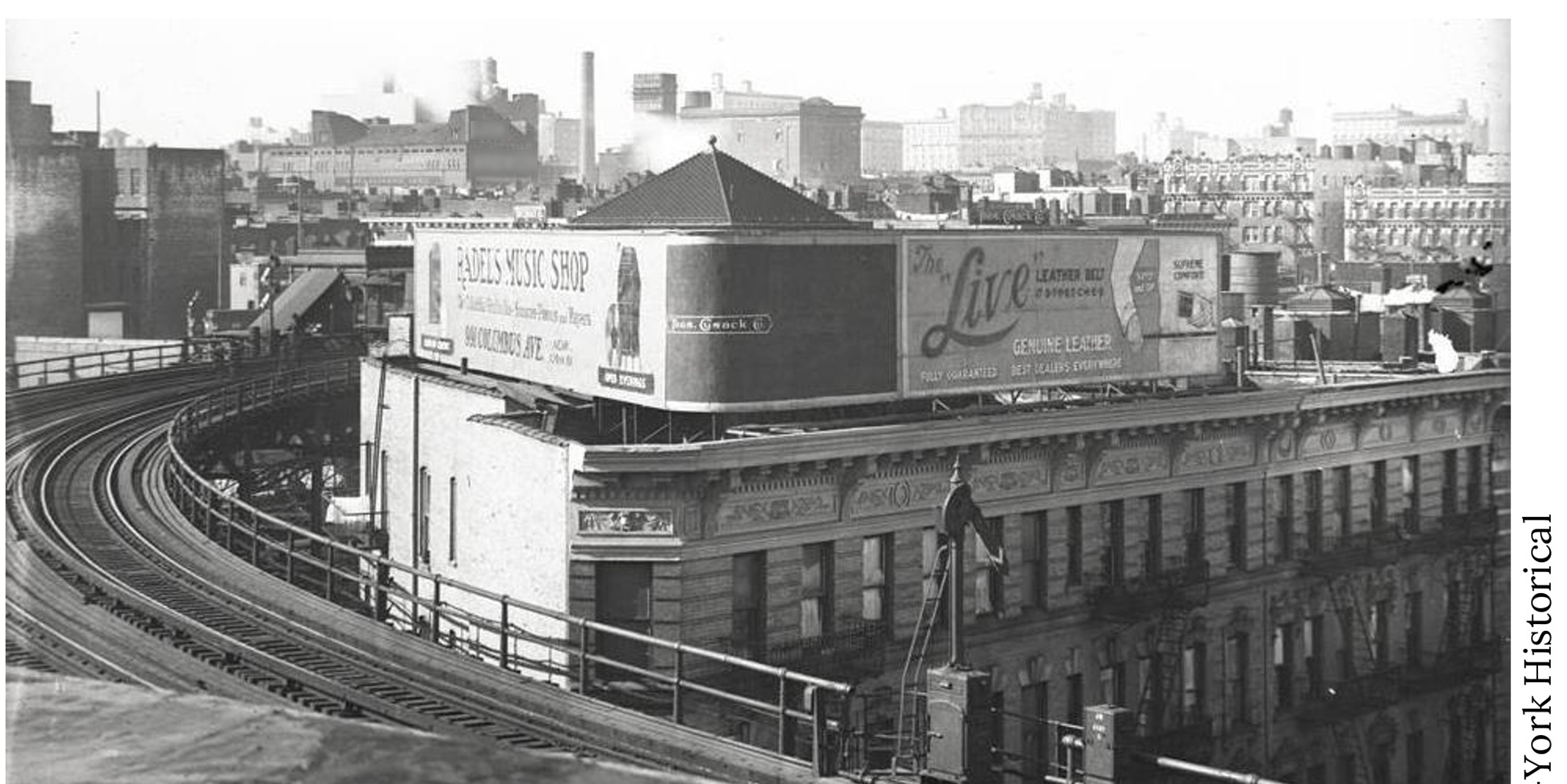
The article discusses a historical photo challenge focused on a rock outcrop on the Upper West Side, revealing its location, history of urban development, and the impact of geological features on city planning, along with a solution to a previous challenge and insights into the area's geological history.
Scientists used 1966 Navy aerial photos combined with modern satellite data to study the collapse of Antarctica's Wordie Ice Shelf, revealing that ocean water melting from below, rather than surface melt, primarily drives ice shelf disintegration, which has implications for future sea level rise predictions.
A collection of 23 fascinating and surprising images showcases a variety of intriguing subjects, from historical photos and scientific curiosities to everyday oddities and visual wonders, offering a fresh perspective on the world.