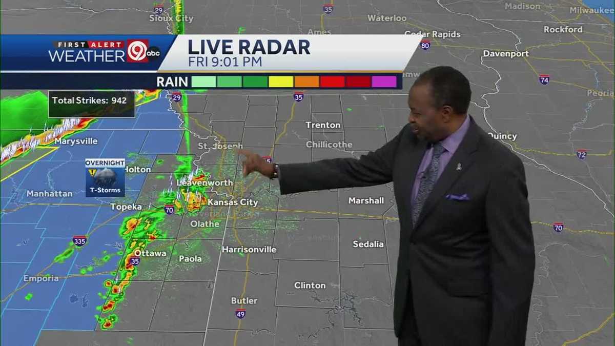
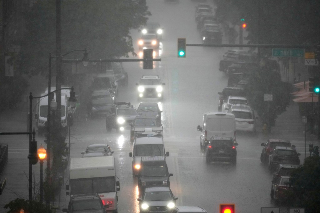
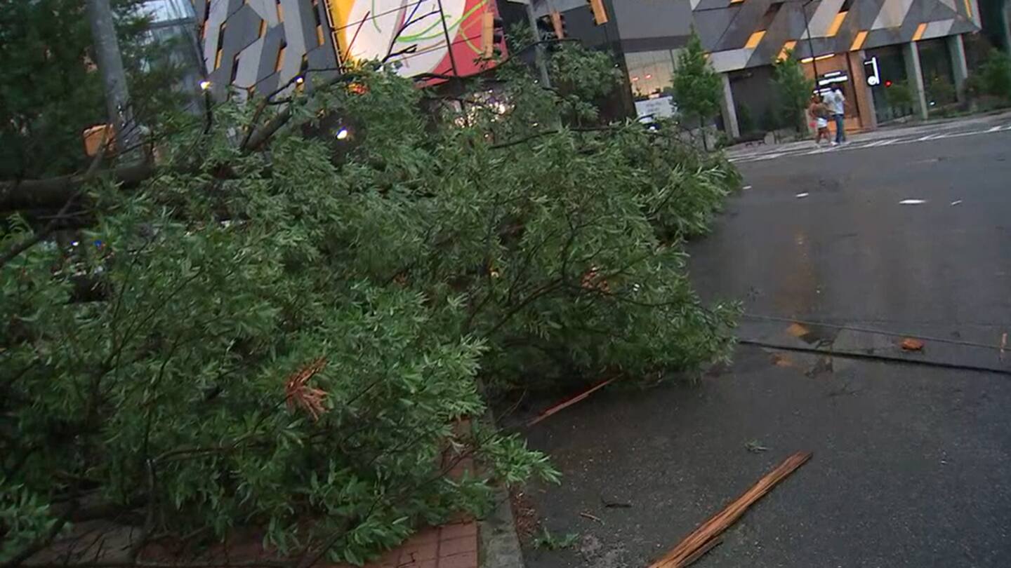
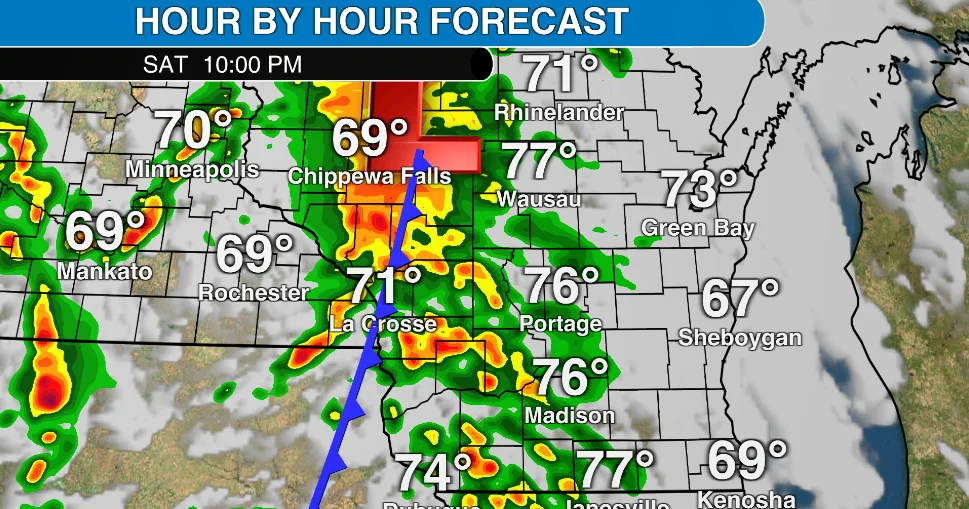
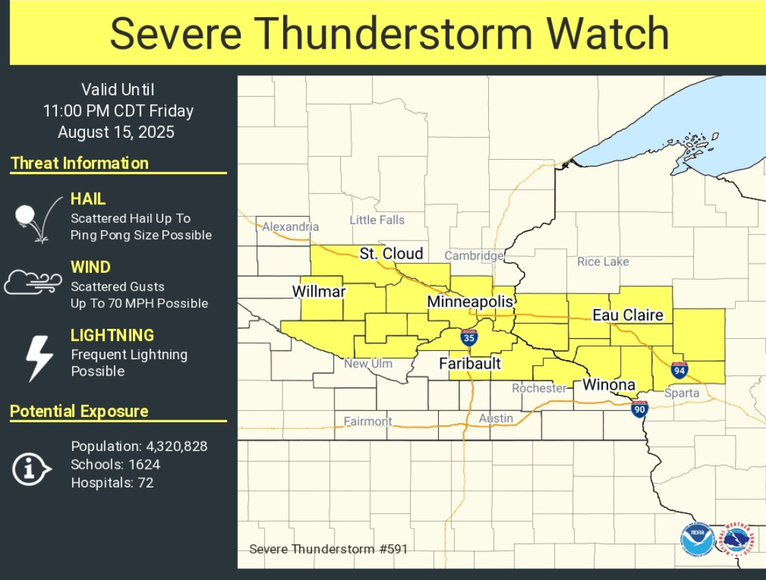
A severe thunderstorm watch is in effect until 11 p.m. for parts of Southern Minnesota and Western Wisconsin, with threats of damaging winds and large hail, alongside a flash flood warning for areas in the Twin Cities due to heavy rainfall and ongoing flash flooding.
The 13 Action News First Alert Weather team has issued a First Alert Weather Day for Wednesday afternoon and evening, as conditions are favorable for severe storms including damaging wind, large hail, torrential rain, frequent lightning, and possibly tornadoes. The severe threat covers the entire viewing area, with a higher chance of storms between 6:00 p.m. and 10:00 p.m. After 10pm, the severe threat is expected to decrease, but heavy rainfall that could cause flooding remains a risk.
Denver and the Front Range are bracing for one more day of potential severe thunderstorms, including golf-ball-sized hail, damaging wind, and tornadoes. The National Weather Service warns of the most intense risk between 3 p.m. and 6 p.m., with the potential for tornadoes mostly south and east of the city. There is also a risk of heavy rain causing flooding in already saturated areas. However, drier weather is expected to arrive on Sunday, with temperatures reaching the 80s and isolated showers bringing more sprinkles than heavy raindrops.
Severe storms hit north Georgia causing damage and power outages in several areas. Local authorities reported multiple trees and powerlines down in at least 11 areas throughout the evening and night. A Severe Thunderstorm Watch has been issued for several counties until 1 a.m. with isolated severe storms and damaging wind gusts possible. Over 66,000 people remain without power following a night of storms.
Central North Carolina is under a level two risk of severe thunderstorms on Monday, with a large portion ramping up to a level three risk. Damaging wind and hail are the top risks associated with these storms, with hail measuring 1.5-2 inches possible in areas north and west of the Triangle. Flash flooding and an isolated tornado are also possible, but less likely. The storms could last through the evening up to around midnight.
Severe storms are possible in Wisconsin on Saturday afternoon and night as a cold front moves over the state, with damaging wind and hail expected in some areas.
The First Alert Weather Team has issued a ‘ONE TO WATCH” for Sunday afternoon and evening, with a chance for strong and severe storms bringing damaging wind, hail, and heavy rain as the main threats.
The Washington D.C. area experienced a cool day with minimal humidity and a milky sky due to wildfire smoke. There is a chance of rain and scattered showers on Friday, with a risk of damaging wind or hail. Rain totals may vary from 0.10 to 0.25 inches to over an inch in some areas. The NWS Storm Prediction Center has placed the immediate area and points west under a Level 1 of 5 storm risk, while a Level 2 of 5 risk is in place starting near the bay.
Severe thunderstorms with strong winds and lightning hit the Philadelphia area and parts of Pennsylvania on Saturday afternoon and evening, with warnings issued for several counties. The main threats were damaging wind and hail, with a chance of isolated tornadoes. The storms began in Lancaster County and moved into the Philadelphia area, with a FIRST ALERT in effect until 10 p.m.
Kansas City is expected to experience rain and thunderstorms overnight with the potential for small hail and winds up to 35 miles per hour. Additional strong storms are possible on Saturday afternoon, especially in the eastern portion of the viewing area, with wind being the primary hazard. Cooler temperatures and more sunshine are expected on Sunday and Monday, but there are still chances for showers and thunderstorms next week.
A strong cold front is moving in on Wednesday, prompting showers and storms to develop in the afternoon, with the potential for some to be strong. The SPC has issued an Enhanced Risk for severe weather in Greater Cincinnati, with a tornado watch in effect until 5 p.m. Damaging wind is the primary threat, with a low-end tornado threat and the possibility of hail. After a straggler shower early on Thursday, quiet conditions take over with highs near 60 degrees on Thursday and Friday, then back to nearly 70 on Easter Sunday.