"From Record Warmth to Subzero Chills: Minnesota's Wild Weather Ride Ahead"
TL;DR Summary
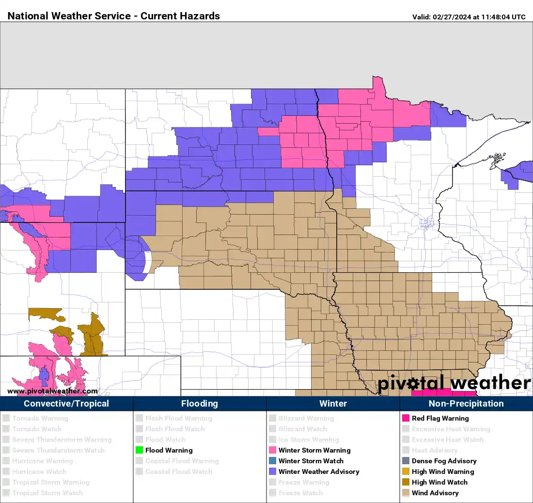
Minnesota is experiencing extreme weather changes, with heavy snow and plummeting temperatures expected Tuesday night, followed by record warmth over the weekend. Blizzard and winter storm warnings are in place for parts of the state, with snowfall accumulations ranging from a slushy coating in the south to several inches in the north. Temperatures will drop significantly, with frigid lows and subzero wind chills, before warming back up into the 30s, 40s, and potentially even low 50s, setting new record highs by the weekend.
- Wintry wallop Tuesday into Wednesday, then back to record warmth MPR News
- Ken Barlow says "buckle up" we are in for a wild weather ride KSTP
- Minnesota weather: ‘Big plunge’ Tuesday afternoon with quick snow burst; cold day Wednesday FOX 9 Minneapolis-St. Paul
- Snow, Then -20 Degree Wind Chills Overnight: MN Weather Forecast Patch
- After warmest February day on record, cold and snow on tap Tuesday in Twin Cities CBS Minnesota
Reading Insights
Total Reads
0
Unique Readers
1
Time Saved
1 min
vs 2 min read
Condensed
76%
340 → 83 words
Want the full story? Read the original article
Read on MPR News