"Blizzard Warning: Puget Sound and Northwest Bracing for Snow and Low Visibility"
TL;DR Summary
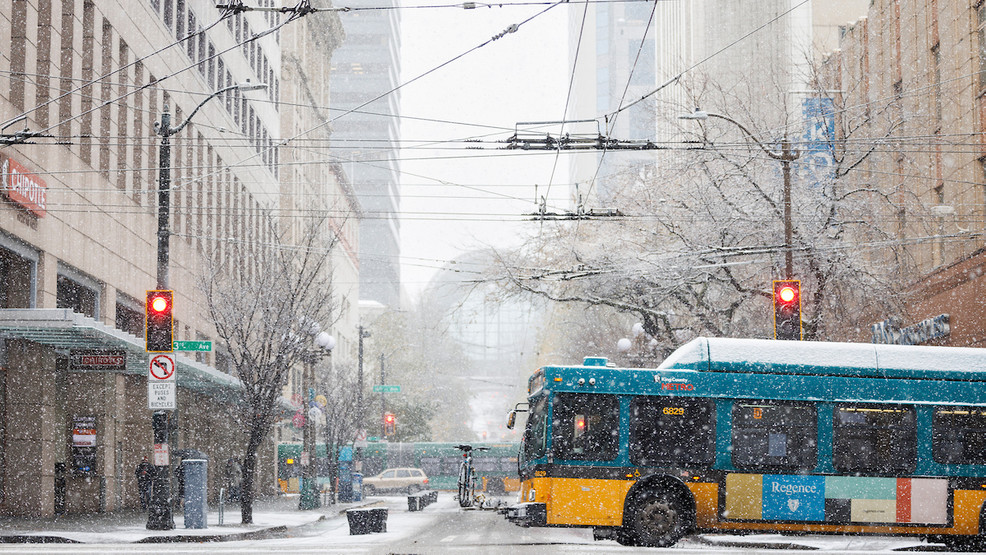
Lowland snow is possible for the Puget Sound area in the coming days following a winter storm, with a mix of rain and wet snow expected on Wednesday and the potential for scattered snow showers on Thursday and Friday. Cold air will move into the region, but the precipitation is forecasted to be hit-and-miss, making widespread snow unlikely. However, select sea-level locations may see one to four inches of snow by Friday, with the possibility of heavier snowfall in certain areas. Another round of precipitation is expected on Saturday, but its impact remains uncertain at this time.
- Lowland snow possible for Puget Sound in days following winter storm KOMO News
- Feet of snow, low visibility force mountain passes to shut down KING 5 Seattle
- New Winter Storm Set To Bring Snow To Northwest This Weekend The Weather Channel
- A blizzard is coming to WA's passes, mountains. See for yourself with these live streams The Columbian
- Mt. Hood Meadows, Timberline closed during blizzard warning, hoping to open Wednesday KPTV FOX 12 Oregon
Reading Insights
Total Reads
0
Unique Readers
4
Time Saved
2 min
vs 3 min read
Condensed
78%
437 → 97 words
Want the full story? Read the original article
Read on KOMO News