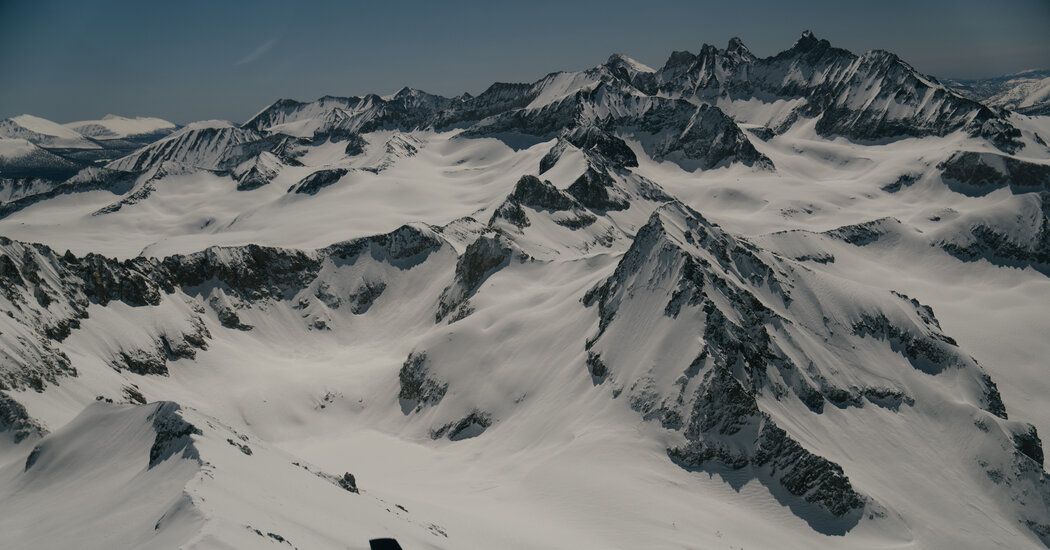
A new study confirms that human-caused climate change has led to significant declines in snowpack across the Northern Hemisphere, with at least 31 river basins experiencing clear decreases. Researchers found that when a region warms to an average temperature of 17 degrees Fahrenheit over the whole winter, it reaches a tipping point where snow starts to melt away quickly. This decline in snowpack has far-reaching consequences, including water shortages and impacts on industries like skiing.
A Pacific storm is expected to bring mild temperatures, partly cloudy skies, and spotty light rain showers along the west coast until Thursday. On Friday, the storm will move inland, bringing widespread rain to the region, with snow levels remaining above population centers. Colder air will arrive on Friday night, resulting in rain and mountain snow showers above 6000'. The storm is expected to clear the state by Sunday. Travel plans should be monitored due to the evolving forecast.
Heavy rainfall is expected in Northern California, particularly in the Sacramento area, beginning late Sunday and extending into the beginning of the week. The National Weather Service predicts between 2-3 inches of rainfall in Sacramento, Vacaville, and Vallejo, while Auburn, Sonora, and Chico may see 3-4 inches. Stockton and Modesto are expected to receive 1.5-2 inches. The rain could lead to ponding on roadways, so drivers are advised to exercise caution. Additionally, snow levels are expected to be highest near Lassen Park and the Sierra south of Highway 50, with up to 24 inches of snowfall predicted in certain areas. Travel delays and slick roads are anticipated, and chain controls may be in effect.