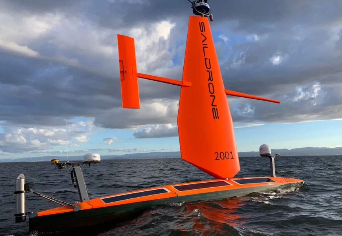
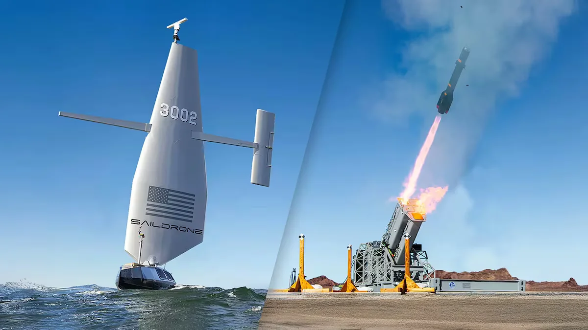
A saildrone, an unmanned research vehicle, captured dramatic footage of Hurricane Idalia in the Gulf of Mexico, offering valuable insights into the environment rarely seen by humans. The footage could help improve hurricane forecasting, particularly in predicting rapid intensification. Saildrone is working with the National Oceanic and Atmospheric Administration (NOAA) to study what happens at the surface where wind meets water. NOAA is currently using 12 unmanned saildrones strategically placed in areas where hurricanes frequently occur. The saildrones provide measurements that other tools cannot, enhancing our understanding of hurricanes and their behavior.
Saildrone, a California-based technology startup, has completed a historic, crewless mission to map over 17,000 square miles of the previously unknown ocean floor around Alaska’s Aleutian Islands and off the California coast. The mission was undertaken by the Saildrone Surveyor, which took 52 days to map the area around the Aleutian Islands before embarking upon its second mission off the California coast. The missions, which mapped “high priority” areas across “key regions” in high resolution, yielded unexpected discoveries, such as “a previously unknown seamount standing approximately 1,000 meters [3,200 feet] high.”