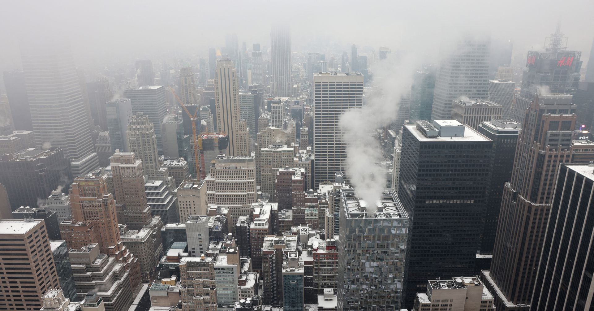
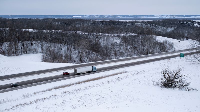
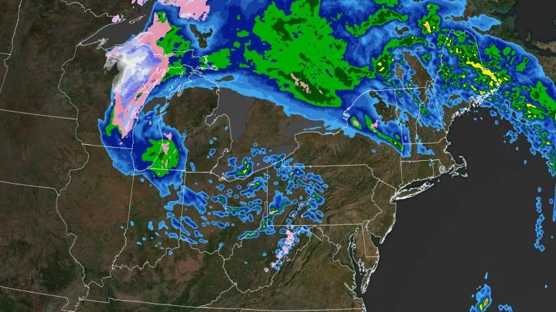
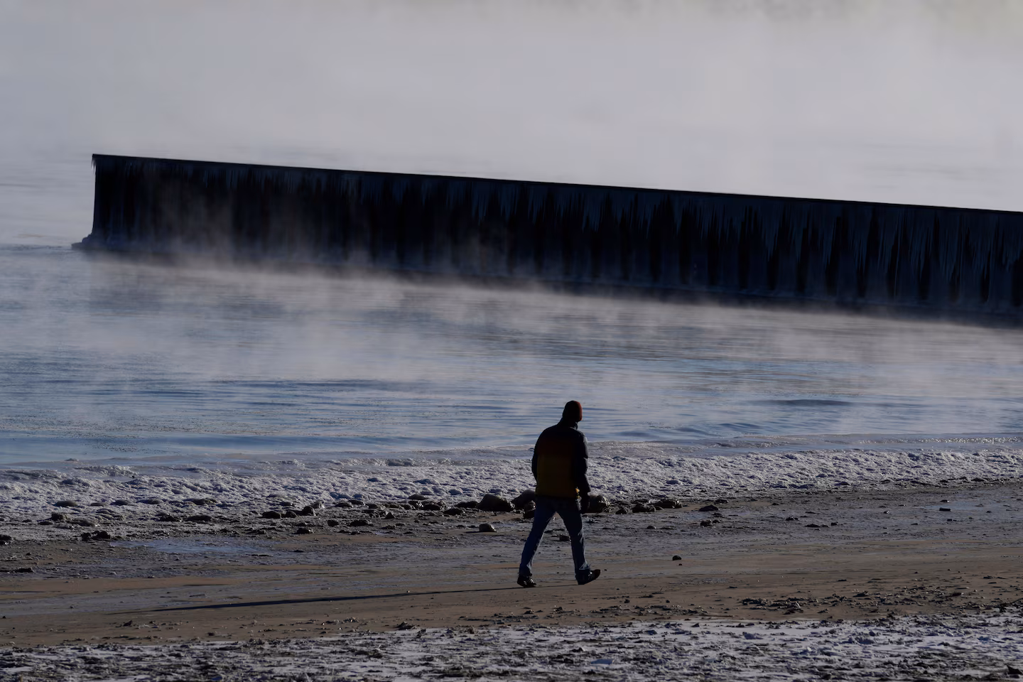
A bitter Arctic blast has engulfed much of the U.S., bringing record-breaking cold temperatures and snowfall to numerous states, including areas as far south as the Gulf Coast and Florida. The extreme cold has shattered temperature records, disrupted air travel, and caused school and office closures. The Pacific Northwest is also experiencing snow and ice, while the Northeast is bracing for another winter storm. The frigid conditions are expected to persist into the weekend before gradually warming up early next week.
An Arctic blast has brought snow, freezing rain, and record-breaking cold to much of the United States, ending a nearly two-year "snow drought" in New York City and putting the West into a deep freeze. Record-breaking cold temperatures are expected across the Rocky Mountains, Great Plains, and Midwest, with significant snowfall in various regions. The extreme weather has resulted in deaths, power outages, and flight disruptions, prompting calls for electricity conservation in Texas.
An arctic blast is bringing record-low temperatures and life-threatening wind chills across the US, with snow and freezing rain spreading from the South into the Northeast. Over 120 million people are under wind chill alerts, and at least five deaths have been reported. Icy roads are making travel dangerous, leading to school closures in several states. The Northeast is bracing for heavy snowfall, while the Pacific Northwest faces an ice storm warning. Sub-zero wind chills are causing frostbite concerns, with temperatures expected to moderate midweek before another surge of colder air arrives.
An arctic blast has caused over 2,400 flight cancellations and led to school closures in the South as heavy snow and ice hit the region. Record-low temperatures are expected in the Heartland, with wind chill alerts issued from Montana to Texas. Snow and ice are also forecast for the Northeast, with up to 3 feet of snowfall possible in Buffalo.
A historic late-season snowstorm is hitting parts of the Midwest and Ohio Valley, bringing heavy snow, gusty winds, and possible record cold high temperatures. Parts of Michigan's Upper Peninsula have already seen up to 18 inches of snow, and another two feet are possible through Tuesday. The storm is caused by a strong area of low pressure that has stalled out over the Great Lakes region, bringing strong effects felt for a longer duration. Flood watches are in effect across the region for possible lakeshore flooding and additional river rise expected from snowmelt.