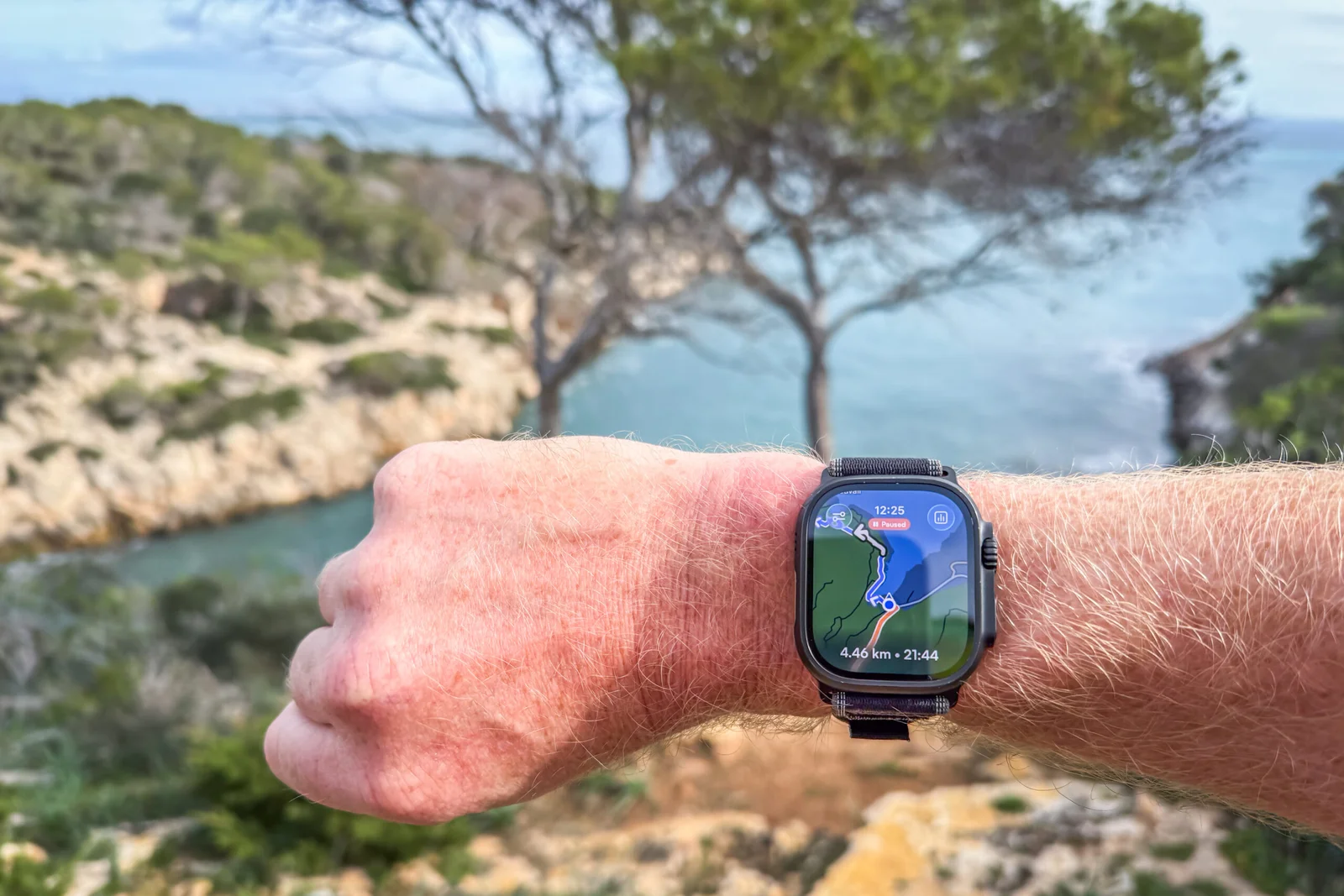
Komoot Makes Apple Watch Navigation Truly Offline
Komoot now provides true offline maps and routing on Apple Watch, letting you download a 3 km-wide map strip around your route and a 5.5 × 5.5 km area around your recording so you can navigate without phone or cellular; maps refresh every 7 days and you only need to unlock the region (no extra subscription). Upcoming tweaks include live route editing, auto rerouting, live tracking, broader map views, and customizable data fields.