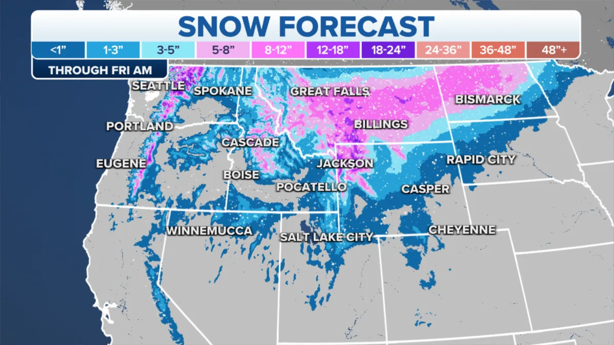
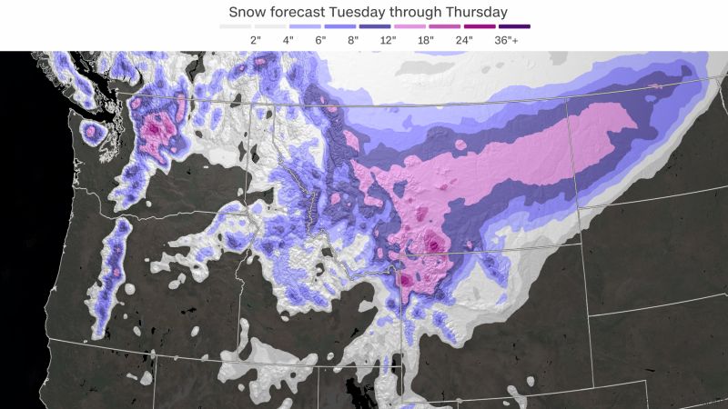
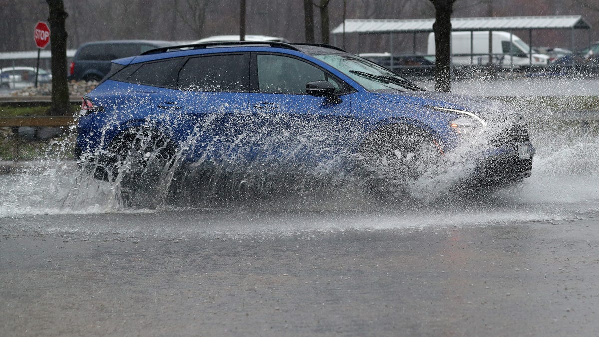
A powerful spring storm is expected to bring heavy snow and potential blizzard conditions to the Northern Plains and Upper Midwest, with at least 8 inches of snow forecasted for parts of Nebraska, South Dakota, Minnesota, and Wisconsin. The storm could also bring strong winds, reduced visibility, and travel disruptions, with blizzard warnings in effect and road closures expected. In the West, a winter storm warning is in place for the Sierra Nevada region, while heavy spring rain has caused flooding along the Interstate 95 corridor on the East Coast.
The first major snowstorm of the season is expected to hit the northern Rockies, northern Plains, and parts of the Pacific Northwest, potentially causing travel delays. Winter Storm Warnings, Watches, and Advisories are in place for several states, with snowfall amounts ranging from several inches to locally 1 to 2 feet in higher terrain areas. The storm will begin in the Pacific Northwest and move into Montana and North Dakota, with heavy snowfall expected. Motorists are advised to prepare for winter driving conditions, and temperatures will drop significantly with arctic air moving in. The snow cover may persist through Halloween weekend, with below-freezing temperatures expected.
The northwestern US and parts of the Northern Plains are bracing for the first significant snowstorm of the season, with high elevation areas expected to receive over a foot of snow. A surge of cold air and moisture will spread across Washington, Oregon, Montana, Idaho, and the Cascades, leading to disruptive snow and tricky travel conditions. Temperatures will plummet, causing frigid conditions and heavy snowfall. While the highest elevations will see the most significant snowfall, low elevation areas in Washington, Montana, and South Dakota will also be affected. The storm will eventually move eastward, burying parts of South Dakota in over a foot of heavy snow. Melting and refreezing may lead to treacherous ice formation. The snowfall is expected to taper off by Friday.