Michigan Braces for Tuesday Storm with Snow and Varying Impacts
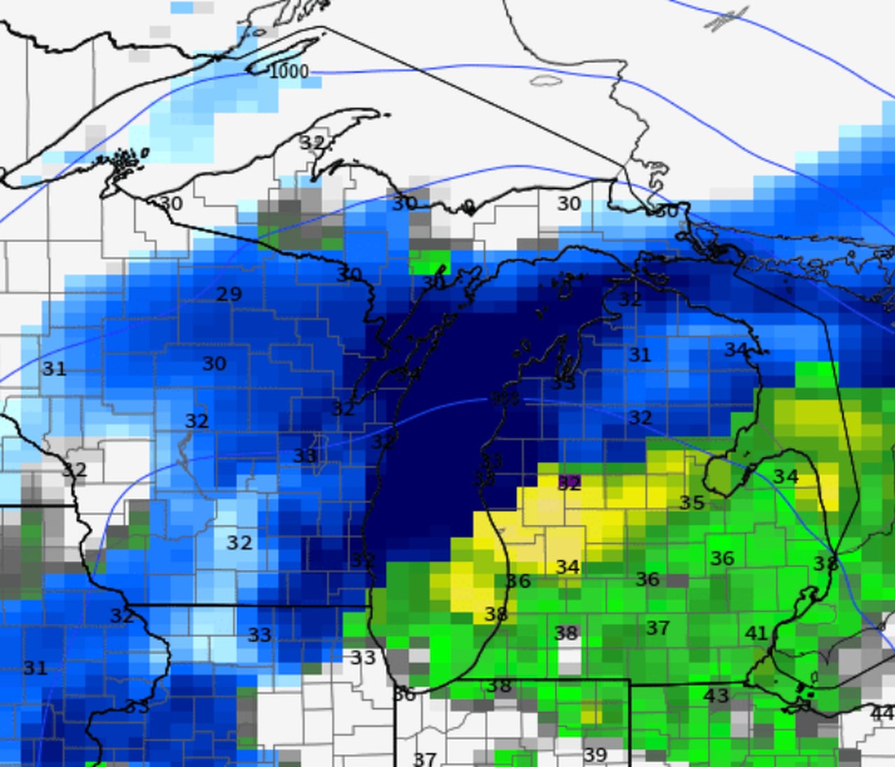
The rain-snow line for the upcoming Tuesday/Wednesday storm in Michigan is expected to be positioned just north of Muskegon to around Clare to Tawas City, with areas north of this line likely to see all snow and heavier accumulations. The U.S. GFS model suggests a slightly warmer scenario, favoring rain over snow due to the prevailing warmth in the region. No freezing rain is expected, and the storm is anticipated to bring a mix of snow and rain to various parts of Michigan, with the precipitation eventually changing back to snow showers by Wednesday morning.