"California's Extreme Weather: From Drought to Deluge in SoCal"
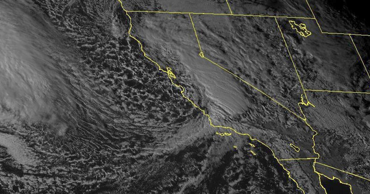
Record rainfall in Southern California caused significant flooding, with before-and-after images from Floodbase showing the scale of the devastation. The images reveal dramatic differences in accumulated water between late January and early February, with flooding at its peak around Los Angeles on Feb. 6 and in Santa Barbara County on Feb. 5. The storms killed at least nine people, caused landslides, and resulted in property damage along the California coast, with more rain expected. Floodbase's AI model simulates satellite imagery to provide a visual representation of the flooding, as public satellites have not yet flown over the affected areas.