"California's Extreme Weather: From Drought to Deluge in SoCal"
TL;DR Summary
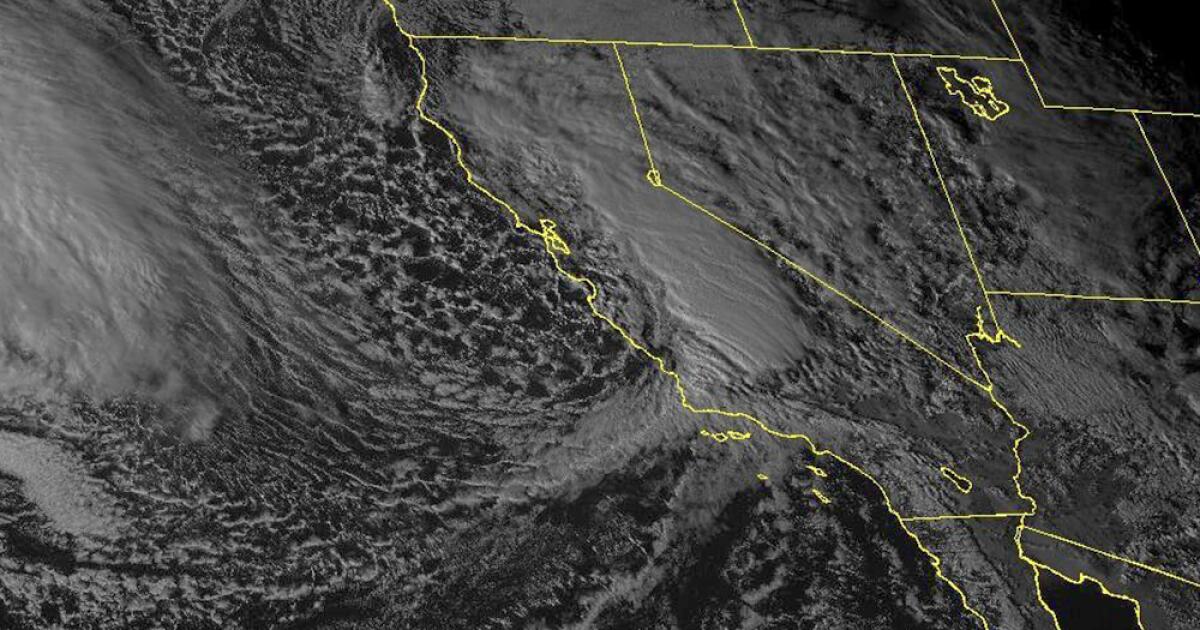
Record rainfall in Southern California caused significant flooding, with before-and-after images from Floodbase showing the scale of the devastation. The images reveal dramatic differences in accumulated water between late January and early February, with flooding at its peak around Los Angeles on Feb. 6 and in Santa Barbara County on Feb. 5. The storms killed at least nine people, caused landslides, and resulted in property damage along the California coast, with more rain expected. Floodbase's AI model simulates satellite imagery to provide a visual representation of the flooding, as public satellites have not yet flown over the affected areas.
Topics:nation#atmospheric-rivers#floodbase#flooding#satellite-imagery#southern-california#weathernatural-disasters
- Before-after images show the scale of flooding across SoCal Los Angeles Times
- L.A. County received a stunning amount of rain this week KTLA Los Angeles
- The good news, bad news on California’s water supplies, drought after record rainfall OCRegister
- Here Are 13 Photos That Capture The Intense And Historic Rainfall Happening In California Yahoo Life
- California forecast calls for more floods risks as another storm nears USA TODAY
Reading Insights
Total Reads
0
Unique Readers
7
Time Saved
1 min
vs 2 min read
Condensed
71%
339 → 99 words
Want the full story? Read the original article
Read on Los Angeles Times