New York City's Shifting Landscape: Sinking and Rising Zones Revealed
TL;DR Summary
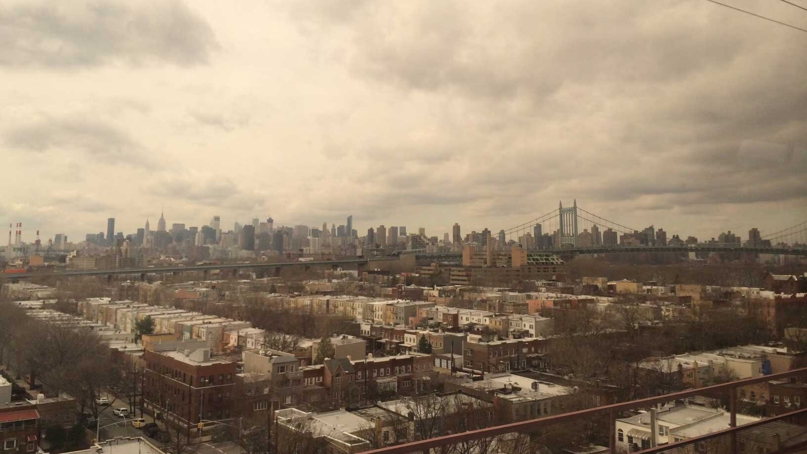
A new study using remote sensing techniques has identified areas in New York City that are sinking and rising at different rates. Factors such as land-use practices and the legacy of glaciers contribute to these elevation changes, which can impact local flood risk associated with sea level rise. The study found that the metropolitan area is subsiding by about 0.06 inches per year on average, with certain neighborhoods and landmarks experiencing more rapid subsidence. The research highlights the importance of tracking land motion for flood mapping and planning purposes, particularly as climate change leads to higher sea levels and increased storm surges.
Topics:science#flood-risk#land-motion#new-york-city#remote-sensing#science-and-environment#sea-level-rise
Reading Insights
Total Reads
0
Unique Readers
0
Time Saved
4 min
vs 5 min read
Condensed
89%
941 → 102 words
Want the full story? Read the original article
Read on Phys.org