Satellite images reveal Western snowpack at record lows after a scorching March
TL;DR Summary
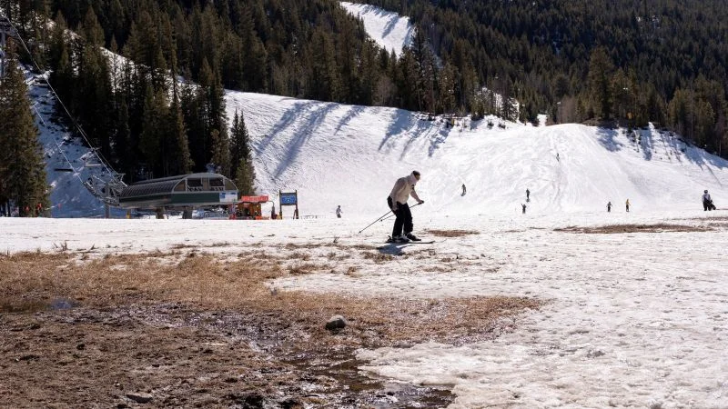
A record-warm March melted the western U.S. snowpack to historic lows, with California’s snowpack at just about 22% of average and Sierra Nevada snow cover dropping from 52% to 21% in a month. Colorado River Basin snowpack is at record lows, threatening summer water supplies for millions and potentially worsening drought and wildfire risk. NASA Worldview satellite imagery highlights the rapid melt, and climate scientists say human-caused warming is shifting snowmelt timing and intensifying heat waves, signaling more strain on water resources in the years ahead.
- Before and after satellite images show how little snow is left in the western US CNN
- As the West’s scant snowpack melts, Coloradans brace for a lean water year Colorado Public Radio
- What the historic snow drought means for water, wildfires and the future of the West The Conversation
- Front Range water utilities impose restrictions and push conservation to combat drought this summer The Colorado Sun
- Colorado's record low snowpack drives urgent water conservation message KUSA.com
Reading Insights
Total Reads
0
Unique Readers
8
Time Saved
175 min
vs 176 min read
Condensed
100%
35,026 → 86 words
Want the full story? Read the original article
Read on CNN