"Impending Weather Shift: From Snow to Slush, Ice, and Freeze in Storm's Second Phase"
TL;DR Summary
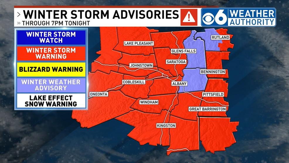
The ongoing snowstorm has brought varying snowfall totals, with over 10-12 inches in some areas and 2-4 inches in the Capital Region. Moderate snow is expected to continue into the afternoon, with an additional 1-3 inches. A break in the weather is anticipated Monday into Tuesday before a major storm hits Tuesday night into Wednesday, bringing heavy rain, wind, and potential flooding, with rainfall potential of 1-2 inches, locally up to 3 inches. Temperatures could rise to the upper 40s to mid 50s. The weather pattern remains active with more systems forecasted towards the end of the week.
- Snow Storm Forecast and Update - What to Expect For the Rest of Sunday WRGB
- Winter storm pulls away, IMPACT DAY Tuesday wgaltv
- Part two of snow coming through this afternoon WTNH.com
- Severe Weather Alert: Mix Back to Snow Today, Turning Icy WPRI.com
- Storm: Phase 1 Complete, Now Rain, Slush, Snow and Freeze Coming GoLocalProv
Reading Insights
Total Reads
0
Unique Readers
6
Time Saved
2 min
vs 3 min read
Condensed
77%
431 → 98 words
Want the full story? Read the original article
Read on WRGB