Google Maps Rolls Out AI-Powered Immersive Navigation and 'Ask Maps' Update
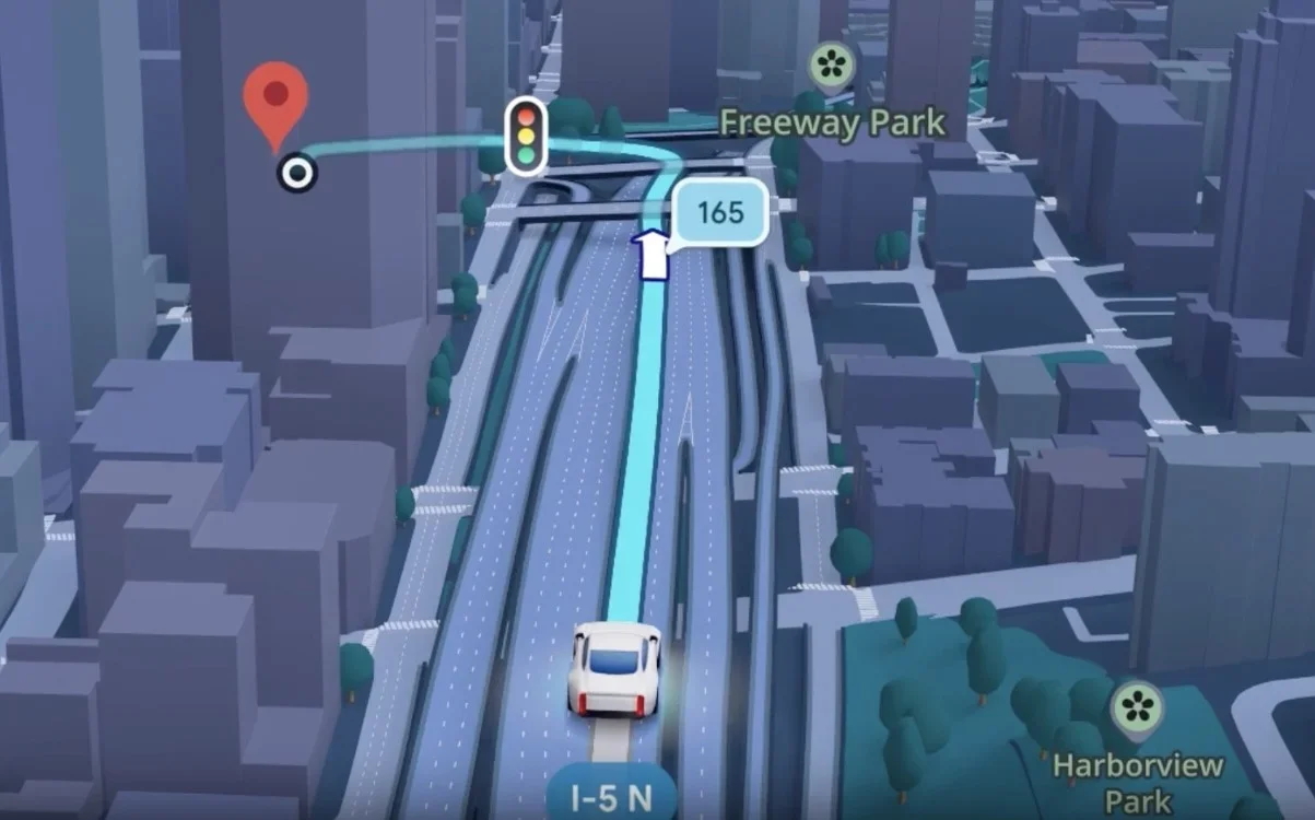
Google Maps has released its biggest update in over a decade, turning the app into an AI-powered travel companion with Immersive Navigation (enhanced road details and see-through 3D renderings) and Ask Maps (natural, context-aware directions and place questions) powered by Gemini AI; rolling out in the US for iOS, Android, CarPlay, Android Auto, and Google-built cars, potentially shaking up competition with Waze and Apple Maps.