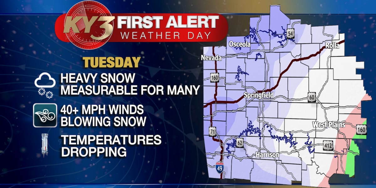
The Ozarks region experienced cold and cloudy weather with some snow showers, but Sunday is expected to be sunny with temperatures rising to the mid to upper 40s. A new storm system will bring rain on Monday, turning to snow with gusty winds on Tuesday, leading to a First Alert Weather Day. Snow accumulations will vary, with 1 to 3 inches expected in Springfield and up to 6 inches northward. Temperatures will remain below normal through the next week, with another potential storm system by next Friday.
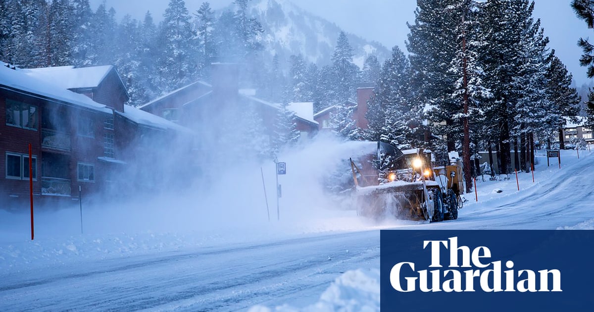
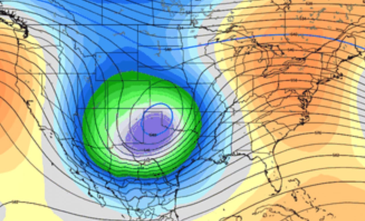
The US is preparing for a major storm system that is expected to bring heavy snow to northern states and intense rainfall with possible tornadoes to the southern regions. The Gulf coast and southeastern areas may experience severe thunderstorms and flooding, with up to 5 inches of rain forecasted. Northeastern and New England states could see 6-12 inches of snow, while major east coast cities are likely to face rain. Over 25 million Americans are under storm watches, and the west coast is anticipating large waves and potential beach erosion. The storm has already brought snow to New Mexico and Texas, and California is on alert for significant snowfall in the mountains, which is crucial for the state's water supply amidst a potential "snow drought."
Michigan is expected to experience a shift in weather patterns that could bring more moisture-laden storm systems, resembling a winter pattern. This change won't be abrupt but will evolve over the next week, leading to cooler temperatures in the upper-20s and lower-30s and potentially more snowfall. The pattern is influenced by El Niño, which typically brings warmer weather, but the upcoming systems will likely result in a "juicier" flow from the southwest, increasing the chance of precipitation in Michigan.
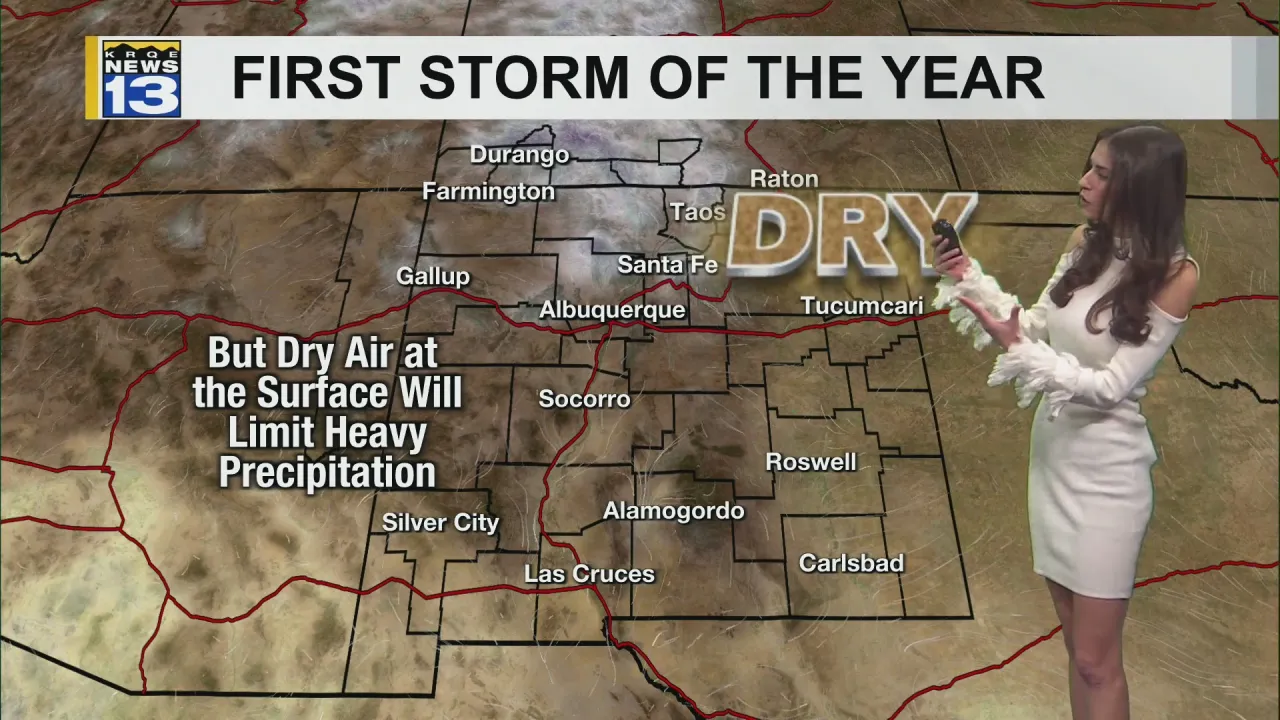
New Mexico is expecting an active weather pattern at the start of 2024, with a storm system bringing low-elevation rain and high-elevation snow late tonight, mainly along and south of I-40. Albuquerque might see light sprinkles, but dry surface air could limit moisture reaching the ground. Conditions will dry out late Tuesday, with seasonable weather on Wednesday before another, more potent storm hits on Thursday, bringing widespread snow and rain and cooler temperatures. The active pattern continues with dry air on Saturday and yet another storm on Sunday. Residents are advised to stay updated with the latest forecasts.