Tag

Spy Satellite Images

All articles tagged with #spy satellite images

Declassified Spy Images Uncover Ancient Iraqi Battle Site
archaeology1 year ago

Declassified Spy Images Uncover Ancient Iraqi Battle Site

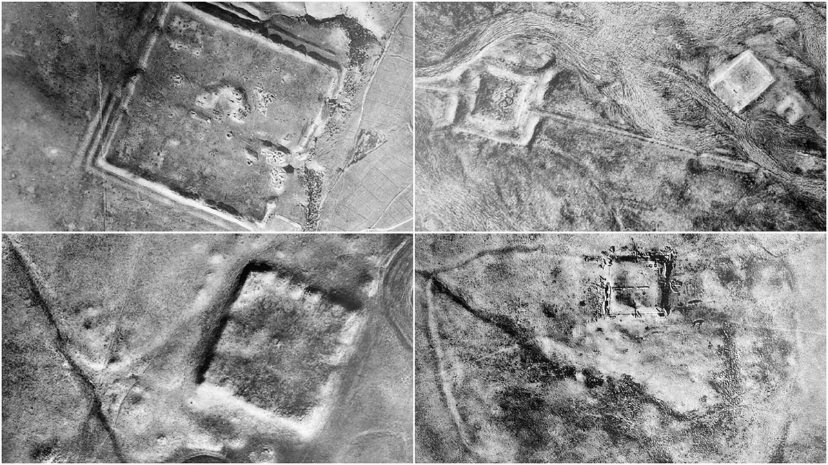
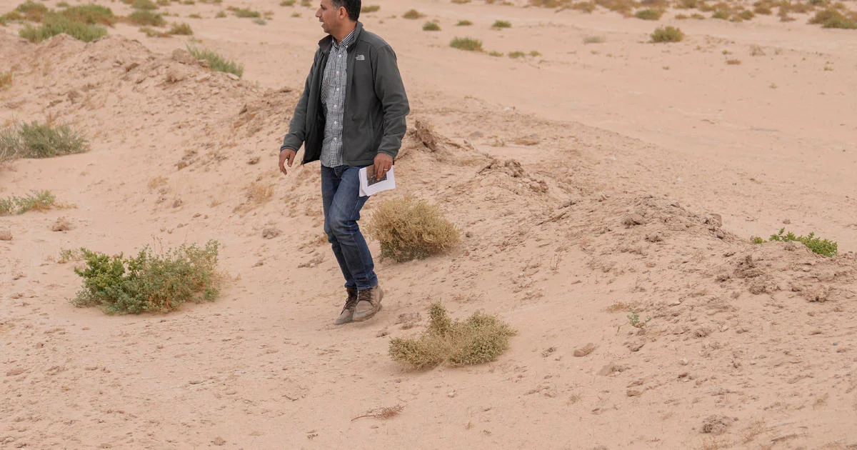
A British-Iraqi archaeological team has identified the site of the historic Battle of al-Qadisiyah in Iraq using declassified 1970s U.S. spy satellite images. The battle, fought in the 630s AD between Arab Muslims and the Sassanid Persian army, was pivotal in the spread of Islam. The site, located in southern Najaf, Iraq, features a trench, fortresses, and an ancient river, matching historical descriptions. This discovery is part of a broader effort to document endangered archaeological sites in the region, amid a resurgence of archaeological activity in Iraq.

"Secret Satellite Images Uncover 400 Ancient Roman Forts in the Middle East"
archaeology2 years ago

"Secret Satellite Images Uncover 400 Ancient Roman Forts in the Middle East"

Declassified spy satellite images from the 1960s and 1970s have revealed the presence of 400 Roman Empire forts in the Middle East, specifically in regions of Syria, Iraq, and the eastern Mediterranean. These newly discovered forts confirm and expand upon an aerial survey conducted in 1934, shedding new light on the Roman Empire's fortification of its eastern frontier. The images, obtained from the declassified Corona and Hexagon satellite programs, provide valuable archaeological data and insights into the Roman Empire's management of its frontier regions.