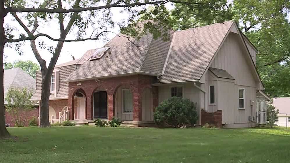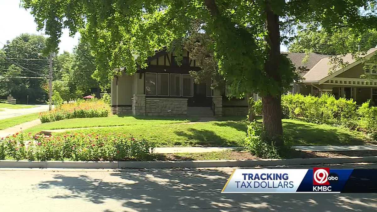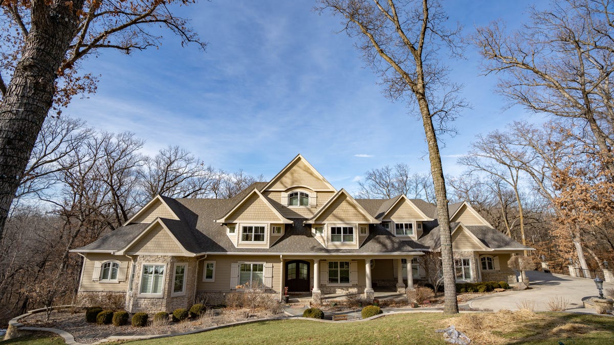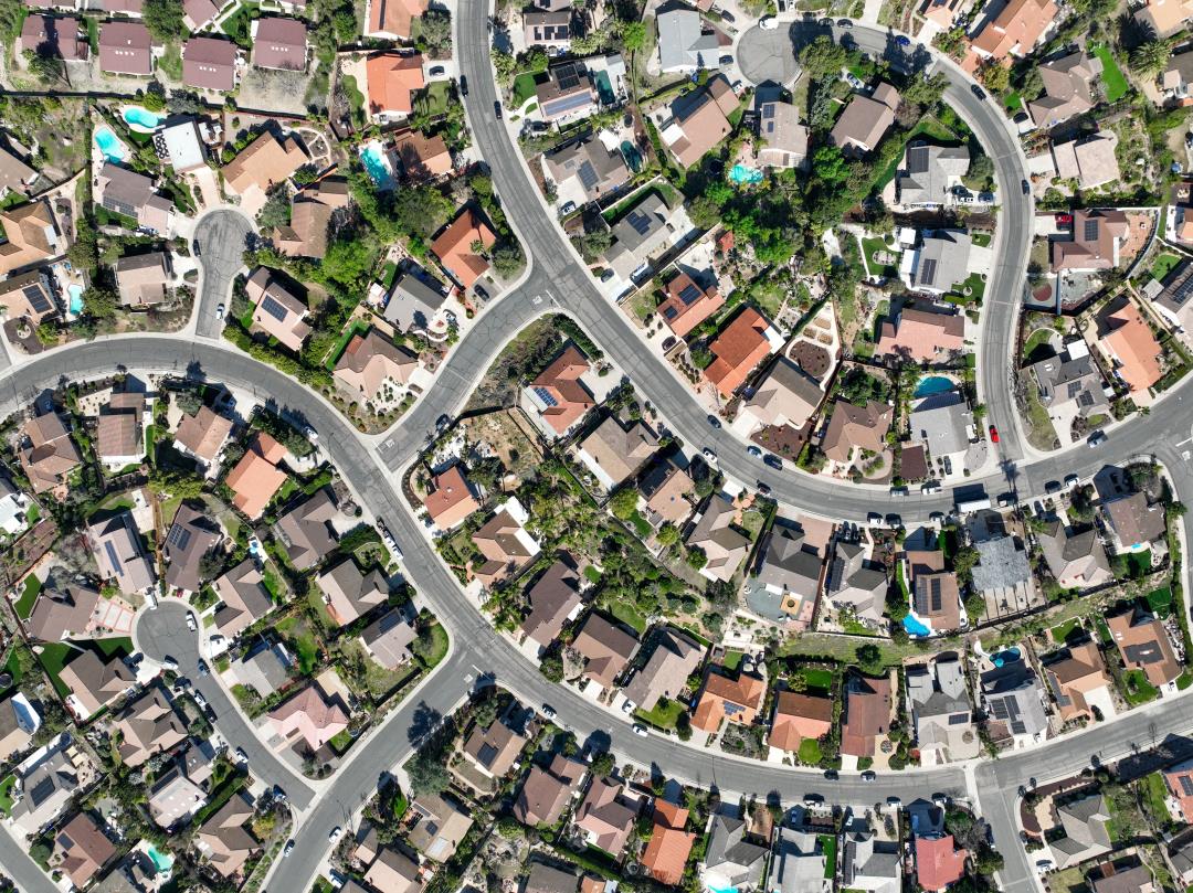
"Insurers' Aerial Surveillance Covers 99% of US Homes"
Home insurance companies are increasingly using aerial footage from drones, planes, and high-altitude balloons to assess properties, with the industry-funded Geospatial Insurance Consortium having aerial footage of 99% of US properties. Consumers are reporting being dropped by insurers based on this aerial imagery, with examples of homeowners being denied the opportunity to mitigate alleged hazards in their yards and outdated photos being used as reasons for nonrenewal. Insurers argue that customers agree to allow them to inspect their properties, including from the sky, but consumer groups are raising concerns about the lack of transparency and the potential for unfair decisions.