"Google Street View Data: Uncovering Neighborhood Factors Impacting Heart Health"
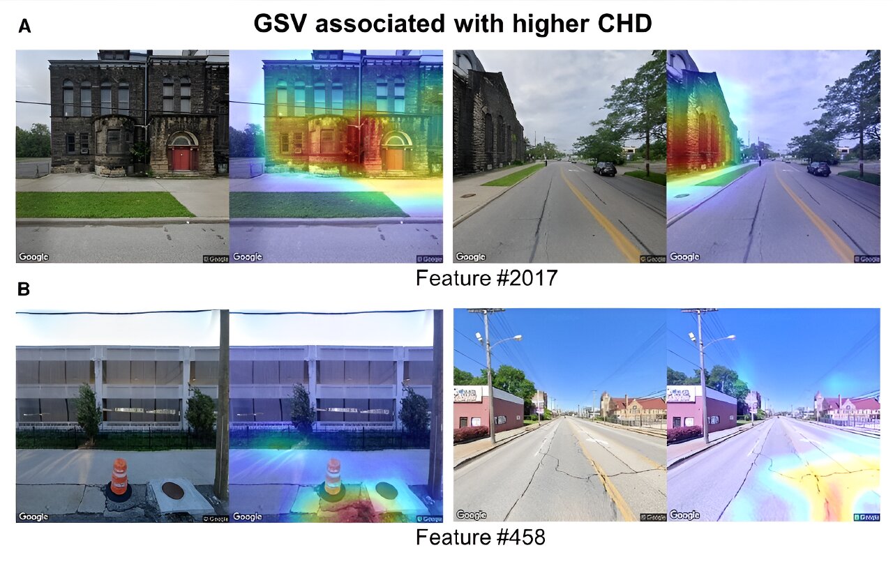
Researchers have used Google Street View to analyze the built environment and its correlation with the risk of coronary heart disease. The study, which included over half a million Google Street View images from various US cities, found that features such as green spaces and walkable roads were associated with lower risk, while poorly paved roads were linked to higher risk. The use of machine vision-based approaches and artificial intelligence could provide valuable insights for heart-healthy urban planning and understanding urban environments at scale.