California Wildfires: Satellite Images Reveal Devastation Amid Mass Evacuations
TL;DR Summary
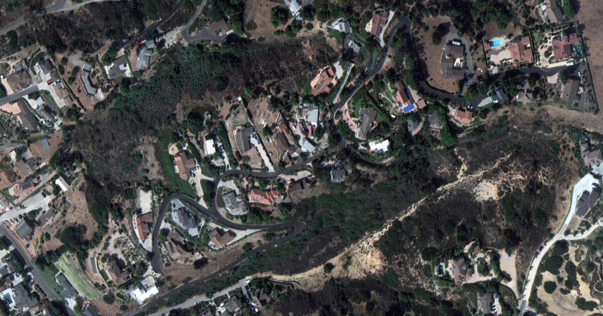
The Mountain fire in Ventura County has devastated Camarillo Heights, destroying 132 structures and damaging 88 more. Satellite images reveal the extent of the destruction, with entire neighborhoods reduced to ashes. The fire, fueled by dangerous Santa Ana winds, has grown to over 20,400 acres, forcing thousands to evacuate. Although winds are expected to ease, the fire remains only 7% contained, threatening over 11,700 structures.
- Destruction from Mountain fire shown in before-and-after satellite photos Los Angeles Times
- ‘We barely made it out’: Californians desperately flee their homes amid raging wildfires CNN
- Southern California firefighters gain ground over wildfire thanks to decreased winds NPR
- Satellite Images Show CA Fire Devastation The Weather Channel
- Southern California wildfire rages as it engulfs homes, forces mass evacuations USA TODAY
Reading Insights
Total Reads
0
Unique Readers
6
Time Saved
1 min
vs 2 min read
Condensed
75%
263 → 65 words
Want the full story? Read the original article
Read on Los Angeles Times