Weekend Weather Update: Rainy Start, Clearing Skies
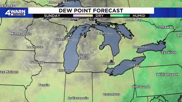
Showers and thunderstorms are expected to continue across Southeast Michigan and Southwestern Ontario through Saturday night, with the possibility of heavy rain and gusty winds. Cooler temperatures in the mid 60s to mid 70s will provide some relief from the humidity. Scattered showers will persist into Sunday morning, followed by partly sunny to mostly cloudy skies and drier conditions with highs around 80 degrees. Monday will be mostly sunny and hot with highs in the mid to upper 80s, while Tuesday will see developing clouds and a slight chance of rain in the evening. The better chance of showers and thunderstorms will occur on Wednesday and Thursday, with highs in the lower 80s.
- Tracking more rain chances, warming this weekend: What to expect WDIV ClickOnDetroit
- Ugh, Saturday’s weather situation has changed a lot overnight MLive.com
- Rain returns with storms for the start of the weekend in Metro Detroit -- Here's what to exepct WDIV ClickOnDetroit
- Tonight's Forecast: Scattered showers shift east, clearing skies FOX 17 West Michigan News
- Showery start to the weekend before a sunnier reprieve WLUC
Reading Insights
0
5
1 min
vs 2 min read
59%
278 → 113 words
Want the full story? Read the original article
Read on WDIV ClickOnDetroit