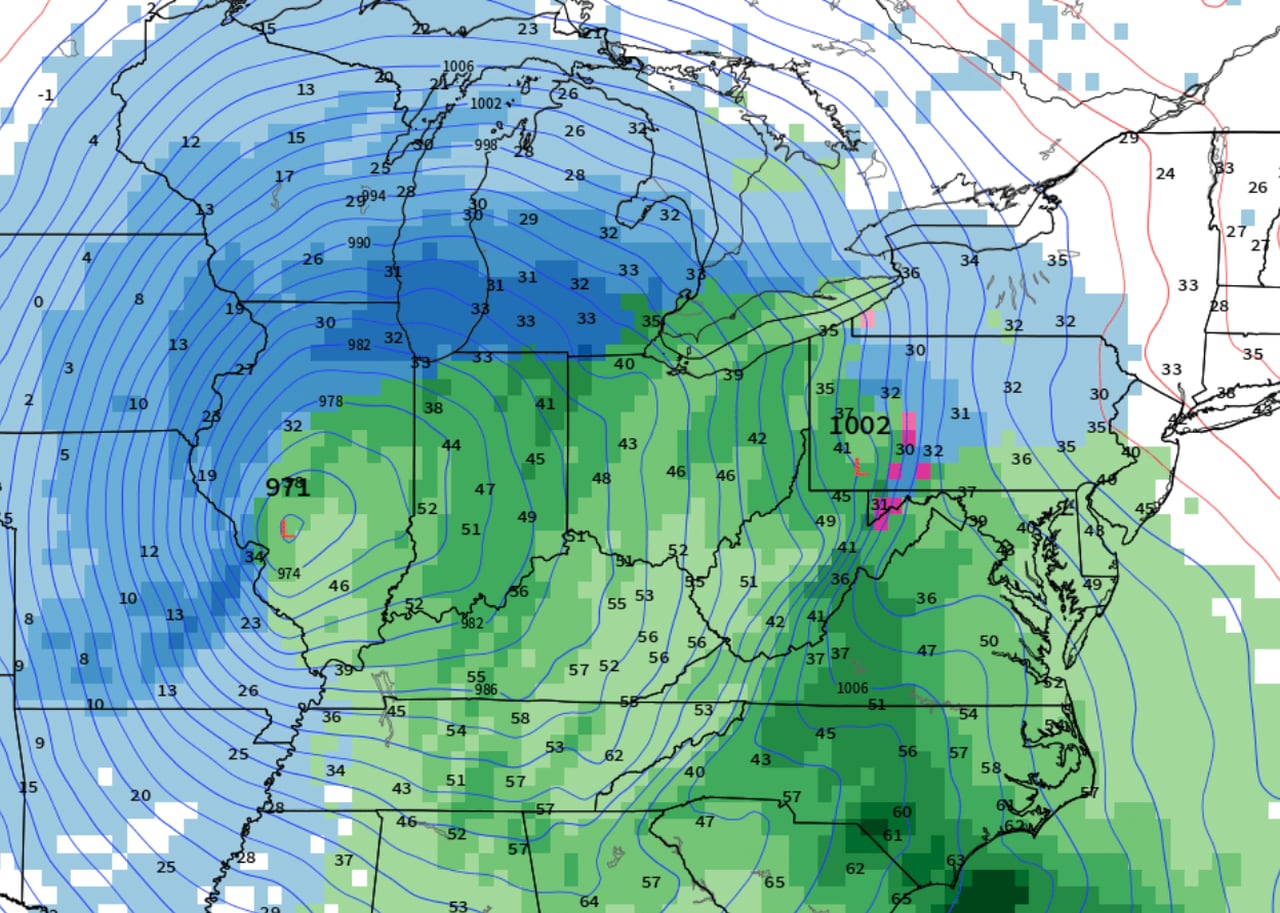
Michigan is set to experience a significant shift in weather as four storm systems are predicted to bring wintry conditions after a notably warm December. The first storm will narrowly miss the state, but the subsequent systems are expected to bring a mix of rain and snow, with each storm tracking slightly further south than the last. The final storm, potentially an Alberta Clipper, could result in all snow and colder temperatures. Residents are advised to stay updated on weather changes and prepare for winter driving conditions and possible heavy snowfall in the coming days.
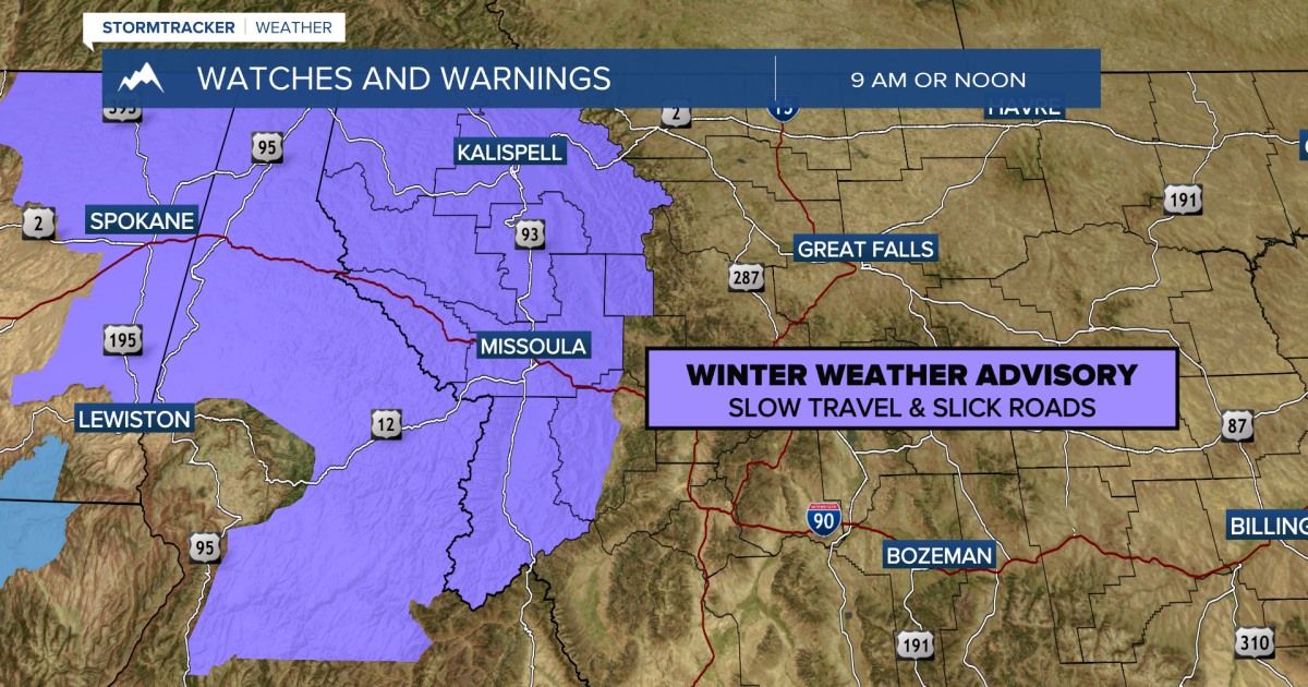
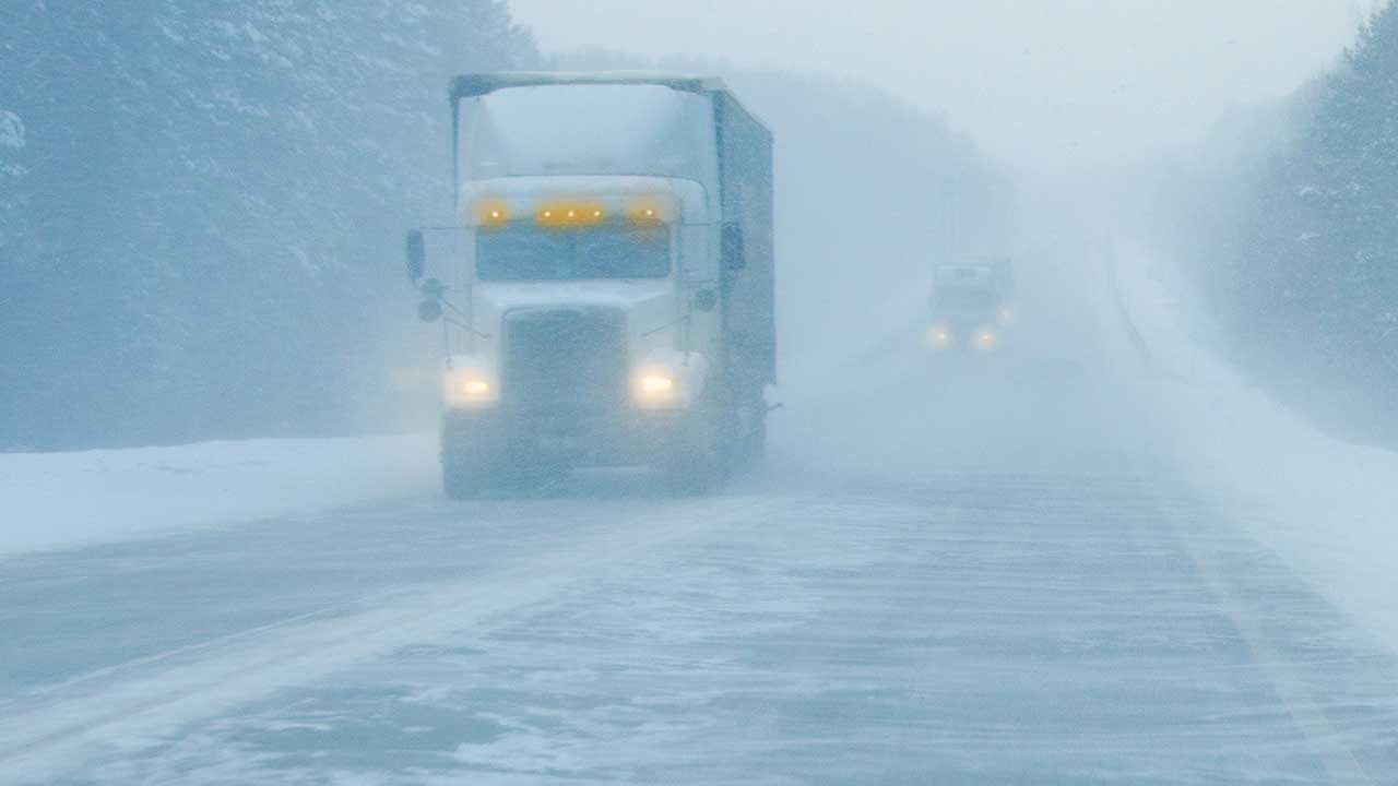
Western Montana is expecting several waves of winter weather, with snow chances increasing as the weekend approaches. The region will face multiple storms, with the first already underway and the last expected to bring a short break after Tuesday-Wednesday. Travel is anticipated to be particularly challenging on Sunday due to snow accumulation and slick roads. Snow totals could reach 1-3 inches in valleys and 4-6 inches in mountain areas by Sunday. Arctic air will bring even cooler temperatures late next week, with highs in the single digits. Residents are advised to be cautious with travel and stay updated on conditions.
Eastern Ohio and western Pennsylvania are bracing for an active weather pattern with three different storm systems expected to impact the region starting mid-week and continuing into the following week. The first system will bring light snow showers, particularly affecting the snowbelt area. A more significant storm is forecasted for the weekend, with heavy snow potential, but the exact amounts and track remain uncertain. A third system next week could bring a wintry mix, turning to rain and then back to snow with colder temperatures. Residents are advised to stay updated as the forecasts evolve.
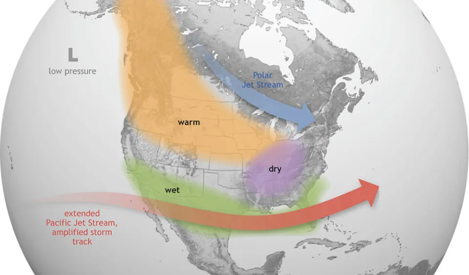
Columbus, Ohio, experienced a light snowfall on New Year's Eve, ending a two-week snow drought. The warmer-than-average winter, influenced by a strong El Niño pattern, has disrupted typical snow activities and led to record low snow coverage in the U.S. on Christmas Day. However, weather patterns indicate that more frequent cold air surges and potential snowstorms may occur in the coming weeks, with a chance of colder air from the polar vortex affecting the Midwest later in January or early February.
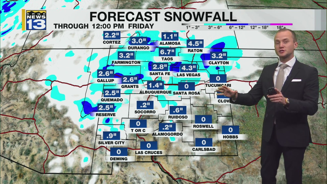
New Mexico is experiencing an active start to 2024 with a series of winter storms bringing rain, thunderstorms, and snow across the state. The first storm will affect southern New Mexico south of I-40, followed by a stronger system that could cause travel disruptions with snow reaching valley floors, including the Albuquerque Metro. After a brief respite, another storm is expected to bring even colder temperatures and more snow by Sunday night, with highs below freezing in some areas the following Monday.