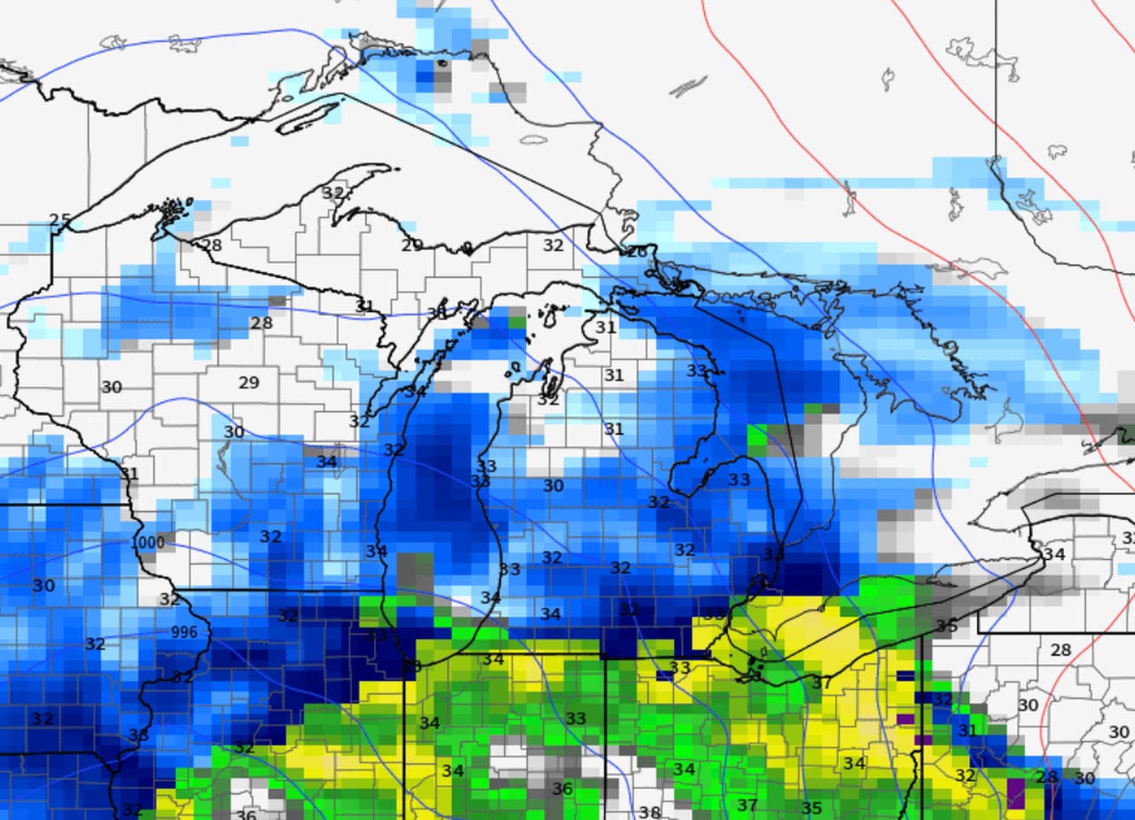
Michigan is bracing for a complex storm that will bring varying weather conditions across the state. Southern Lower Michigan can expect an initial burst of snow followed by a period of rain and then intermittent snow showers, while the northern half is set to receive consistent snowfall. Driving conditions will likely be hazardous Tuesday morning, but may improve in the afternoon as the snow transitions to rain in the south. The entire state is forecasted to return to spotty snow by Wednesday morning, with additional accumulations expected. This storm is the second in a series of four, indicating a more active weather pattern for the region.
Southern California is bracing for a series of cold storms, starting overnight, that will bring rain and snow to the region, particularly impacting mountain communities with a winter storm advisory in effect through Thursday morning. Snowfall of 3 to 6 inches, with up to 8 inches in higher elevations, and rain accumulation of 0.25 to 0.75 inches are expected. The storms will also cause high surf along the coast and potentially affect traffic on major routes like the 5 Freeway through the Tejon Pass. Drivers are advised to check road conditions and avoid mountain travel during the storms.
The 2024 Farm Show is kicking off with snowy conditions, aligning with the adage that the event often brings snow. Weather models predict a significant storm developing in the central US, potentially impacting the East Coast during the Farm Show weekend. While social media posts speculate on high snowfall, forecasters advise caution and recommend following trusted sources for updates. The weather trend indicates the storm may have a greater impact in the latter half of the weekend. Additionally, the Farm Show week is expected to see more wet weather, with two more storms bringing more rain than snow, leading to steady and soaking conditions.