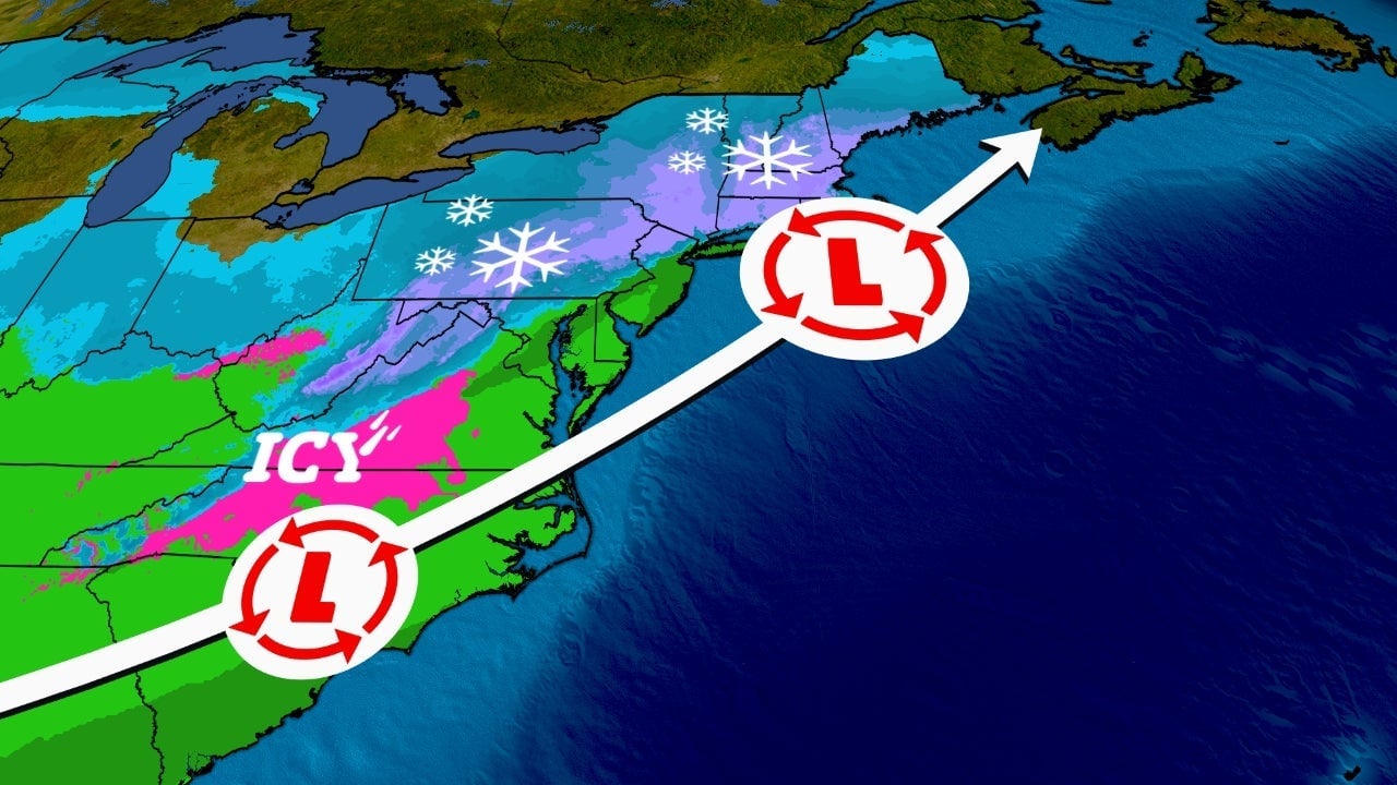
A winter storm system is expected to bring a cold rain to the Upstate and a wintry mix, including potential ice accumulation, to Western North Carolina from Friday night into Saturday morning. Henderson, Transylvania, and Rutherford counties are under a winter storm warning with possible ice accumulation of up to a third of an inch, leading to hazardous road conditions and potential power outages. The forecast is complex and subject to change with temperature fluctuations.
A Winter Weather Advisory has been issued for several northern counties, with potential ice accumulation leading to slick travel conditions. The Charlotte metro area will experience rain, while light icing is possible in the foothills and mountains. Temperatures will rise throughout the day, alleviating icing concerns. Dry weather is expected to return Sunday and Monday, but a significant rain threat on Tuesday could cause flooding. Residents are advised to stay informed via the WSOC-TV weather app and follow updates from local meteorologists.
Winter Storm Ember is set to impact the East Coast this weekend, bringing snow, ice, rain, and wind, potentially creating hazardous travel conditions. Southern and central New England may experience significant snowfall and gusty winds, while areas north and west of the I-95 corridor are expected to see the most snow. The storm could evolve into a nor'easter, with the worst conditions forecasted for Saturday through Sunday. Travelers are advised to avoid or delay travel in affected regions.