Michigan's Unique Lake-Effect Snow: A Stunning Winter Wonderland
TL;DR Summary
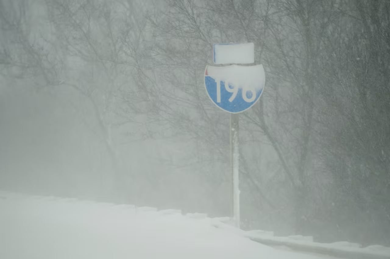
Lake-effect snow showers have been impacting Michigan, with satellite imagery showing bands of snow showers moving southeast. The movement and intensity of the bands depend on wind direction and the size of the "fetch" of the lake. Currently, smaller bands are forming over Lake Michigan, resulting in lighter snowfall. The formation of lake-effect clouds is influenced by the warming of air over the lake. Other weather phenomena, such as snowfall on the ground and higher clouds, can also be observed in the satellite imagery. Michigan's unique combination of weather and land features makes it unlike anywhere else in the world.
- Eye-candy view of lake-effect snow shows why Michigan is unlike anywhere in the world MLive.com
- First lake effect snow of the season blankets West Michigan, Allegan County hit hardest WWMT-TV
- Few morning snow showers, wind chills in 20s expected Wednesday in Metro Detroit WDIV ClickOnDetroit
- Another brush with snow before tapering Wednesday WLUC
- Tonight's Forecast: A few flurries and cold temperatures FOX 17 West Michigan News
Reading Insights
Total Reads
0
Unique Readers
0
Time Saved
2 min
vs 3 min read
Condensed
82%
570 → 100 words
Want the full story? Read the original article
Read on MLive.com