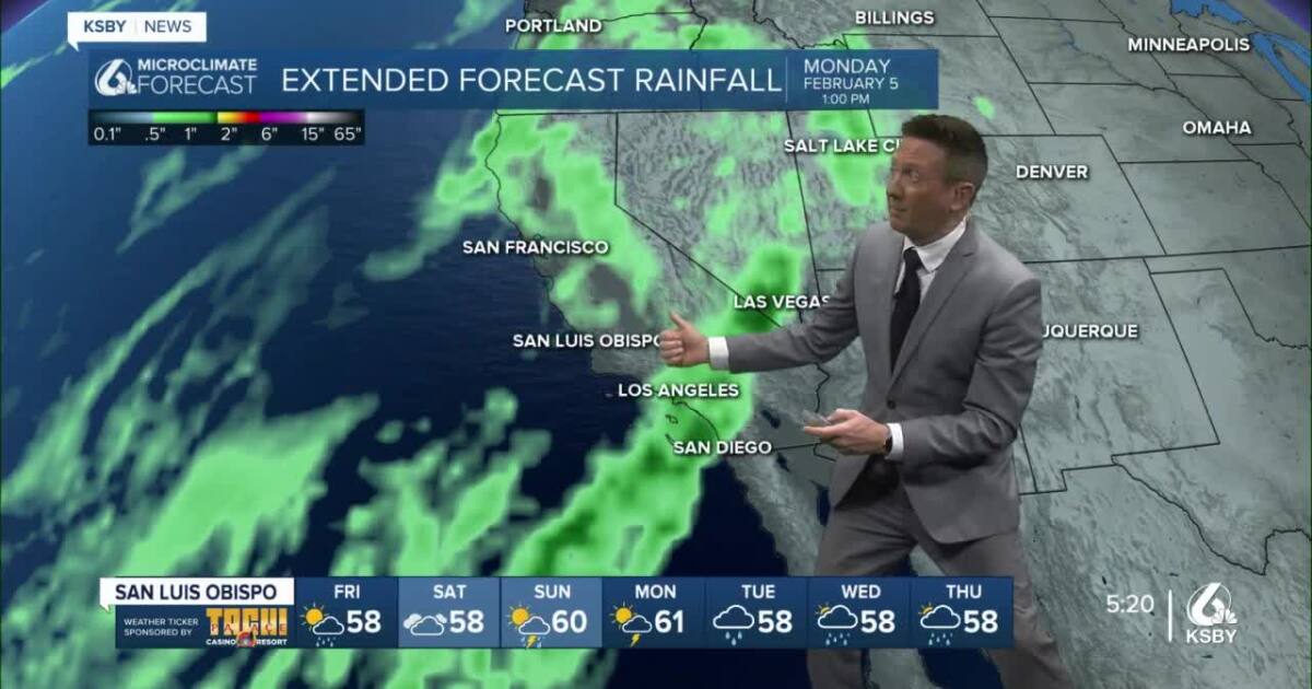
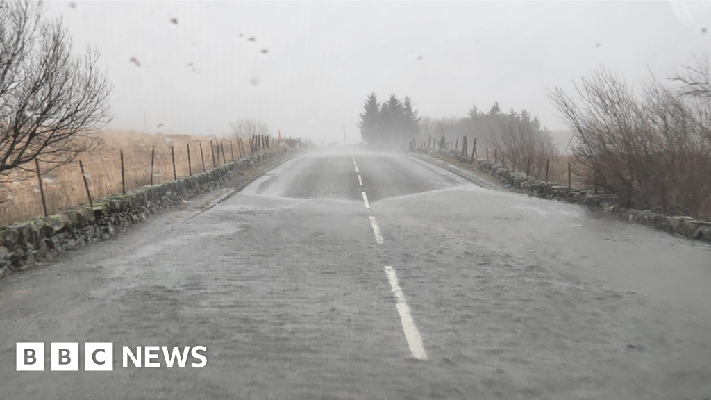
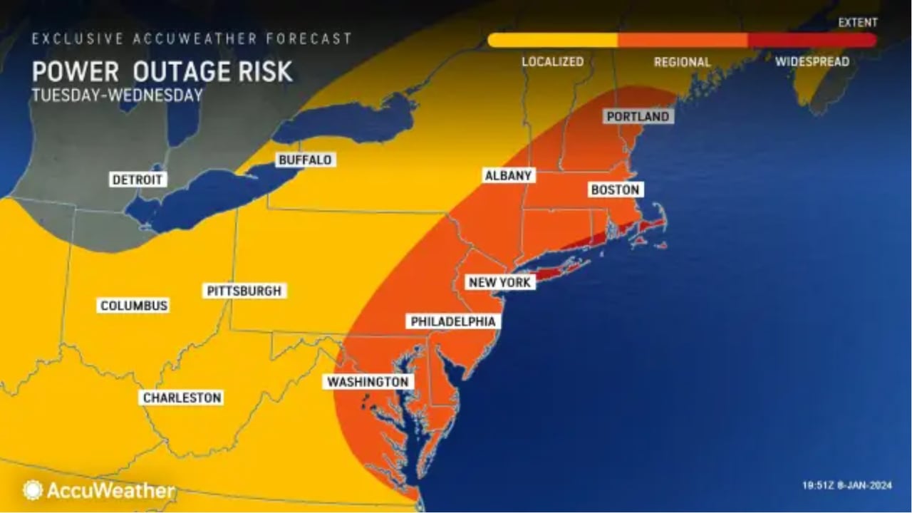
A large storm system is bringing rain, wind, and potential snow to the region, prompting various weather watches and warnings including flash flood watches, wind warnings, surf advisory, and winter storm warnings. The storm is expected to linger into early next week with heavy showers, thunder chances, and the possibility of small tornadoes or waterspouts. Residents are advised to stay home and off the roads if possible, as the storm has a lot of energy and close monitoring is recommended. Light showers may persist through Tuesday morning, with potential for more rain later in the week and next weekend.
The Central Coast is bracing for a stronger atmospheric river storm, rated as a 3 on a scale of 1 to 5, expected to bring heavy rainfall late Saturday into Tuesday. Showers may persist until Saturday afternoon, with temperatures in the upper 50s and low 60s. Sunday is anticipated to be particularly wet and windy, with the potential for 2-5 inches of additional rainfall, and up to 10 inches in some areas, particularly impacting Santa Barbara County. Residents are advised to stay informed and prepare for potential wave advisories, flood watches, and wind warnings.
Wales is being battered by winds of up to 90mph as Storm Isha approaches, prompting danger-to-life wind warnings and travel disruptions. The Met Office has issued amber wind warnings for the entire country, with potential for power cuts, building damage, and coastal dangers. Rail, sea, and air travel are expected to face significant disruptions, with cancellations and delays already affecting services. Drivers are advised to cut their speed and consider delaying journeys, while National Air Traffic Services has implemented air traffic restrictions. Storm Isha is the ninth named storm of the season, with each named storm posing a risk to people.
New Jersey is bracing for a powerful storm with heavy rain and fierce winds, prompting Gov. Phil Murphy to declare a state of emergency. Forecasters are warning of widespread river flooding, flash flooding, downed trees, and power outages. High wind warnings and advisories are in place for various counties, with potential gusts up to 60 mph. A flood watch covers the entire state, with 2 to 3 inches of rain expected, exacerbating already saturated ground. Coastal flood warnings and advisories are also issued for specific areas.
Powerful Santa Ana winds swept through the Inland Empire, causing at least five big rigs to overturn on freeways and knocking down power lines. Two trucks overturned near the I-10/I-15 interchange in Ontario, while two more were knocked down in Jurupa Valley and one in Devore. No injuries were reported. High wind warnings are in place for the Inland Empire until Tuesday morning, with gusts of up to 75 mph. Empty big rigs returning from deliveries are particularly at risk due to their high profile and lighter weight.